Helene, Isaac Soon To Join Florence In The Atlantic

At some point in the next day or two, we should have three named storms in the Atlantic. Of most importance at the moment is Florence, currently located about 935 miles east-southeast of Bermuda. The storm has encountered an area of high wind shear over the last day and a half and weakened dramatically from a category 4 hurricane to a tropical storm. However, it is expected to restrengthen and become a hurricane again over the weekend as it moves into a better environment.

Florence should continue on a general westerly track through the weekend. At this point it seems likely that the storm will miss Bermuda to the south, but will be a close call and residents should still monitor the progress of this storm closely.

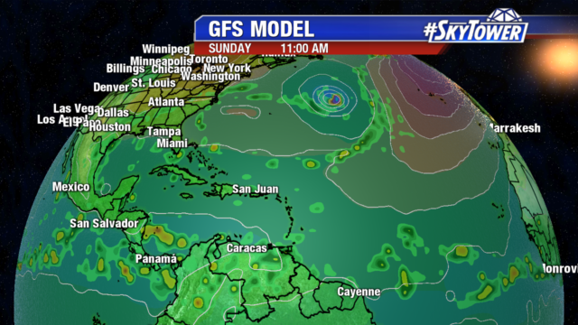
It is still too early to say whether or not Florence will have a direct impact on the East Coast. We’re still about 6 days away from a U.S. landfall, if one were to occur. The key steering mechanism continues to be a mid-level ridge north of Bermuda. By early next week a trough may develop a weakness in this ridge allowing the storm to move more north-northwest, perhaps missing the East Coast all together. There is still considerable model uncertainty, however, regarding the strength and timing of these steering components. Time will tell, and by the end of the weekend we should have a very good idea of what, if any, U.S. impacts there will be from Florence.

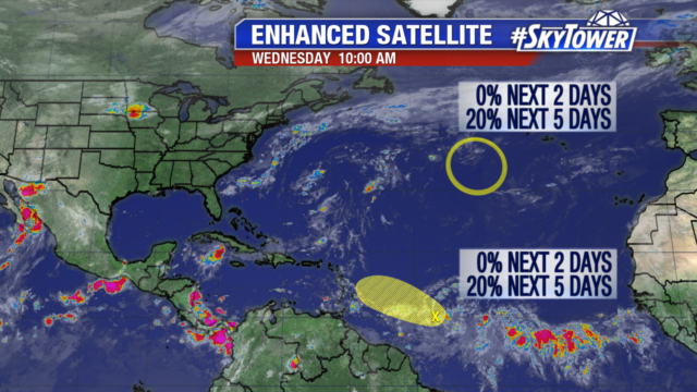
In the far eastern Atlantic, two new storms are trying to form a couple of vigorous tropical waves that have rolled off the coast of Africa. The names next in line would Helene and Isaac. Invest 92L has a 90% chance of development over the next 48 hours, while the other has been designated as Potential Tropical Cyclone Eight. The disturbance farther west should make its way across the Atlantic toward the Lesser Antilles over the next week or so. The system behind it should generally follow suit, but start to move north by the middle of next week. Time is certainly on our side here. We’ll take it day by day and see how things evolve.


Busy Stretch In The Atlantic Continues

It’s been an active couple of weeks across the Atlantic basin. Our attention at the moment is focused not only Hurricane Florence, but on two new potential systems in the far eastern Atlantic.

As of 11am EST, Hurricane Florence was a category 2 storm with winds 105 mph – weakening a bit over the last 12 hours or so after encountering an area of higher wind shear. It was located about 1140 miles east-southeast of Bermuda, and there is potential for a close encounter with the tiny island toward the middle of next week.

The forecast for Florence is a tricky one beyond 5 or 6 days. With multiple steering features in play, there is still substantial model spread regarding the ultimate path of Florence during the second half of next week.  It’s simply too early to say how close it will come to a brush with the east coast of the United States. At this point, folks from the Carolinas to New England should keep tabs on the progress of Florence over the next several days.

In the far eastern Atlantic, two tropical waves rolling off the coast of Africa have a medium to high chance of development over the next few days. The first is Invest 92L – a designation simply identifying an area that is being monitored for tropical development. This system should become Tropical Storm Helene at some point in the next couple days and move westward across the open Atlantic over the next week.

The tropical wave behind it currently has a 50% chance of development over the next 5 days as it moves off Africa. If this develops, the next name on the list would be Isaac.