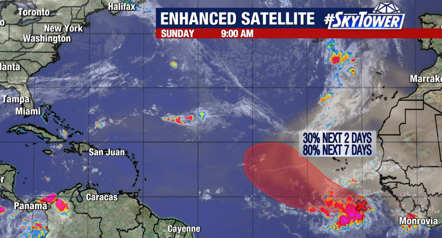
As October comes to a close, hurricane season is not quite ready for its curtain call. The National Hurricane Center is currently monitoring two areas of potential development.
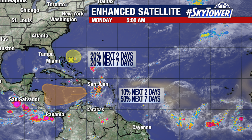
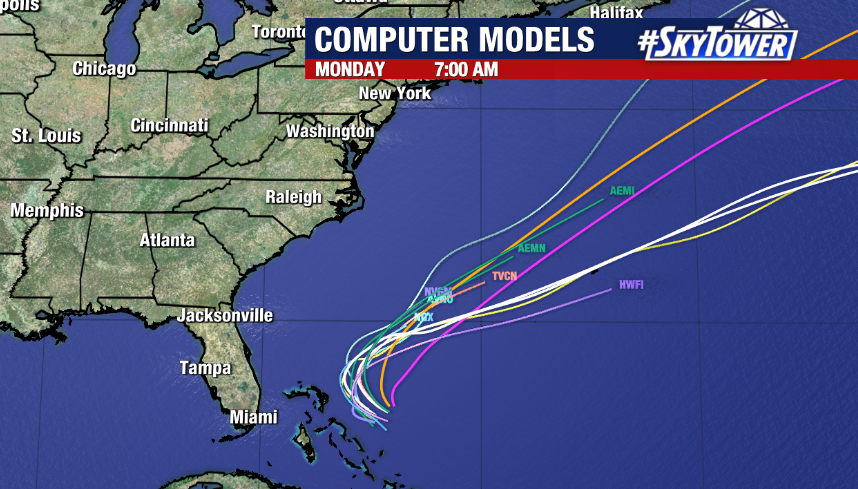
Invest 96L is an area of disorganized showers and storms associated with an area of low pressure moving west northwestward toward the Bahamas. However, any window of formation is quickly closing as it moves into more hostile environmental conditions with strong upper level winds and dry air. It’s been given a 20% chance to become a depression or storm. Regardless of development, it is expected to be picked up by an upper level trough and steered away from Florida.
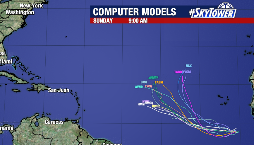
The other area is a disturbance over the eastern Caribbean Sea, moving westward. This one has more favorable chances as conditions appear more conducive for gradual development. The NHC has tagged it with a 10% chance of formation over the next 2 days and 50% over the next 7 days. We will continue to watch and have updates on this.
While tropical activity tends to diminish in November, hurricane season continues through November 30th.