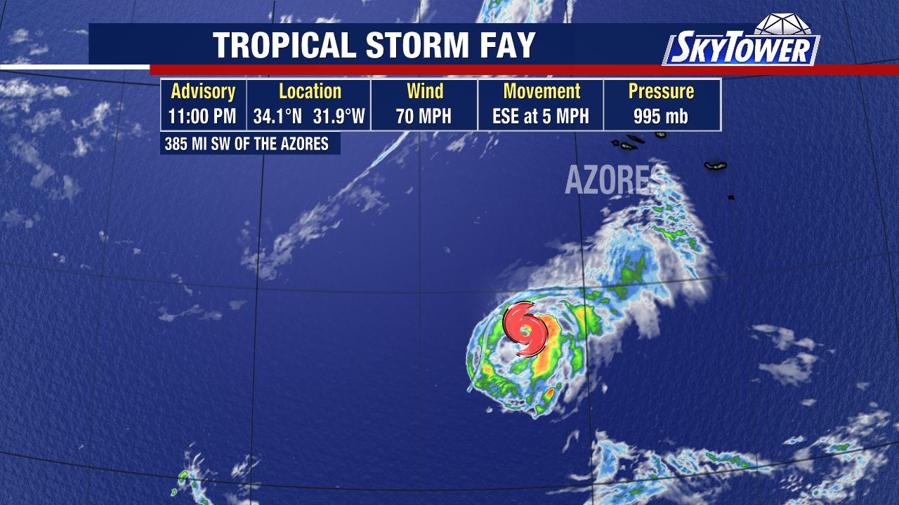
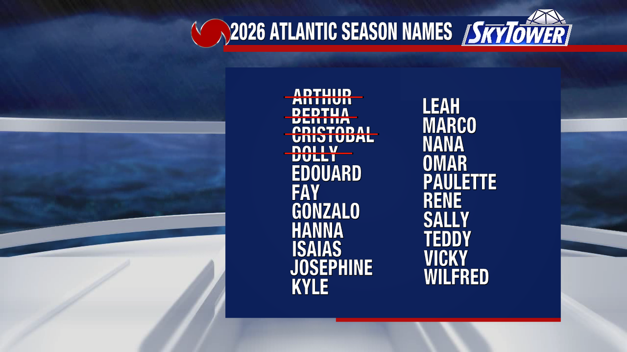
Tropical Storm Fay formed in the North Atlantic this morning. This is the sixth named storm of the season and cames three weeks behind the average date we expect our sixth storm to form.
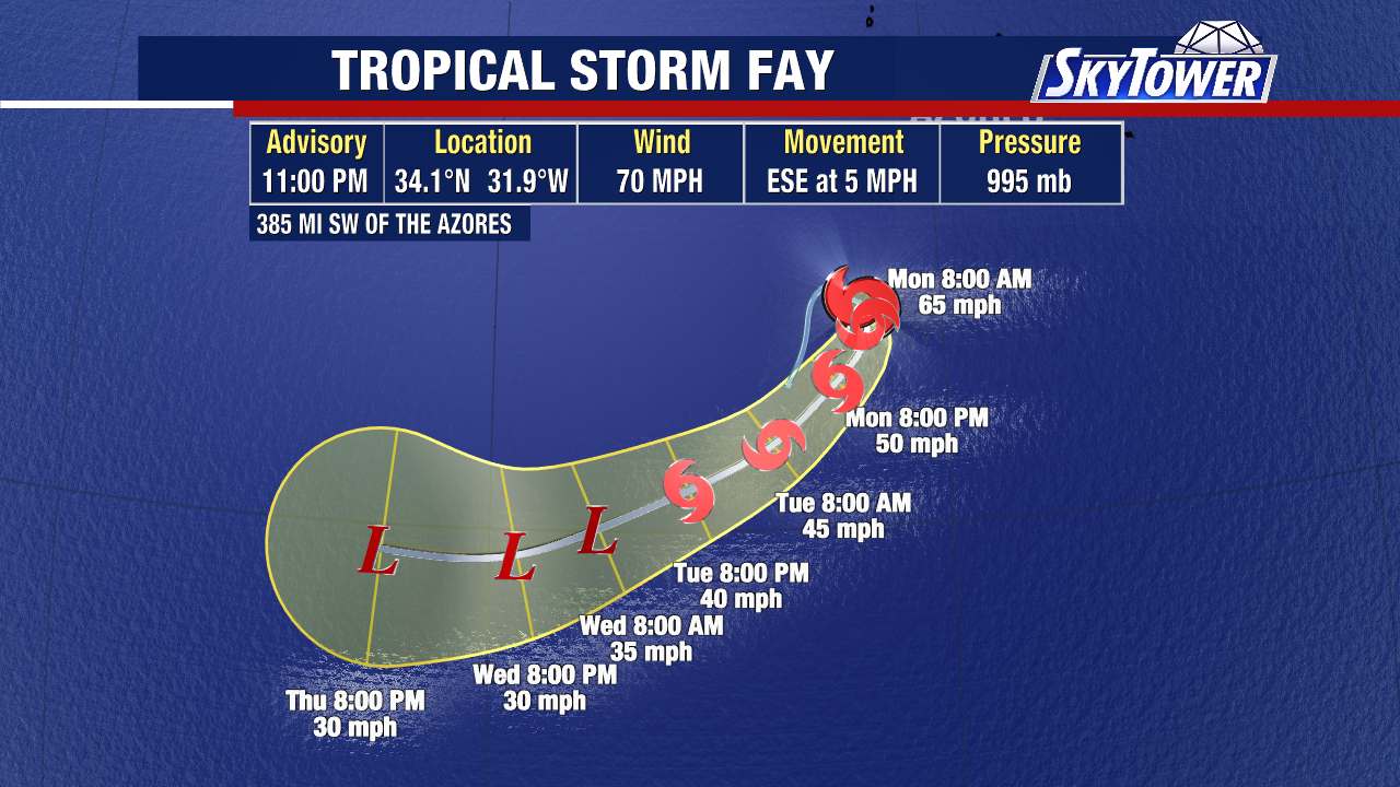
While Fay could briefly strengthen into a hurricane in the short term, it will eventually enter into an unfavorable environment and likely dissipate early next week. This storm is not a threat to the Unites States.
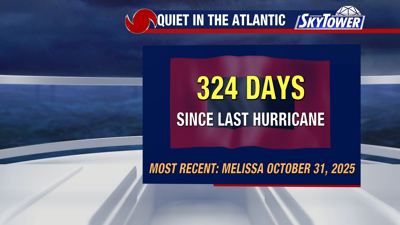
If Fay becomes a hurricane, this would end our 324-day streak without a hurricane in the Atlantic.
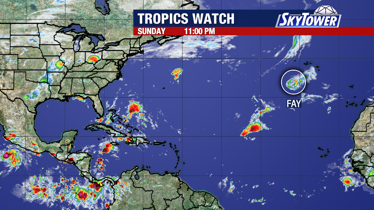
There are no other active areas of concern in the Atlantic Basin being monitored at this time.
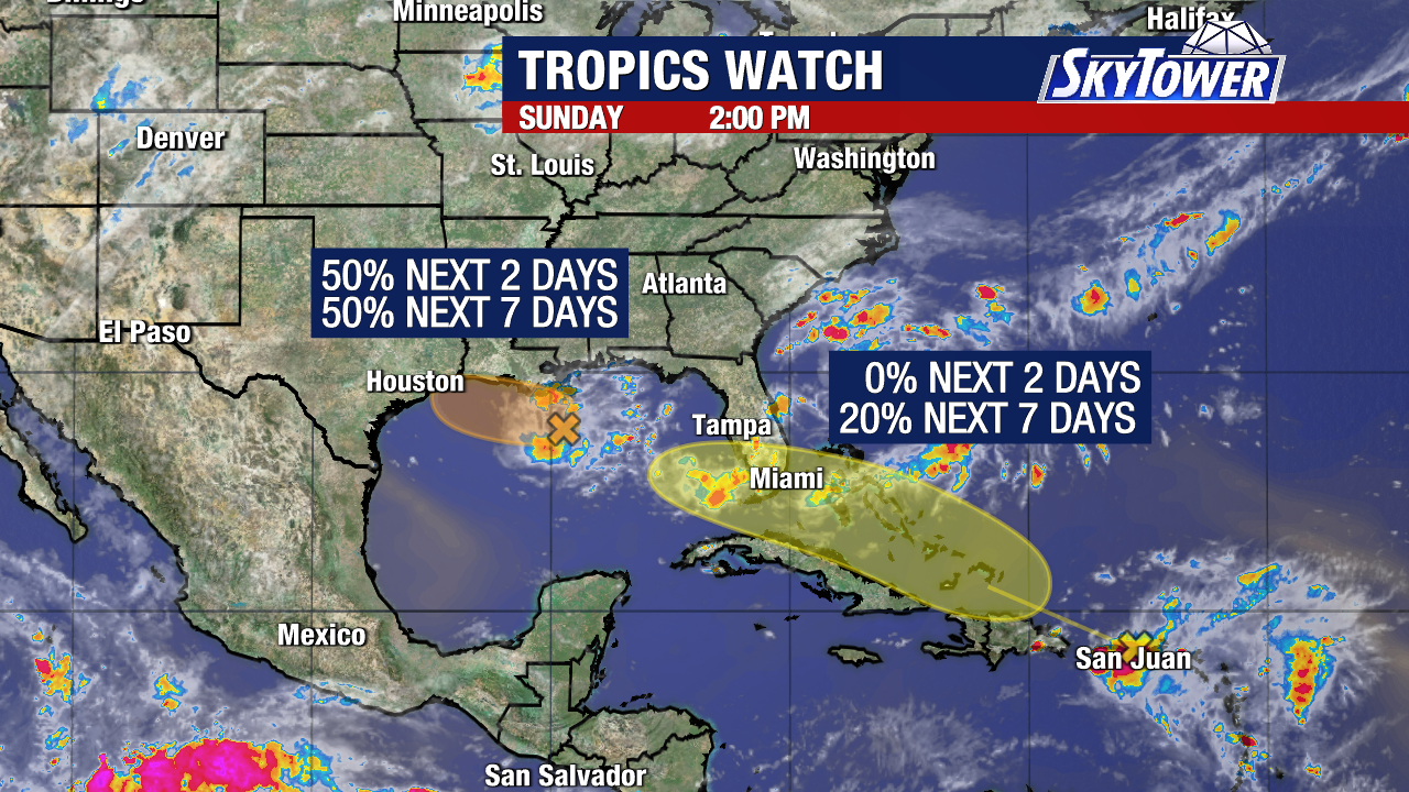
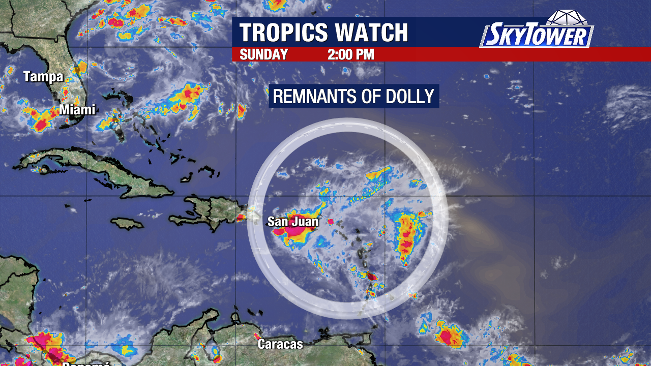
There are currently two areas being monitored by the National Hurricane Center for possible tropical development. One disturbance in the northern Gulf and the remnants of former Tropical Storm Dolly near Puerto Rico.
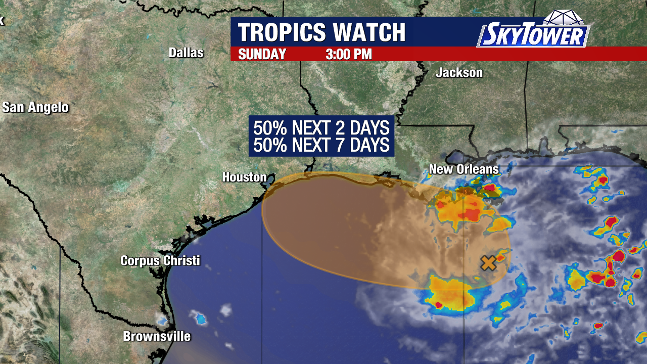
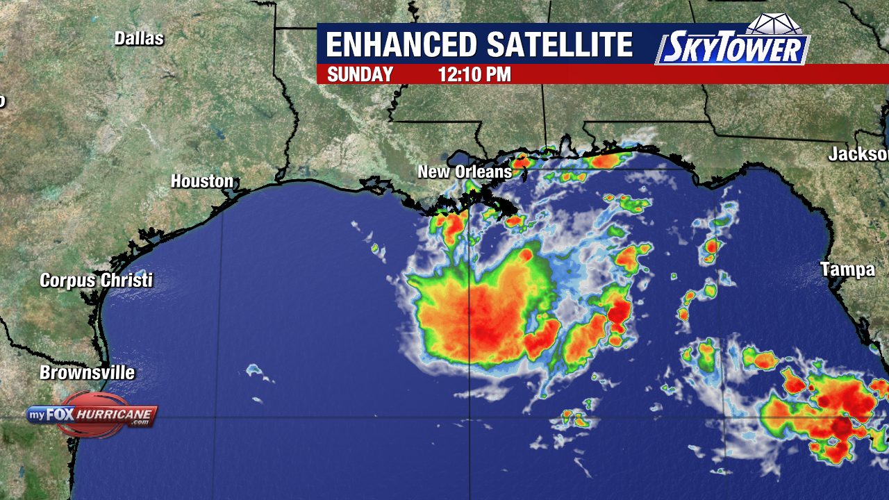
A broad area of low pressure in the northern Gulf, designated Invest 97L, has become better organized over the past day. The National Hurricane Center now gives it a 50% chance of developing into a tropical depression or tropical storm within the next 48 hours.
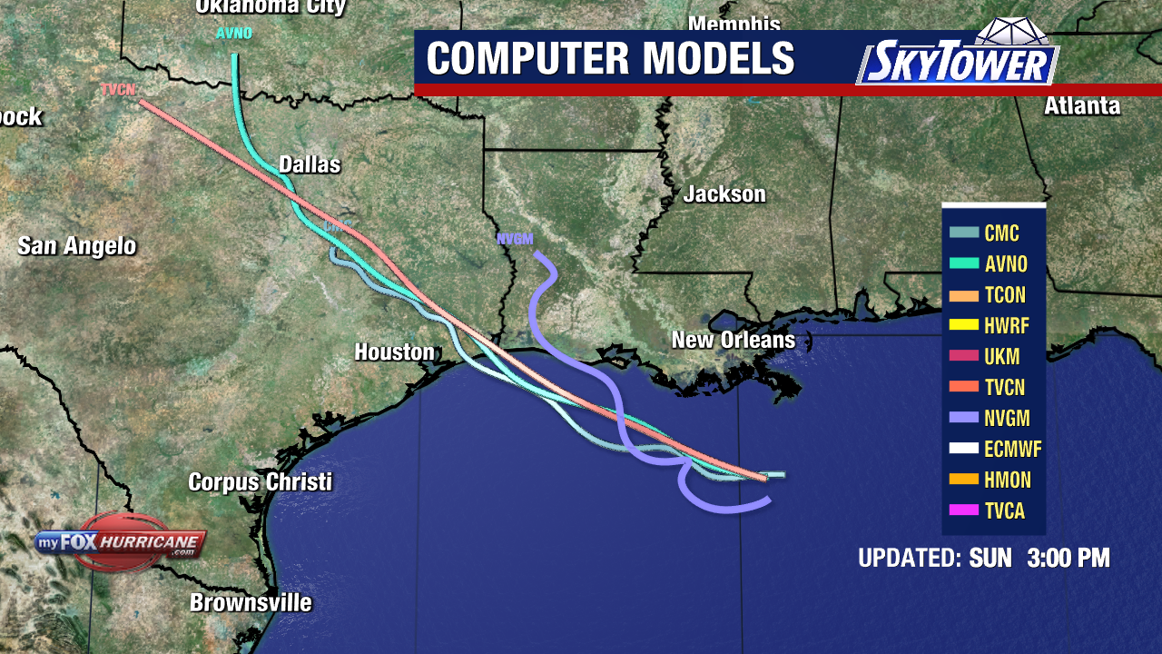
The disturbance is currently located about 125 miles south of southeastern Louisiana and is expected to drift west-northwest toward the Upper Texas or southwestern Louisiana coast.
A short-lived tropical depression or tropical storm could form before the system reaches the coast Tuesday or Tuesday night. Regardless of development, heavy rain will be the primary concern along portions of the northern Gulf Coast.
Meanwhile, the remnants of Tropical Storm Dolly are moving along the northeastern Caribbean. The strong tropical wave is producing showers and thunderstorms across the Leeward Islands, Virgin Islands and Puerto Rico, with locally heavy rain and gusty winds.
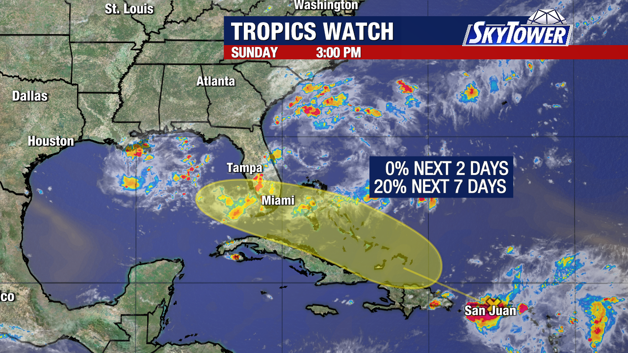
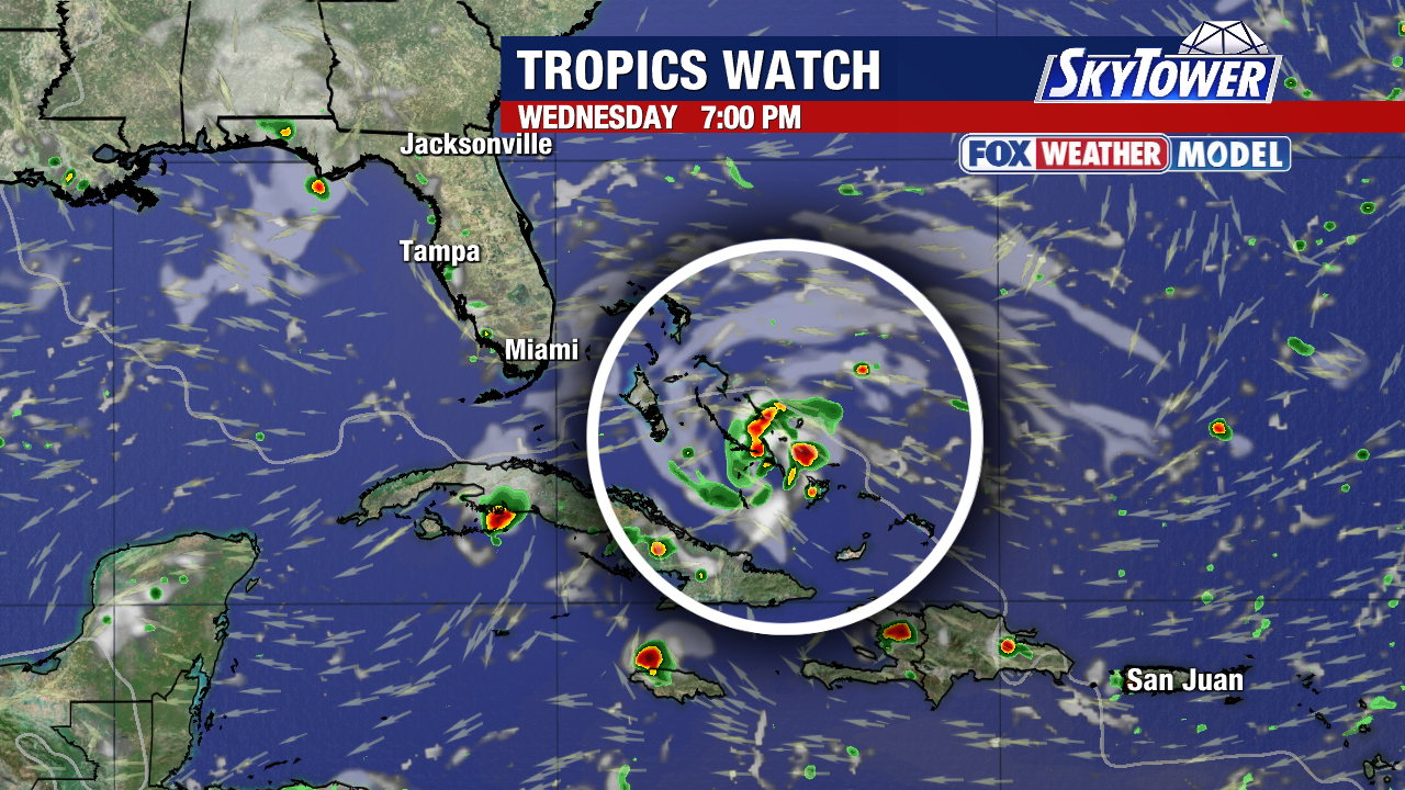
There are still no signs of a closed surface circulation, and NHC gives the system essentially no chance of redeveloping during the next 48 hours. However, the seven-day development chance has increased to 20%, and conditions may become more conducive for redevelopment by the middle of the week as the system reaches the southeastern Gulf.
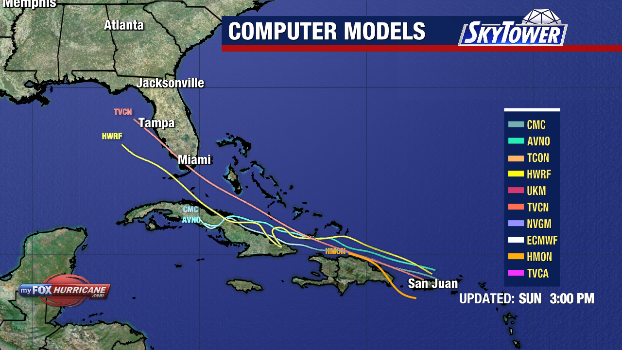
The system still has to cross Hispaniola and eastern Cuba, which could significantly disrupt the wave. If it survives that interaction, it may find an environment just favorable enough to reform.
Even if Dolly does not redevelop, the system will continue transporting deep tropical moisture westward. Thus, some weather models now support increasing rain chances across Florida later next week into next weekend. The amount of rain (and whether a tropical low develops) remains highly uncertain. For now, neither system poses an immediate tropical threat to Tampa Bay. We will continue to monitor both disturbances and update the forecast as their tracks and potential for development become clearer.
The next name on the 2026 Atlantic naming list is Edouard.