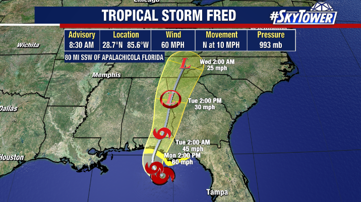
Despite Tropical Storm Fred continuing to battle wind shear, hurricane hunters are finding Fred is intensifying Monday morning. As of 8:30 am, maximum sustained winds were increased to 60 mph as Fred moves north at 10 mph.

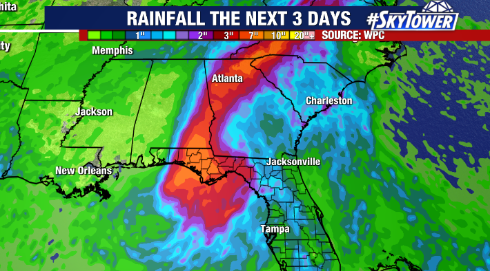
Fred is expected to make landfall along the Florida Panhandle between Destin and Panama City Monday evening where tropical storm warnings and storm surge warnings are in effect. In addition to tropical storm force winds, flooding will likely be an issue there. 4-8” of rain are possible along the Big Bend and Panhandle with isolated spots getting as much as 12”of rain. A storm surge of 3-5 feet is also forecast as well as a risk of severe weather on the east side of the storm. Locally, higher than normal swells and an elevated risk for rip currents exists along area beaches today, especially towards the Nature Coast.

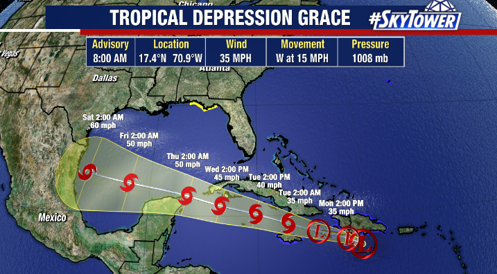
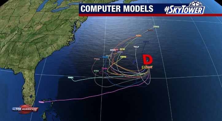
In addition to Fred, we’re also monitoring Tropical Depression Grace in the Caribbean as well as Tropical Depression Eight about 120 miles ESE of Bermuda in the Atlantic.


Eight is expected to strengthen to Tropical Storm Henri in the days ahead but should stay away from the United States.
