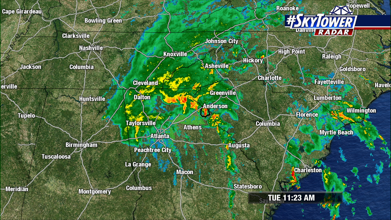
Tropical Storm Fred made landfall across the Florida panhandle on Monday. As it moved onshore the heavy rainfalls spread into Georgia. It has since weakened into a depression, but the rains will continue to spread north into the Appalachian mountains.
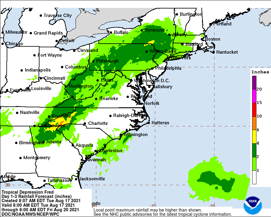
Rainfall estimates through Friday show 4-8 inches of rain in northeast Georgia and into the mountains of North Carolina. Lesser amounts into the northeast, but 2-4 inches of rain over a widespread area are possible with the remains of Fred.
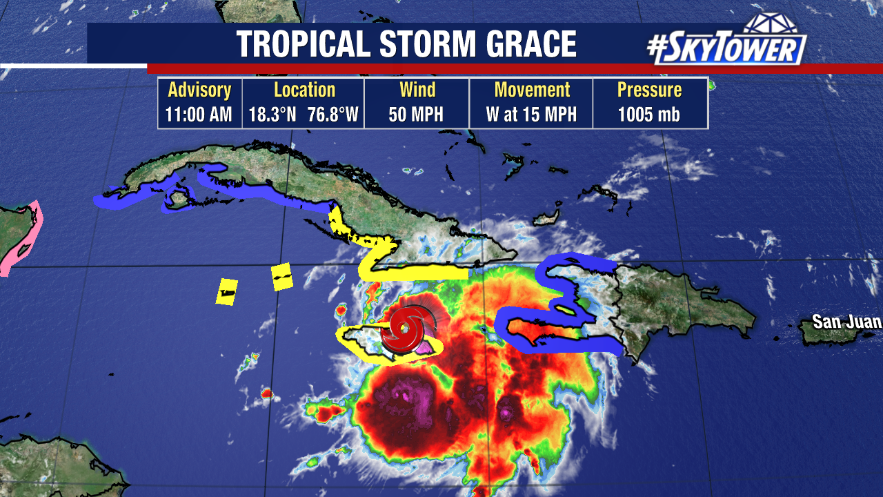
Tropical Storm Grace has been showing better organization but has still been plagued by wind shear and interaction with land. In the short term, Grace will likely not strengthen but as it moves into the western Caribbean into open water and less wind shear it will begin to strengthen. Grace will likely become a hurricane before moving over the Yucatan as it continues westward. A building ridge to the north will keep Grace from turning north and affecting the United States.
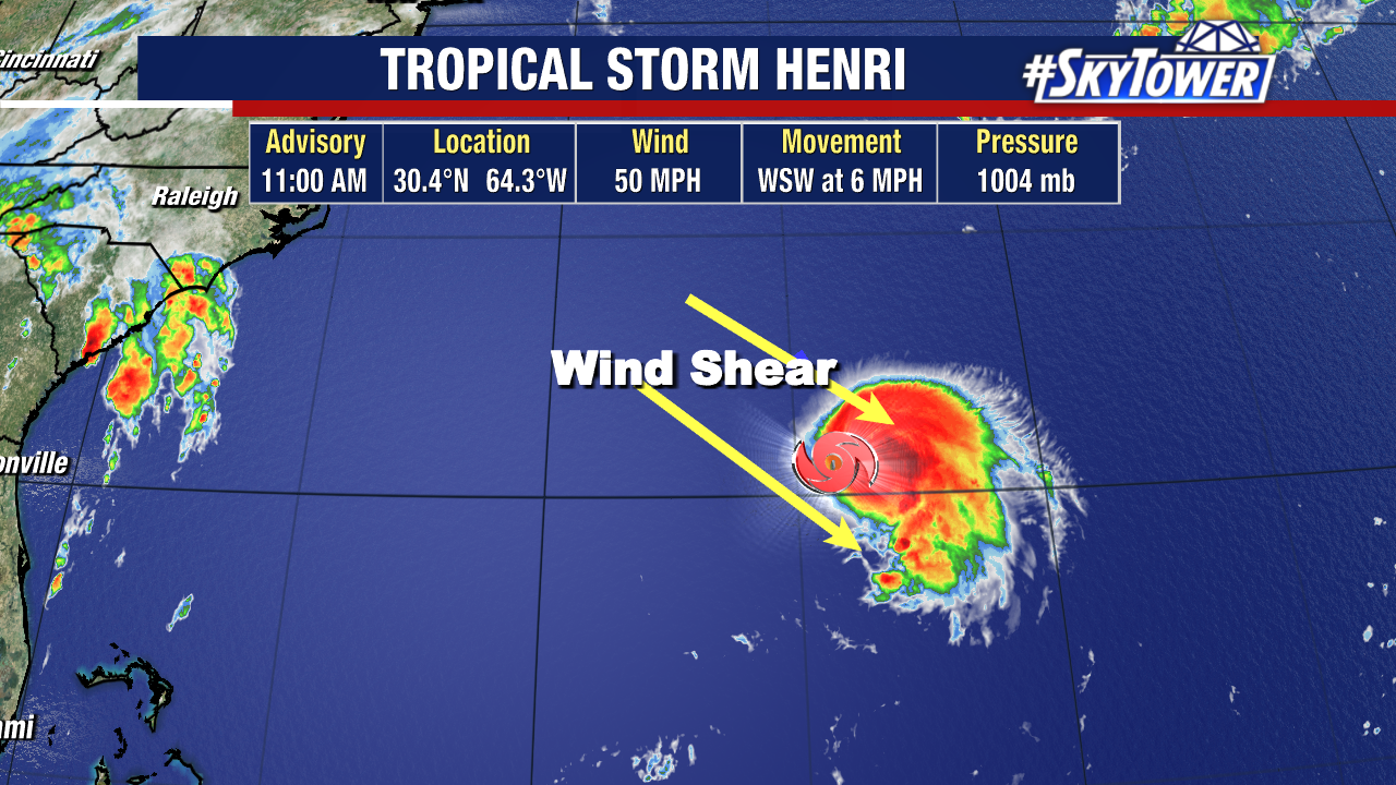
Tropical Storm Henri also continues to deal with strong wind shear from the Northwest. This is pushing all the convection to the east of the center. This windshear will lessen over the next 24 hours which should allow for some strengthening. The eventual track of Henri should keep it from affecting any land areas directly.
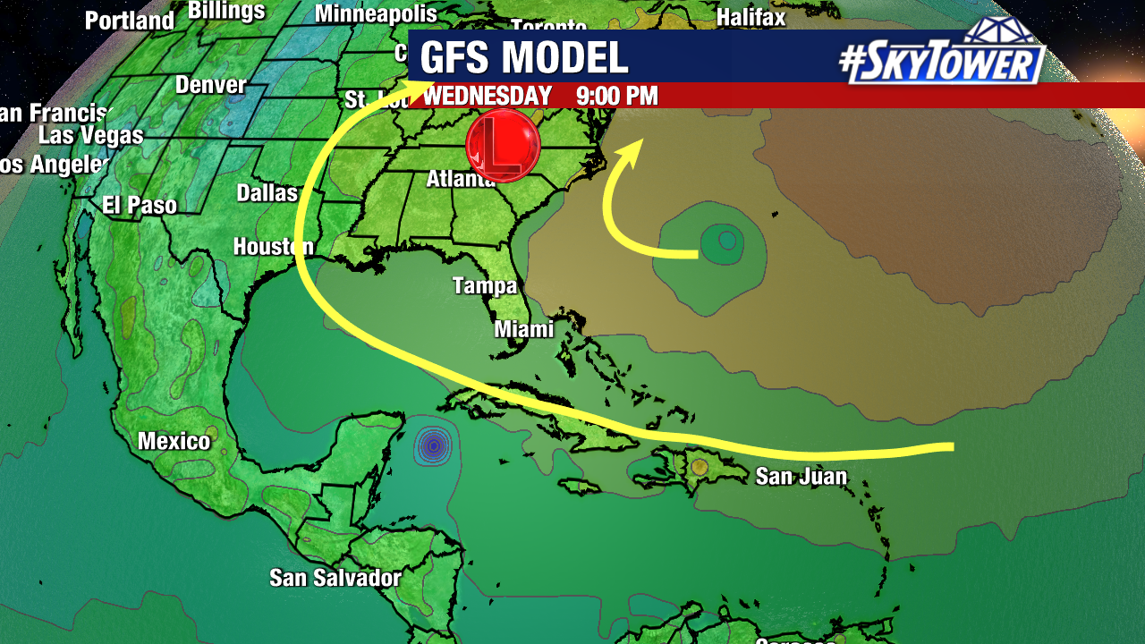
The GFS model illustrates the ridge building westward over the U.S. keeping Grace on a westward track. A trough embedded in the ridge to the west of Henri will eventually cause this storm to do a U turn and head out over the open waters of the Atlantic.