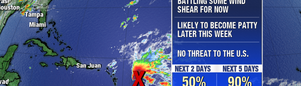
Even though we are nearing the end of hurricane season, we are still closely monitoring the tropics. One tropical wave has managed to hold together and even become better organized over the past couple of days, despite strong wind shear. It is now 200 miles east of the Leeward Islands and is producing a large area of showers and storms in the western tropical Atlantic.
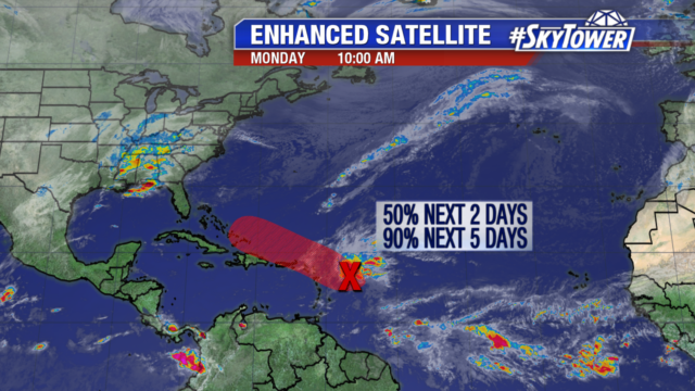
It has been battling wind shear but conditions for development are expected to improve as it moves west northwest. We will likely see this system become a Tropical Depression or Tropical Storm Patty over the next day or so.
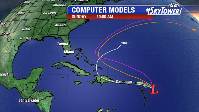
Models are taking the system near or just north of the Leeward Islands, Puerto Rico, Hispaniola, and the southeastern Bahamas. These areas should closely monitor the development of this system. You will notice the models turn the system to the east northeast before it nears the East coast. That is due to a trough coming off the coast, which will steer it away from the United States.