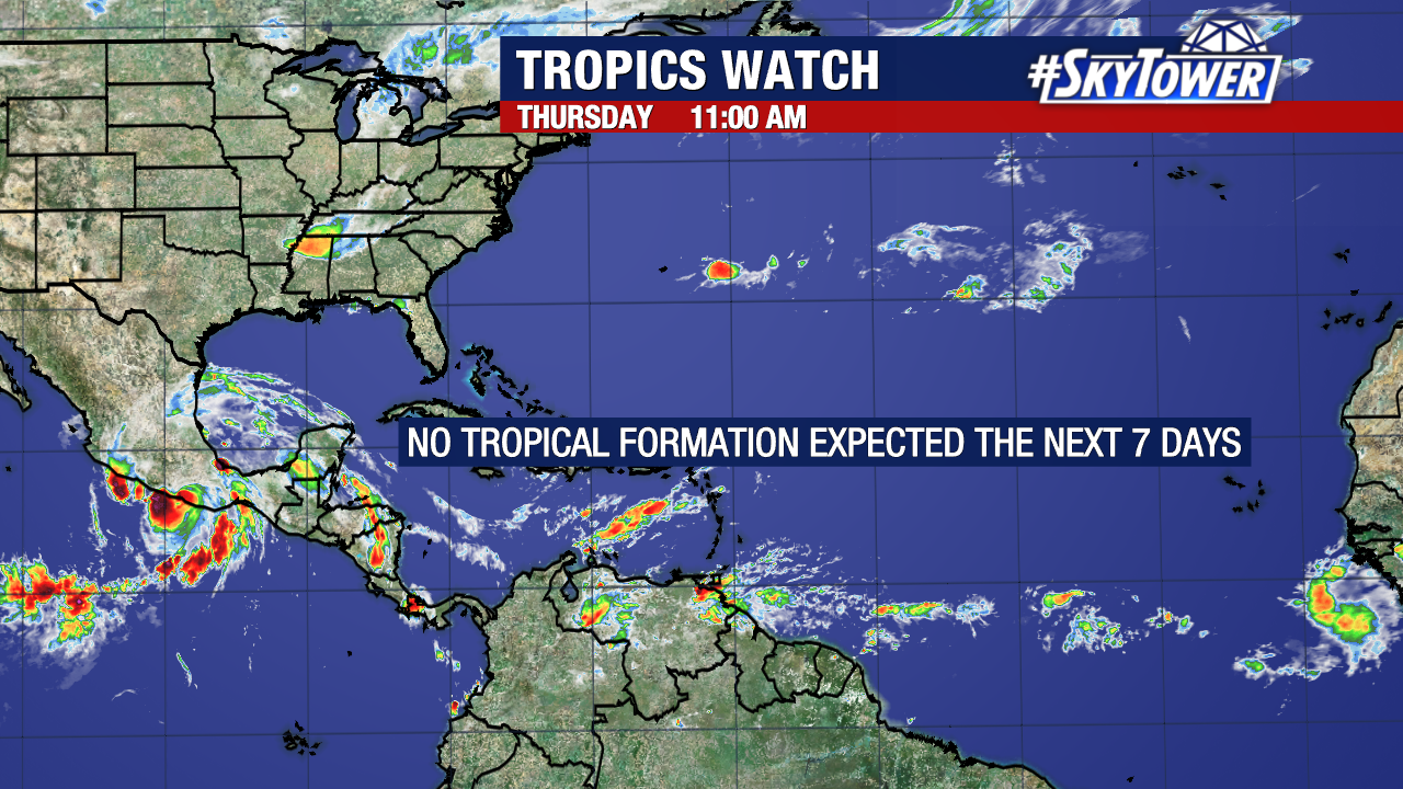
We are keeping tabs on a cluster of showers and storms in the Central Atlantic that show some signs of organization in association with an area of low pressure.
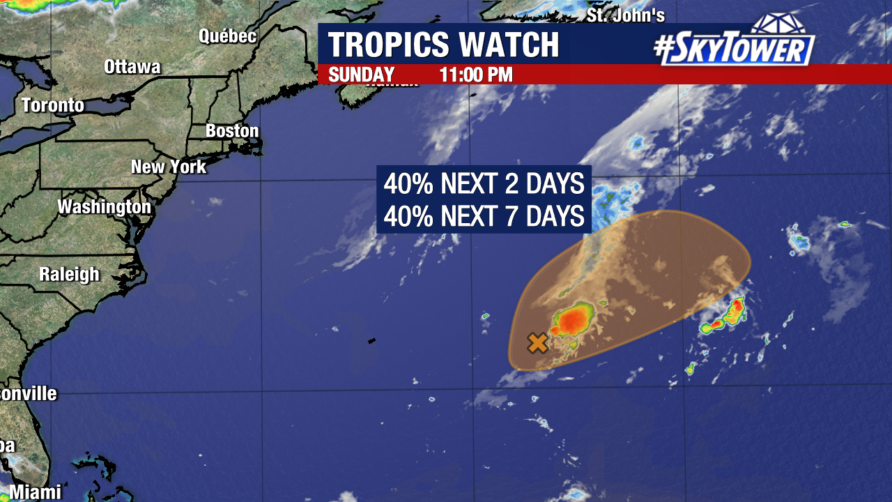
For now, the National Hurricane Center is giving this disturbance (Invest 90L) a medium 40% chance of development.
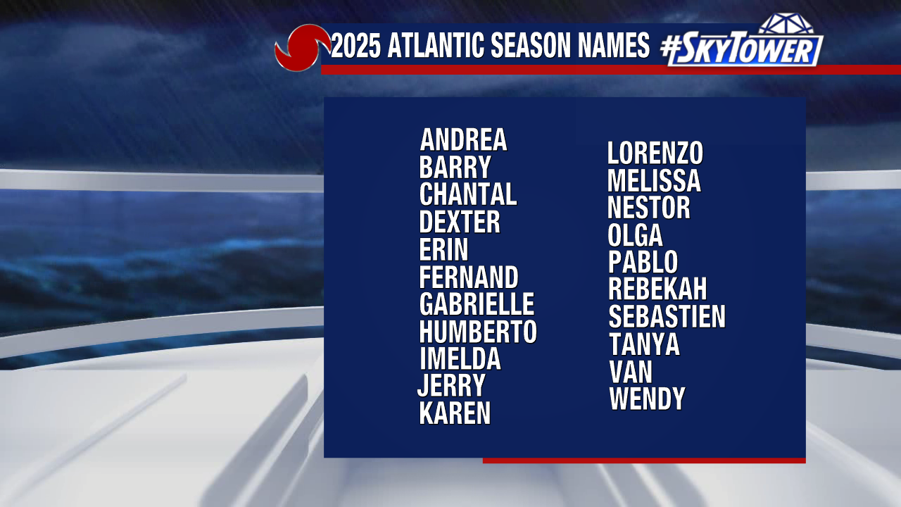
If Invest 90L were to become a named storm, it would take the name “Andrea.”
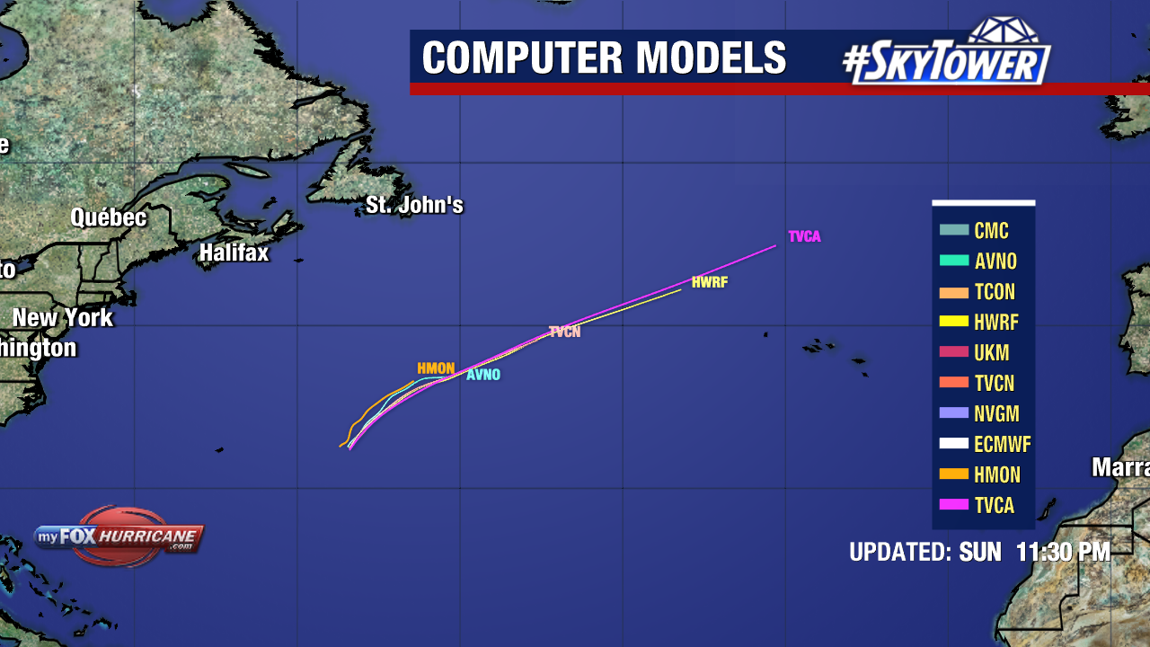
The system will likely encounter an unfavorable environment for development on Tuesday, making the next 24 hours its best window to organize. This not a threat to the United States and will move east and likely remain at sea if it develops.