

A tropical depression or storm is likely to develop in the Bay of Campeche within the next 48 hours. This is not a threat to Florida.The National Hurricane Center now gives Invest 91L a high (70%) chance of formation.
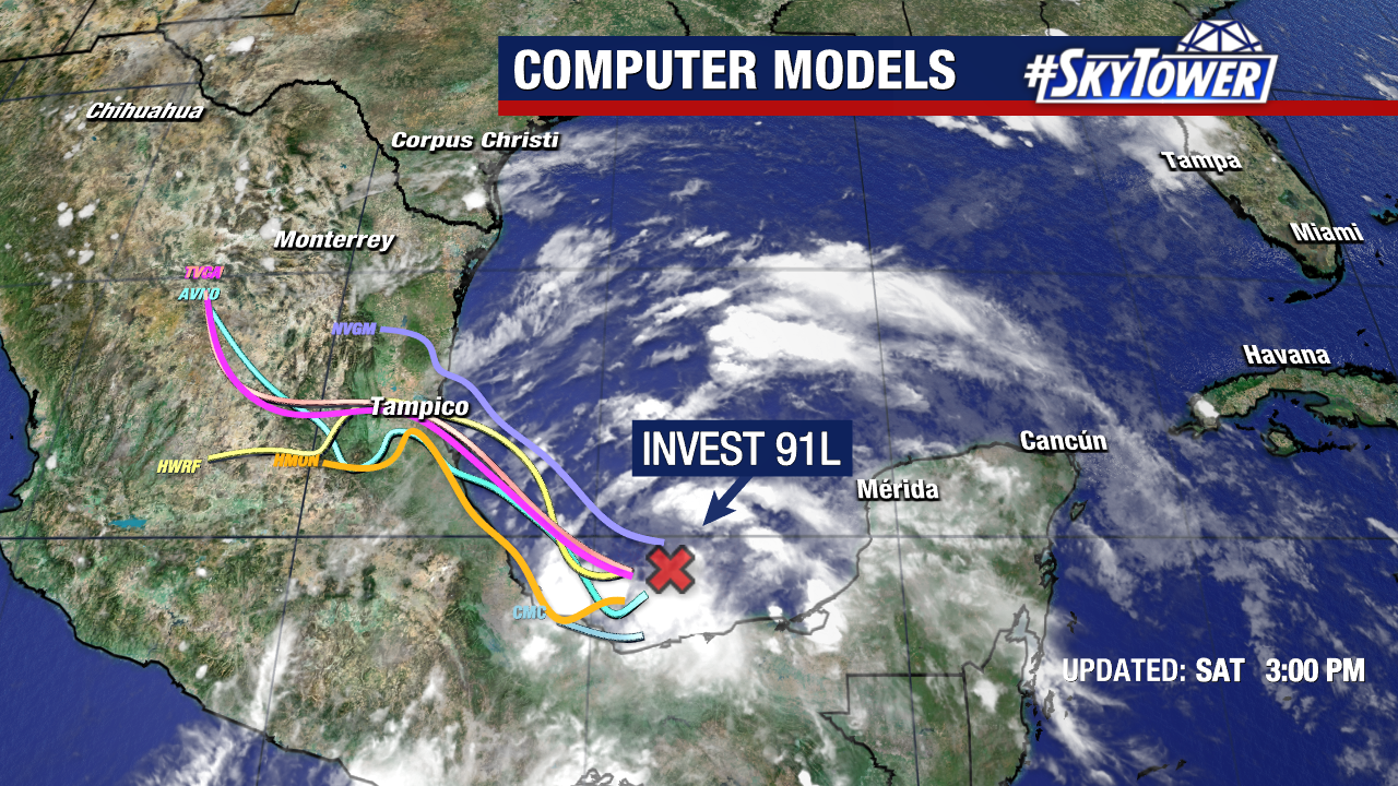
Models overwhelmingly favor a westward track into Mexico, keeping it well away from us.Tropical Storm Watches or Warnings may be needed for parts of the Mexican Gulf Coast later today.
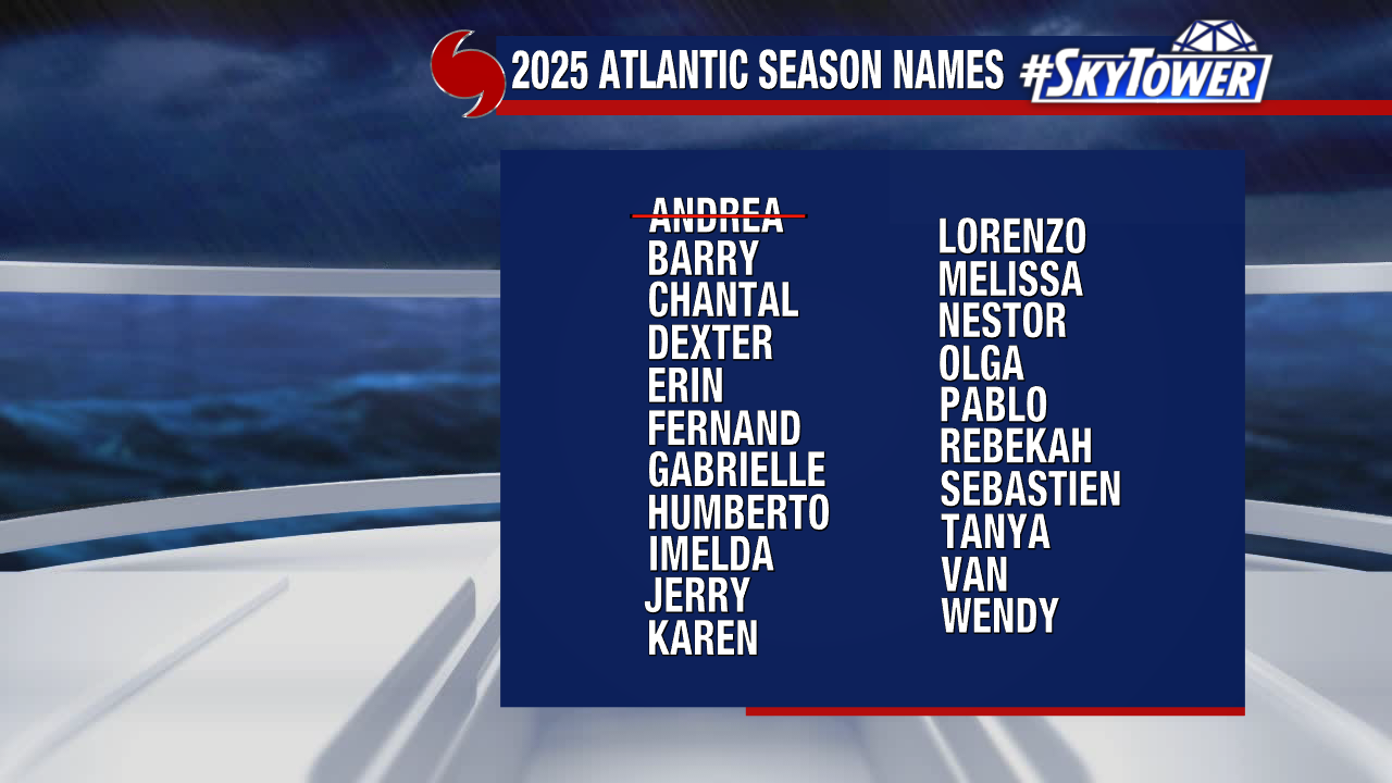
If the system becomes a tropical storm, “Barry” is the next name on our storm naming list.


