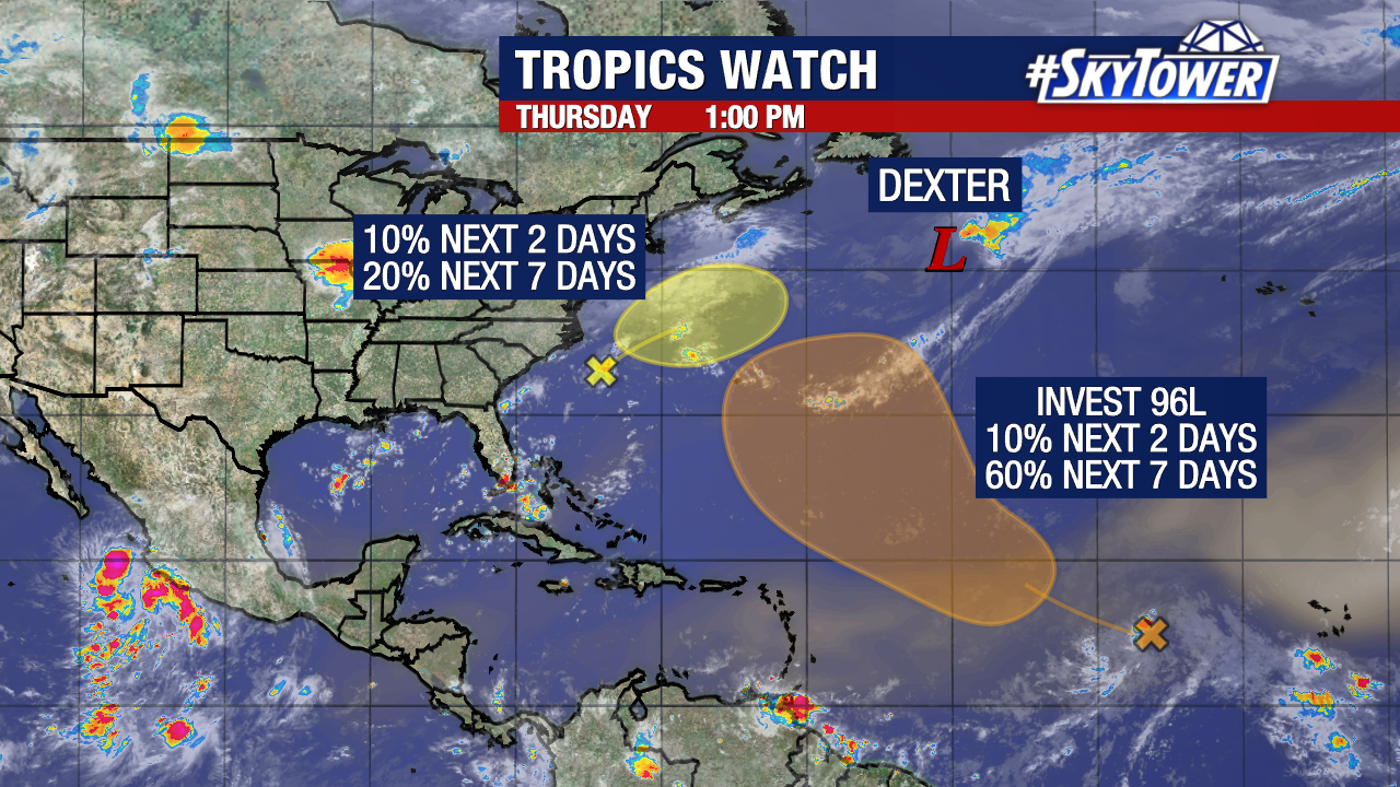
We are still monitoring two areas of possible development in the Atlantic, although neither look to bring any impacts to Florida. Odds of development have slightly decreased for each of them.
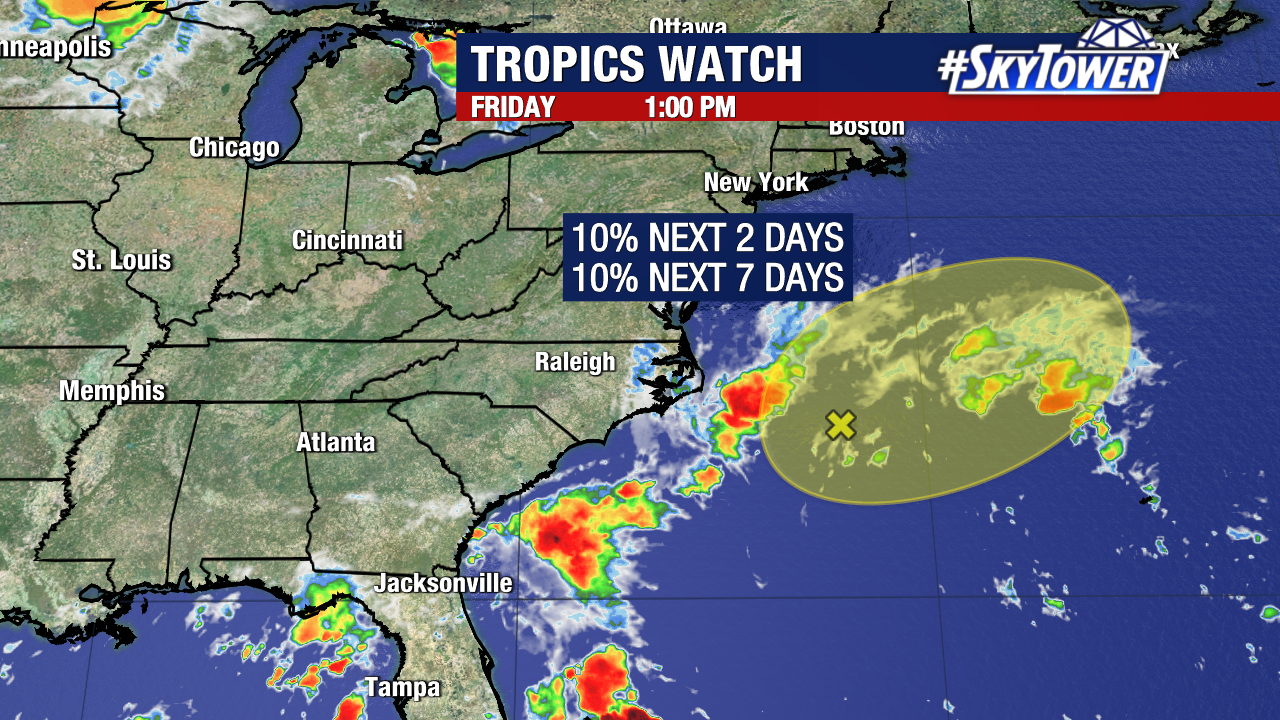
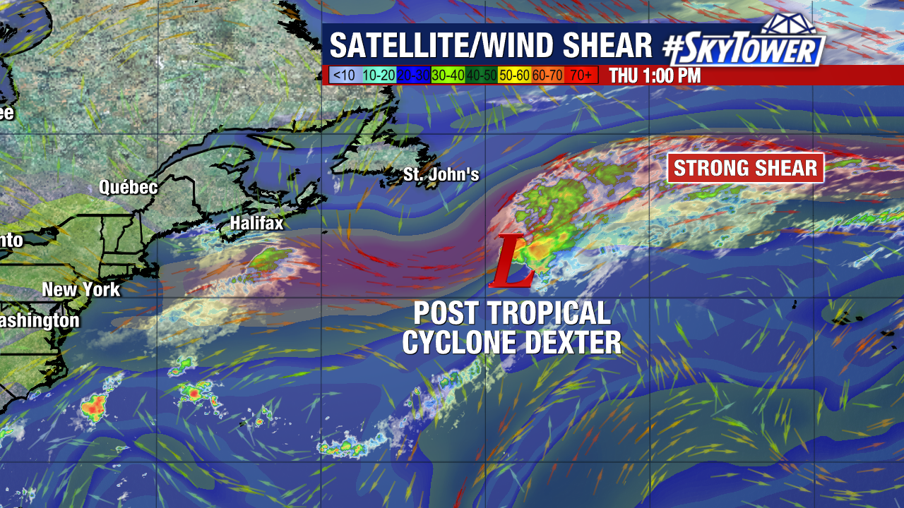
Off the east coast, a weak area of low pressure will have a small chance of developing into a named storm before merging with a front by the end of the weekend. This will be moving away from the US and weather model support for this occurring has gradually decreased over the past few days.
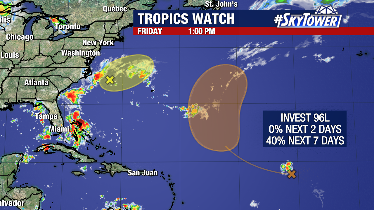
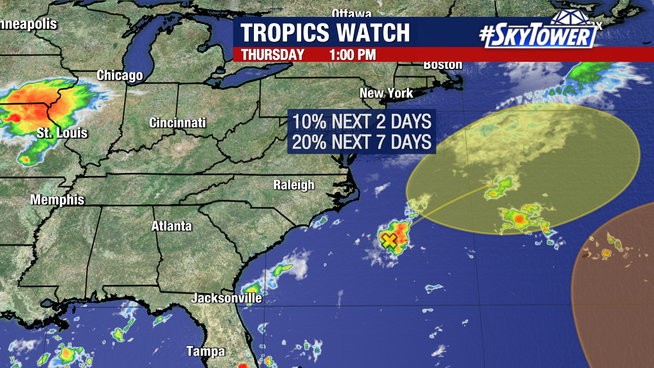
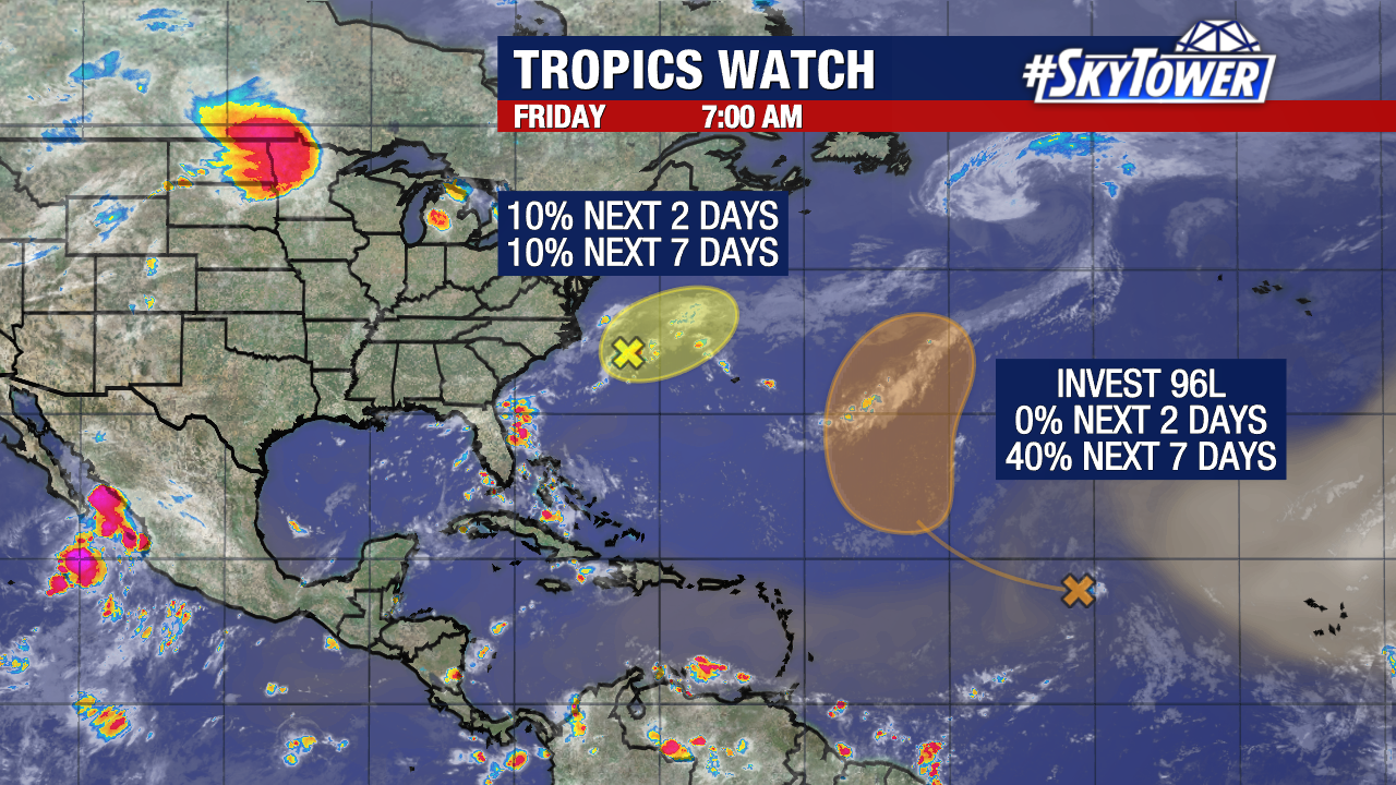
Invest 96L still has a medium (40%) chance of development within the next week.
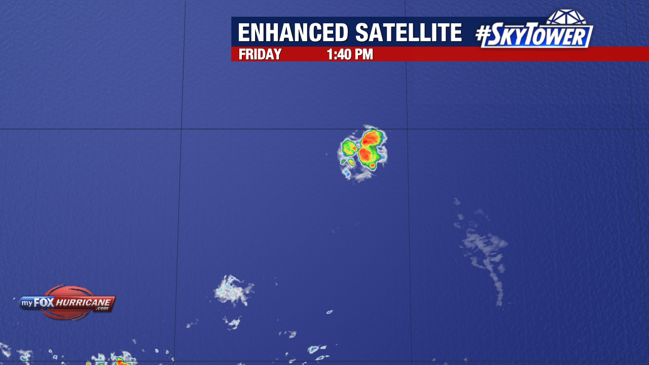
Dry air has created a hostile environment for it to organize in the short term. This is reflected in today’s satellite imagery of the tropical wave.
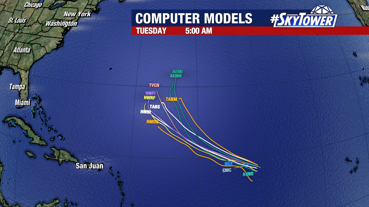
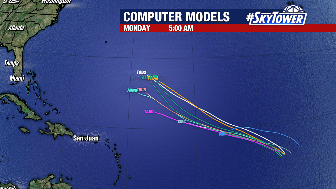
There is now high confidence that a weakness in high pressure to its north will help steer this system into the central or west Atlantic next week. That turn would likely keep it far of the coast of the United States.
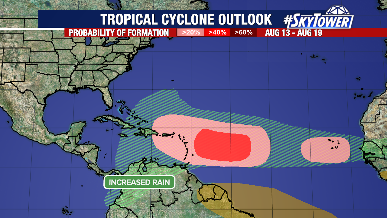
Next week, our attention will return to the Main Development Region of the Atlantic. Long range forecast models continue to indicate that several more tropical waves will be entering into this region in the middle of August. Nothing pertaining to these waves has been outline by the National Hurricane Center at this time.