Tropics getting active with Harvey and Invest 92L

As we head towards the peak of the hurricane season (Sept 10th) we normally start to see more activity in the tropics. This year is no exception to that. Tropical Storm Harvey formed on Thursday and we will be closely watching Invest 92L over the weekend for more development. As of 11am NHC placed a  70% chance of development on Invest 92L.

lynx

Tropical Storm Harvey has been struggling with wind shear as it moves into the Caribbean. This has kept the center of circulation along the far eastern side of the storm and the upper level center has been noted by the Hurricane Hunter to be displaced to the SW due to wind shear. This makes for a poorly organized storm which will continue to struggle. Despite that the official forecast from the Hurricane Center shows slow strengthening over the weekend and winds increasing to a strong tropical storm next week as it moves over Central America.

harvey

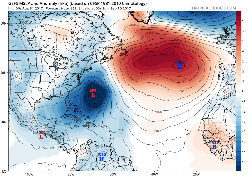
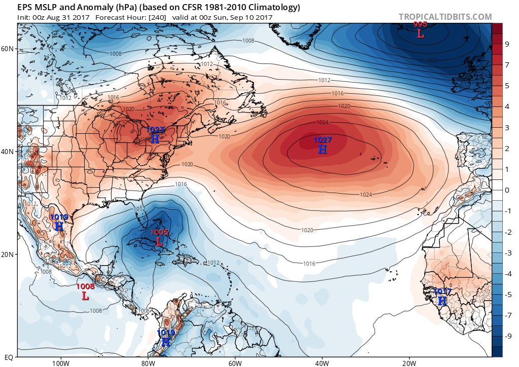
At the same time Invest 92L is moving toward the WNW now and will track just to the north of the Caribbean. The majority of computer models move this over the Bahamas and near S. Florida by the middle of next week.

invest-90l-modelsWhile this possible track by the various computer models may look troublesome, it also should be noted that some of the most reliable computers models (GFS and the ECMWF) do not show significant development with this area. In fact, the GFS shows this as an open tropical wave of moisture moving over the state next week. That will be the key to this system as we move into next week is just how much development we end up seeing with Invest 92L.

lynx2

Hurricane Gert Headed Out to Sea; Watching Three Other Areas in the Atlantic

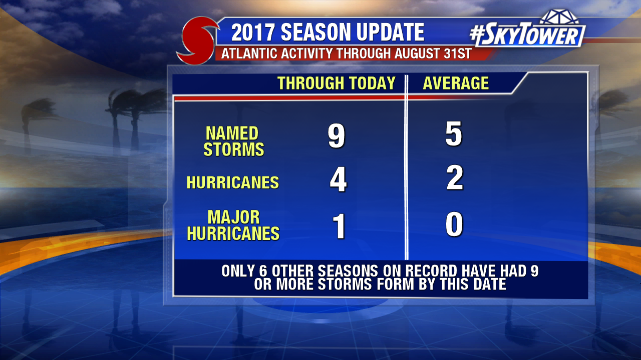
Hurricane Gert has maintained category 1 hurricane strength for 24 hours as of 5 PM Tuesday. The second hurricane of the 2017 Atlantic season formed about two weeks ahead of schedule. Climatologically, the second hurricane of the Atlantic season forms on August 28th. Gert strengthens some Tuesday afternoon. As of 5pm max sustained winds top out at 80 mph and pressure is down to 981 mph. Enhanced satellite imagery shows the hurricane is elongated some from north to south due to moderate north/northwesterly shear. Visible satellite imagery showed hints of an eye Tuesday afternoon. Gert passes between the U.S. and Bermuda Wednesday as a stronger category 1 hurricane. It will transition to post tropical system over cooler north Atlantic waters by Friday.

lynx-png3434

While Gert passes safely east of the eastern U.S., surf builds northward through mid-week. The risk for rip currents increases at Mid Atlantic and Northeast U.S. beaches.

gert-waves

Behind Gert are three areas of interest in the Atlantic. The African wave train is in full swing and there are a few areas to watch through next week. As of Tuesday afternoon there is a medium chance Invest 91L and Invest 92L develop over the next 5 days. Another tropical wave near Africa has a low chance of developing over the next 5 days.

atlantic-wide-2d-ir-enhanced

The odds of tropical depression development have dropped some for Invest 91L.  Computer models have back off some on development as there is some dry Saharan air nearby. The graphic below is courtesy NOAA/The University of Wisconsin. The 12Z European model suggests a weak tropical storm may approach the Lesser Antilles by Friday. The model shows the system weakening further as it moves westward through the Caribbean. The latest GFS shows a weak tropical storm will also form Wednesday or Thursday before it approaches the eastern Caribbean. This run is much further south than previous runs with a path through the Caribbean too. Model consensus is pretty good that Invest 91L will headed due west into the Caribbean.

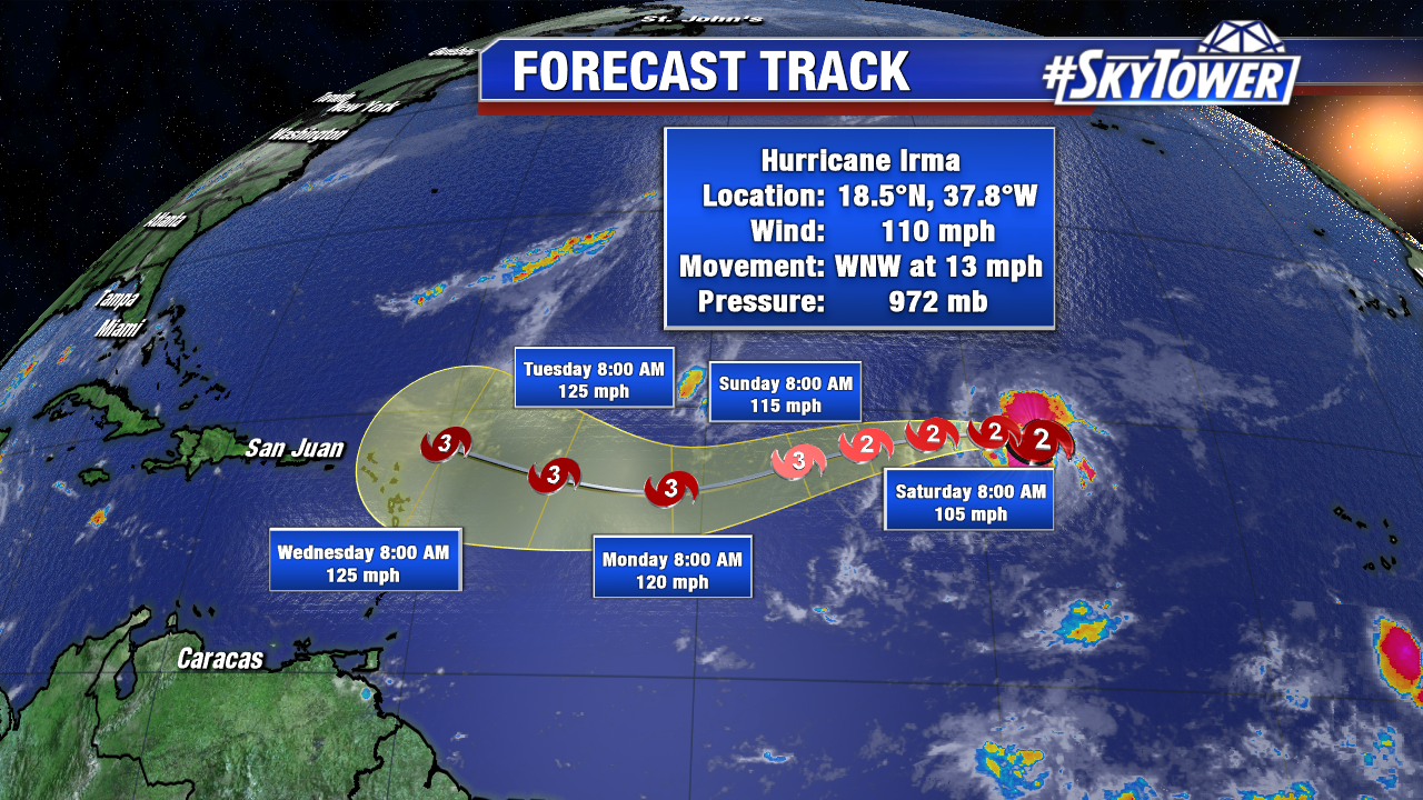
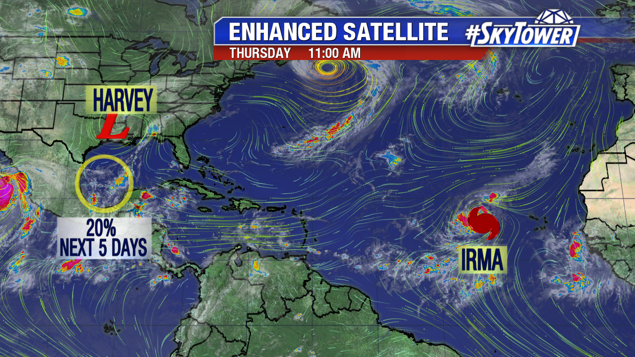
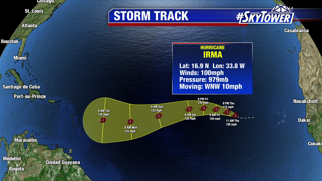
Meanwhile confidence increases some that newly pinned Invest 92L will develop into a named storm. 12Z models take this disturbance more northwesterly. Some as a possible strengthening hurricane. As of now, this path is east of the U.S.. Stay tuned. The next named storms are Harvey, Irma and Jose.

splite

invest-90l-models-png3434