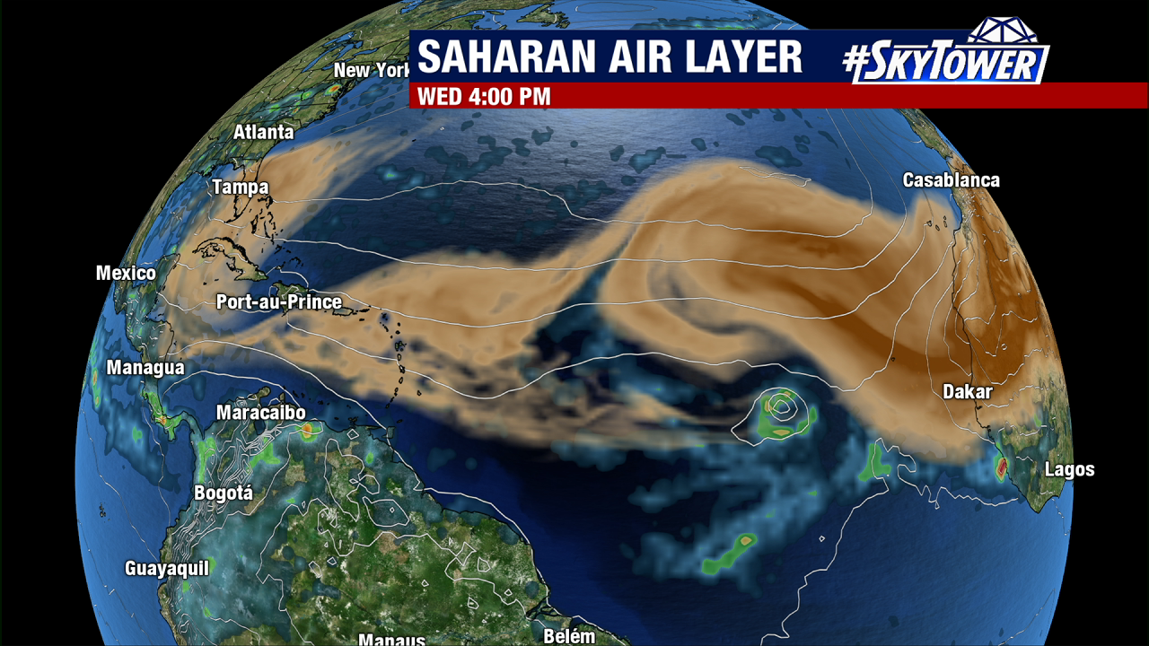
Activity has gradually begin to pick up across the Atlantic basin in the last week. Back on Sunday, we mentioned a tropical wave coming off the coast of Africa that had a medium chance for some weak development. However, the large amounts of dry air and Saharan dust across the Central Atlantic have simply proved to be too prohibitive.
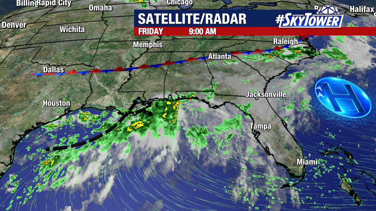
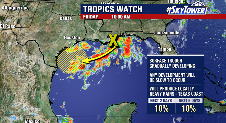
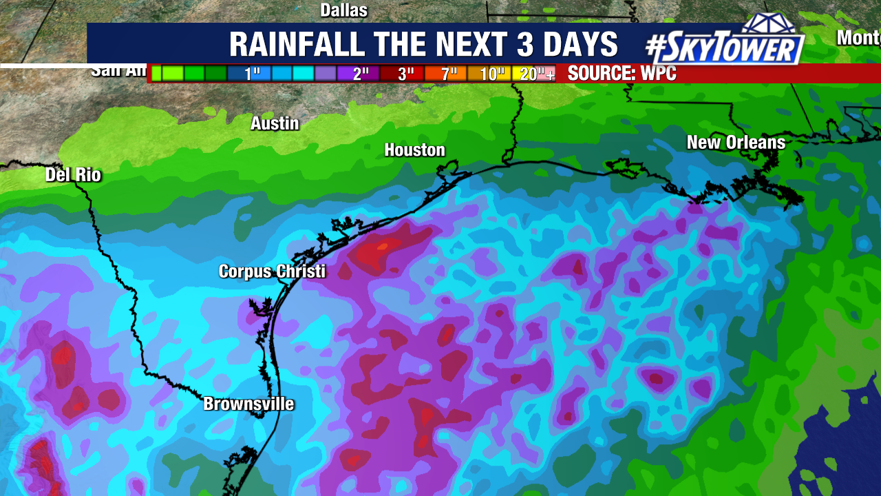
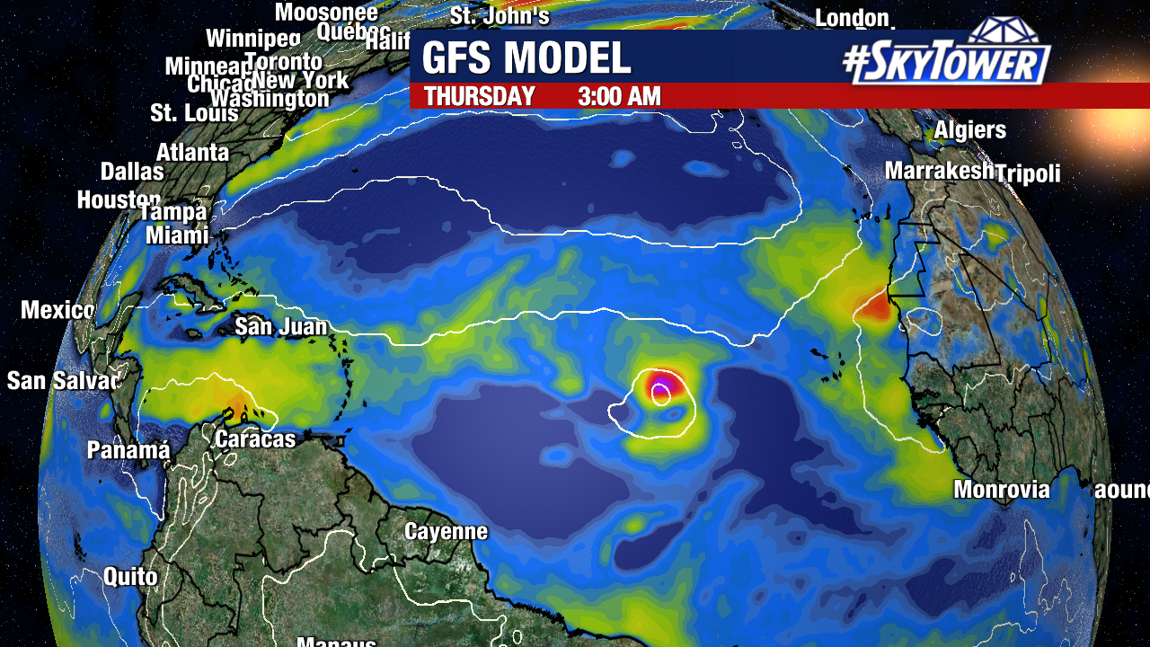
There is a new area of interest in the Gulf that has popped up in the last day or so, as a trough of low pressure has developed just offshore of SE Louisiana. Any organization of this will be slow to occur as this moves southwest, and the National Hurricane Center is currently only giving this a 10% chance of development. Regardless, locally heavy rain will be possible along parts of the Texas Coast through the weekend.