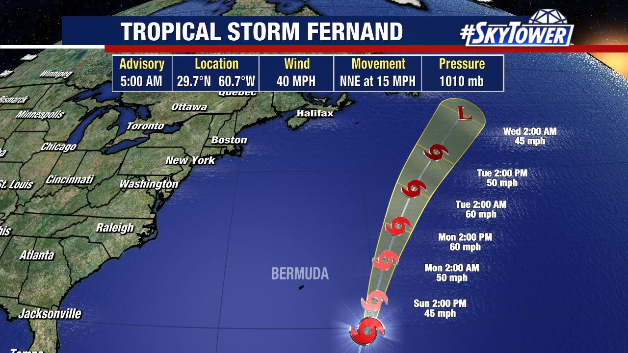
Tropical Storm Fernand is about 500 miles SE of Bermuda with 40 mph sustained winds.
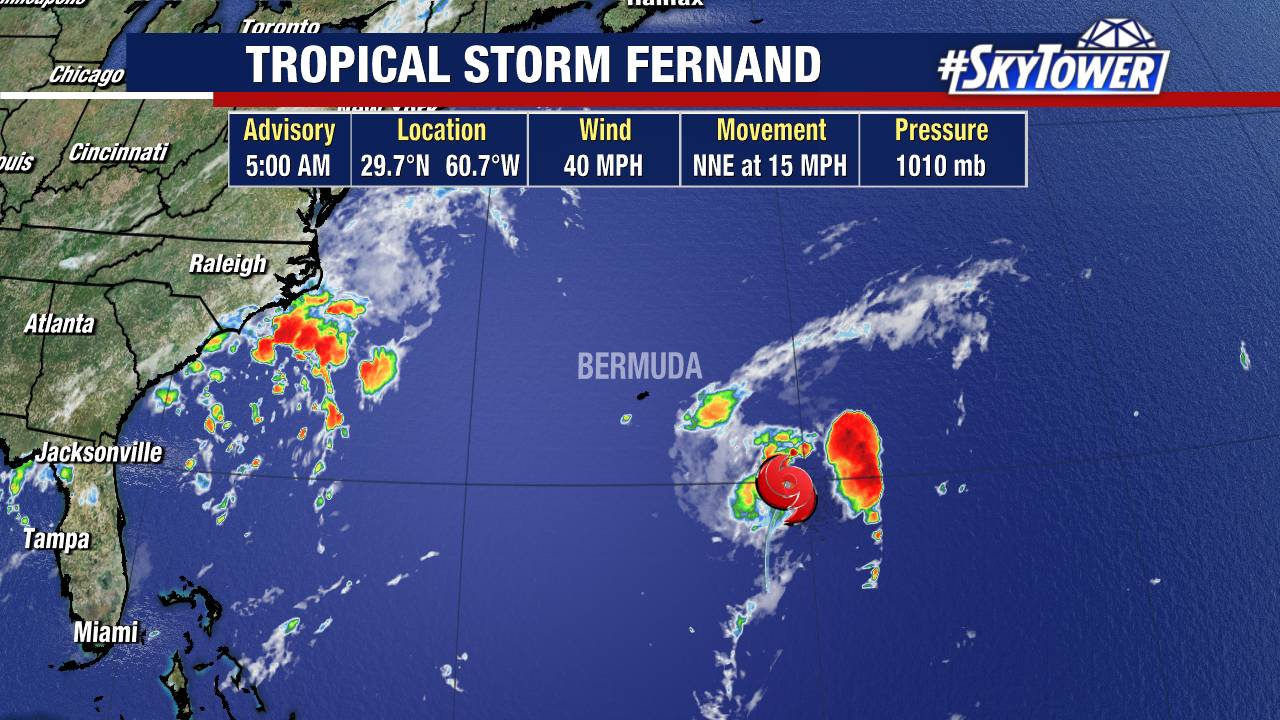
This storm will not make any impact to land as it stays out in the Atlantic, moving north-northeast at 15 mph.
Some additional strengthening is possible through Tuesday but Fernand is expected to stay a tropical storm as it passes well east of Bermuda.
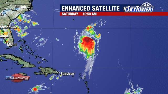
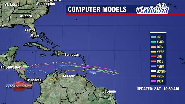
There’s another area we’re watching for development that’s currently about 200 miles east of the Windward Islands.
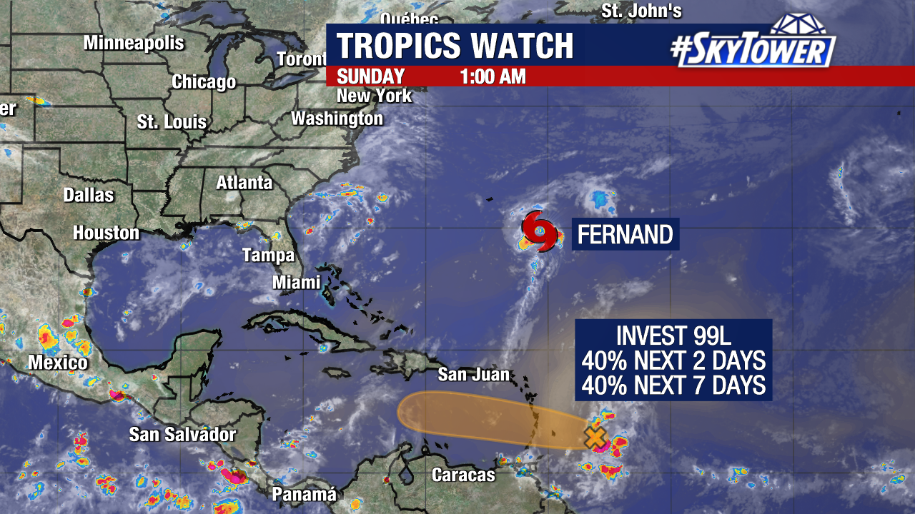
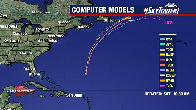
Invest 99L has a medium chance for development in the coming days as the area quickly moves west into the Caribbean.
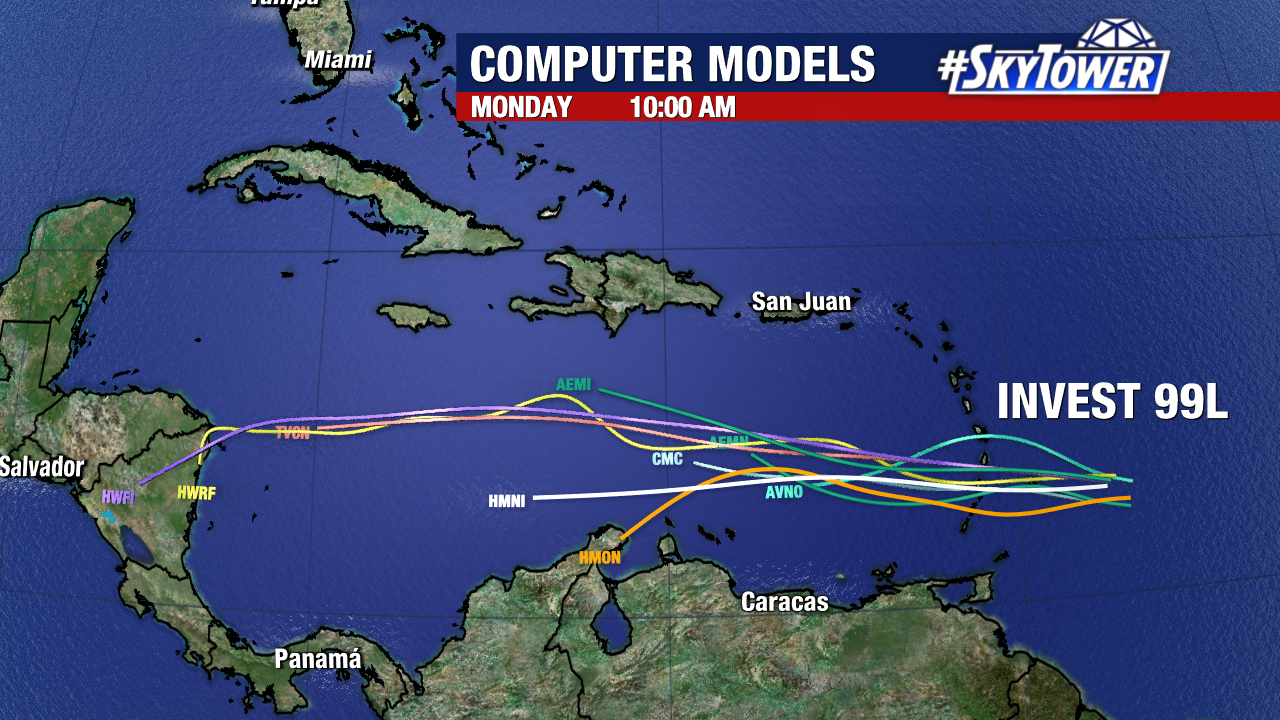
Gusty winds and heavy rain will move across the Windward and Leeward Islands today into Monday.
Hurricane Hunters may fly into Invest 99L later today if the system looks more organized.