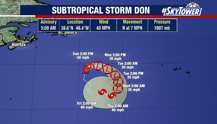
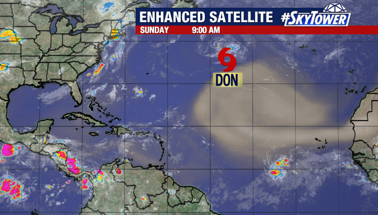
We’re closely watching the NW Caribbean this weekend where a system could organize and bring impacts to the Gulf coast next week.
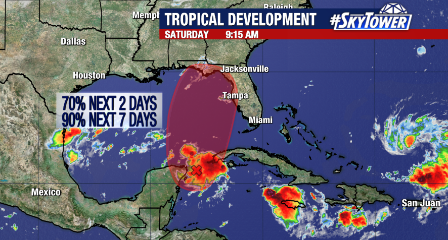
As of Saturday morning, Invest 93L remains a tropical disturbance showing signs of organization near the Yucatan Peninsula. However, development is likely once it moves into a more favorable environment in the Gulf of Mexico. The National Hurricane Center is giving it a 70% chance of formation over the next 2 days and 90% chance over the next 7 days.
Confidence is growing on at least some local impacts as most models are coming into more consistent agreement on a strengthening tropical system moving into the eastern Gulf early next week.
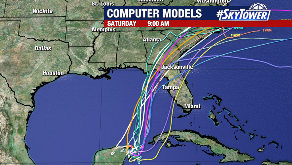
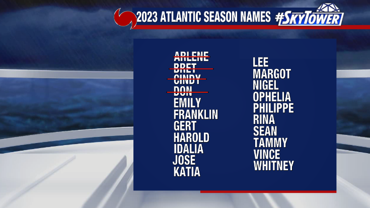
A tropical depression could form as early as Sunday. Then, warm waters in the Gulf are forecast to support some intensification. We’ll have to monitor how the storm interacts with upper level wind shear, which could be a limiting factor. Right now, the system which would be named ‘Idalia’ is expected to become a tropical storm, but it could reach category 1 hurricane intensity before landfall somewhere along the Big Bend to the Florida Panhandle. The track forecast is not set in stone and will depend on a digging trough in the Southeast which will steer the system.
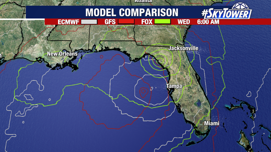
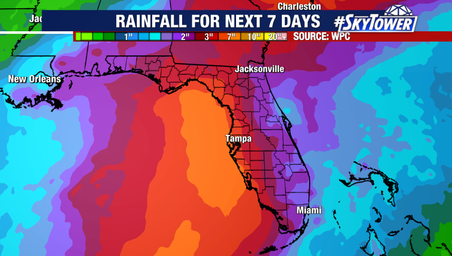
While it’s too early to discuss specifics as the storm hasn’t yet formed and we don’t have a center of circulation, local impacts are becoming more likely. Although the worst weather would be felt closest to the storm’s center, much needed rainfall, coastal flooding, gusty winds and some power outages are general possibilities on arrival. The forecast will come into better focus once a storm develops either late Sunday or Monday.
