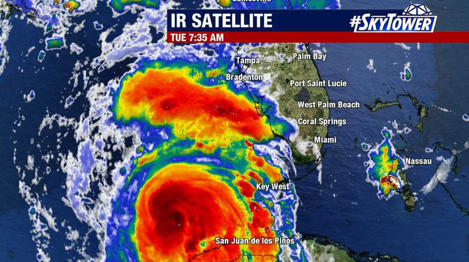
Idalia continues to become better organized and as of Tuesday morning, the National Hurricane Center says it has strengthened to a hurricane. Satellite imagery is showing a mostly developed eyewall.
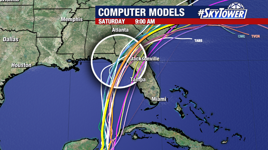
The storm, which did not move much over the last couple of days, is now accelerating northward at 14 mph and will continue to speed up on approach as it’s picked up by a diving trough. Idalia is still expected to rapidly intensify as it goes over very warm waters and into an area with less wind shear. A landfall is forecast as a category 3 hurricane along Florida’s Big Bend Wednesday morning.

There has been a slight westward shift in the track this morning, which keeps Tampa Bay and most of West Central Florida out of the cone and that includes the worst part of Idalia. However, with such a large storm, the impacts will be felt far from the center especially given we will be on the messier, east side of the storm.
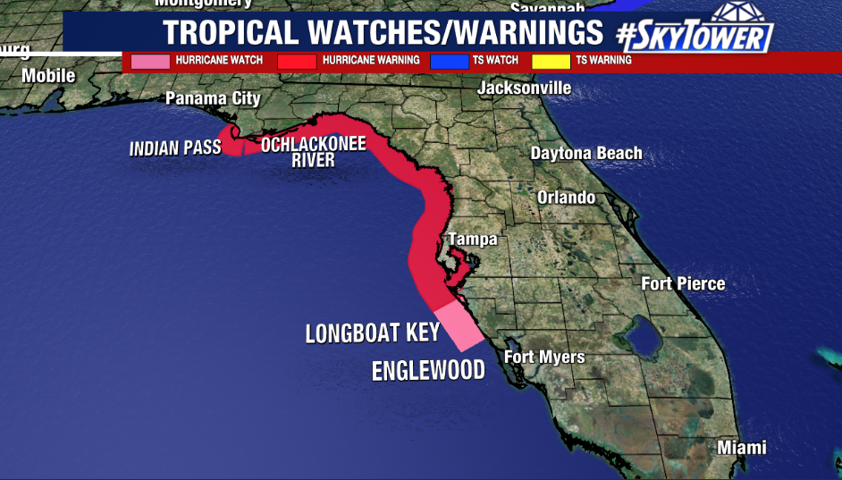
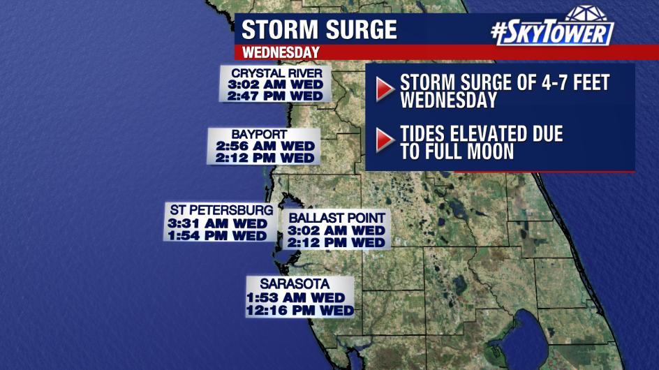
Hurricane Warnings remain in effect for most of the region, from the middle of Longboat Key northward to Indian Pass, including Tampa Bay. A Storm Surge Warning is in effect for Englewood northward to Indian Pass, including Tampa Bay. Storm surge will be the most serious threat with Idalia along the coast where 4-7 feet of water above normal tide can impact Tampa Bay. This number could be higher closer to where Idalia makes landfall – as high as 6-9 feet from Chassahowitzka, FL to Anclote River, FL and 8-12 feet from Aucilla River, FL to Chassahowitzka, FL, especially during times of high tide. The storm surge threat is the reason for any evacuation orders. Remember, water is the deadliest aspect of tropical systems.

In addition to storm surge, winds up to tropical storm forces are likely along the coast with a possibility of hurricane gusts. Winds will be less further inland. Strong winds could knock down trees, leading to power outages.

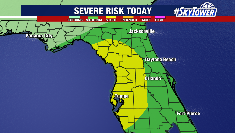
In general, rainfall totals could range from 4-8” with higher amounts along the coast. Outer bands from Idalia could also lead to brief spin up tornadoes. The Storm Prediction has highlighted the Bay area in a SLIGHT RISK (Level 2 out of 5) for the possibility of severe storms. The worst weather will be late Tuesday into early Wednesday with gradually improving weather Wednesday afternoon.
We will continue to track this storm on air and online. Be safe and stay tuned for the latest.


