We’re entering the active time of hurricane season. Now is when tropical wave after tropical wave starts rolling off the coast of Africa. We often have a long time to watch each disturbance before it comes anywhere close to the U.S. mainland. As we always say, it’s a marathon, not a sprint.
As of Thursday evening, Invest 96L was about 1100 miles east of the Lesser Antilles. The National Hurricane Center currently gives this a 20% chance of tropical development in the next 2 days, 70% in the next 5 days.
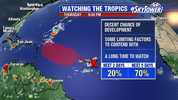
In the short term it’s going to be battling an area of dry air and Saharan dust to its north. If it can overcome this, there’s a decent chance we’ll have a tropical depression form over the weekend a few hundred miles east of the Caribbean Sea.
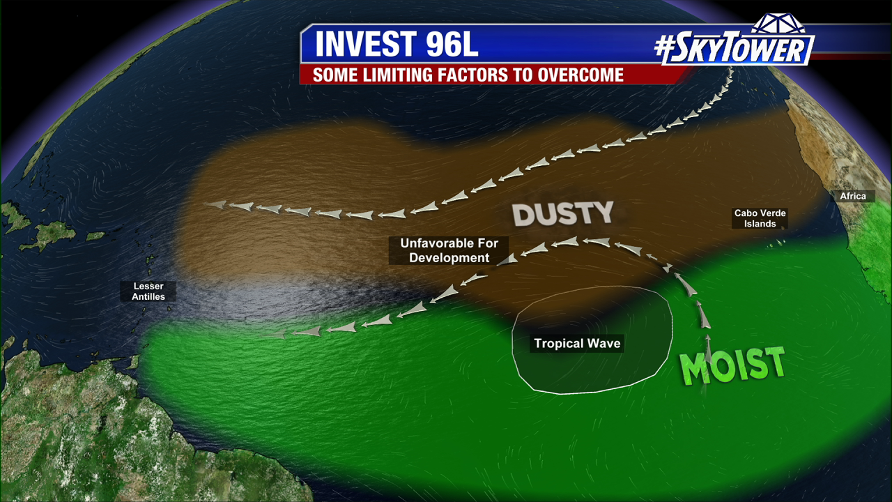
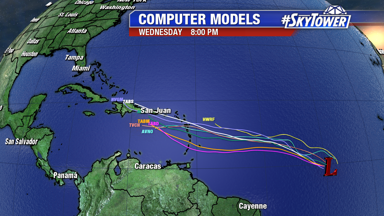
It’s far too early to say what happens beyond that, but it does appear that there will be several limiting factors (land interaction, pockets of higher wind shear, etc.) that this will have to overcome in order to be any threat to the U.S. Beyond 5-7 days, it’s tough to lend much credence to model output, but for what’s it’s worth, our longer term models are keeping this weak and steering it out into the North Atlantic later next week.
For now, we wait.