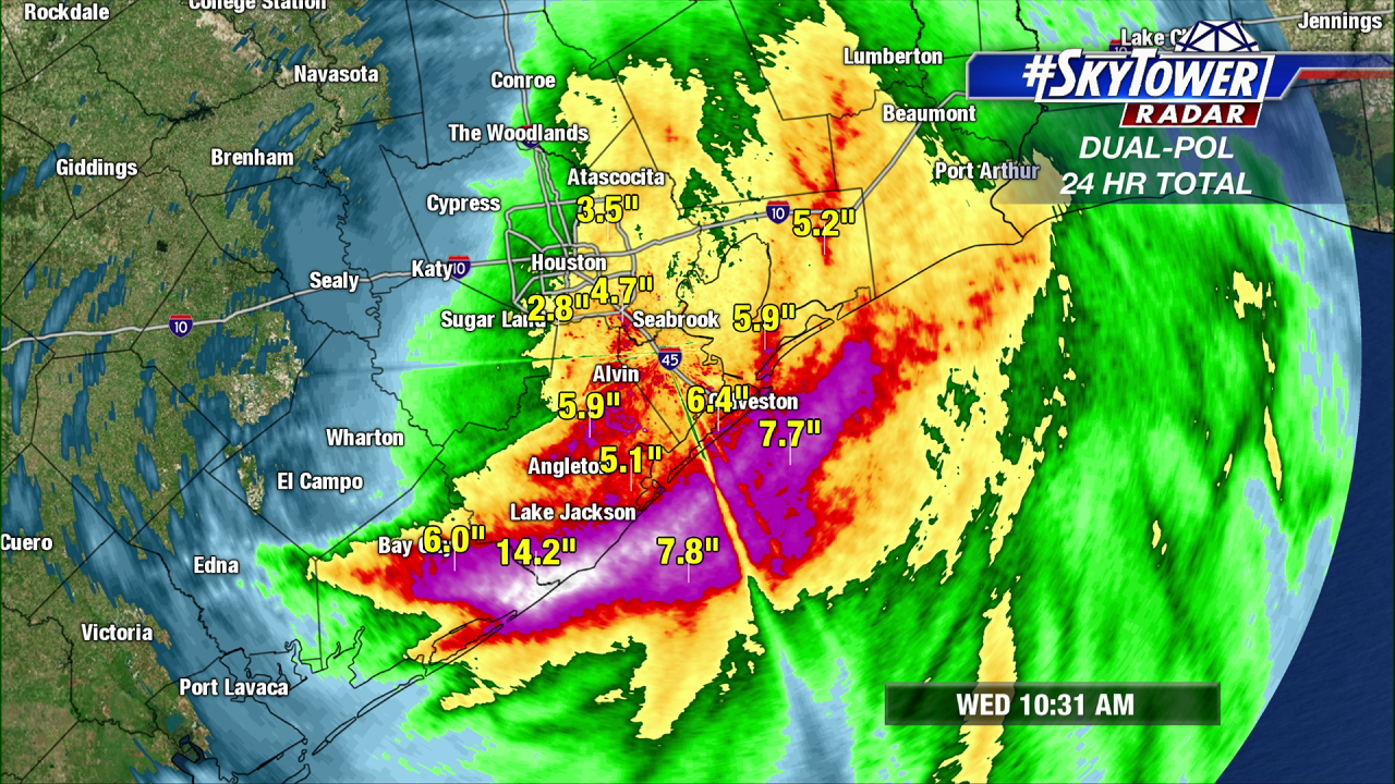
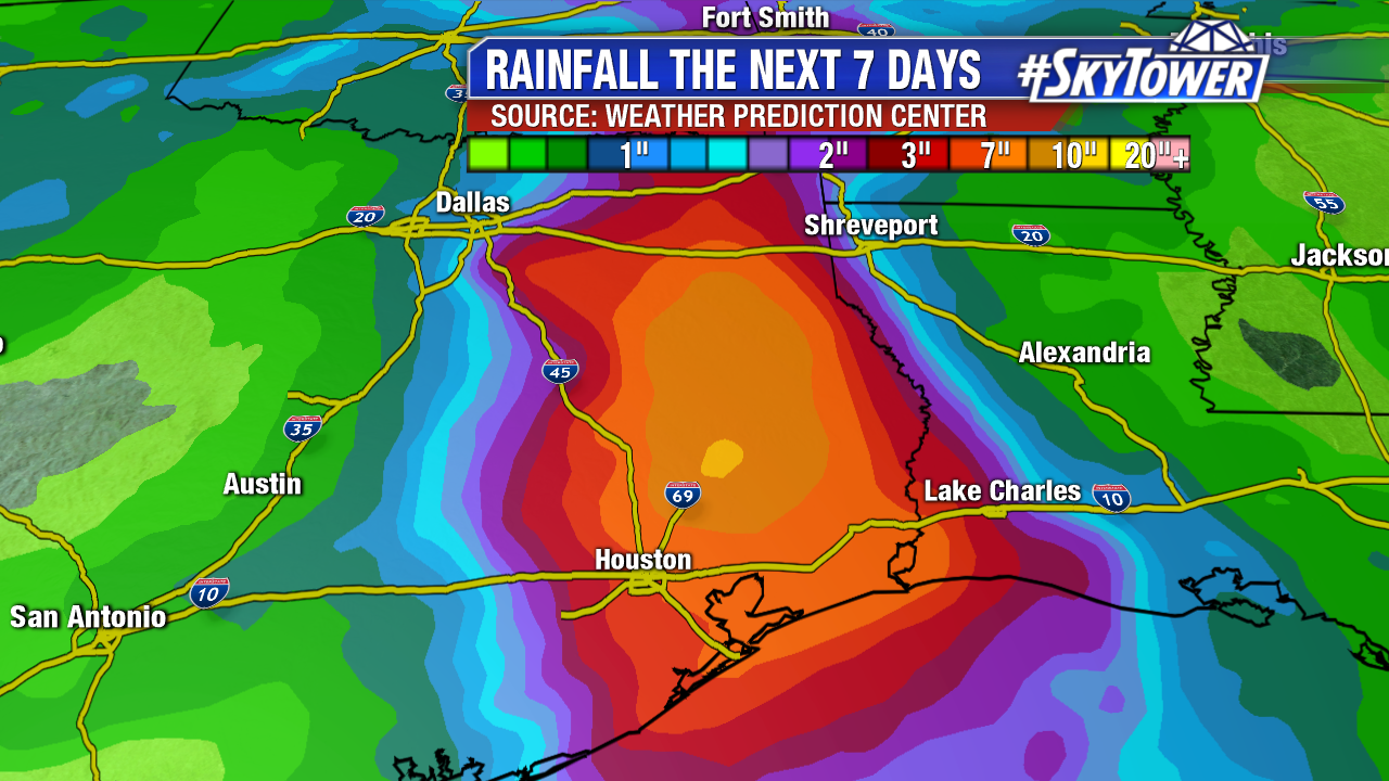
Imelda, now a tropical depression, continues to pound southeastern Texas with heavy rainfall. Several inches of rain has already fallen, with more on the way today and Thursday. When all is said and done, expect widespread 6-12″ totals, with isolated amounts of up to 20″. Heavy rain and a significant threat of flash flooding will spread inland over eastern Texas during the next couple of days.
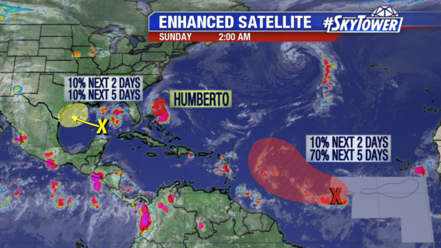
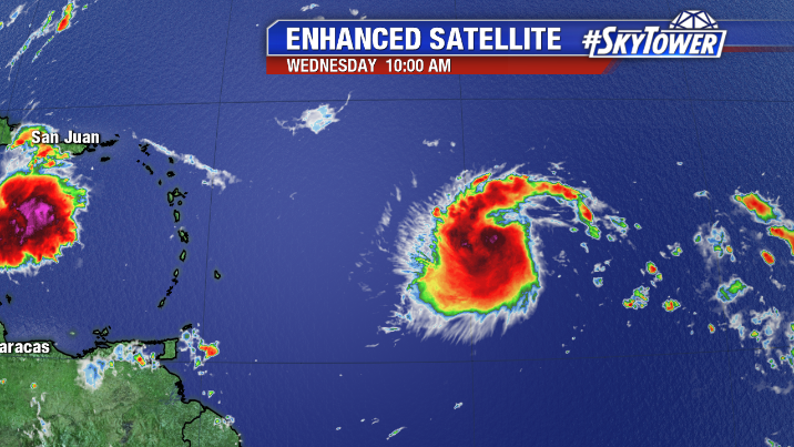
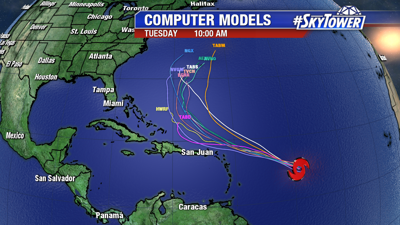
In the central Atlantic, Tropical Storm Jerry formed early this morning, and is currently located about 855 miles east of the Leeward Islands. The environment around Jerry is somewhat dry, but wind shear is low and will remain low for the next day or so. On satellite, it’s a well ventilated storm, and looks primed for at least some strengthening over the next 24 hours or so. Increasing shear should slow development somewhat later in the week.
The current track from the National Hurricane center has Jerry near the northern Leeward Island on Friday as a category 1 hurricane. It’s still too early to determine the severity of any impacts for those islands.
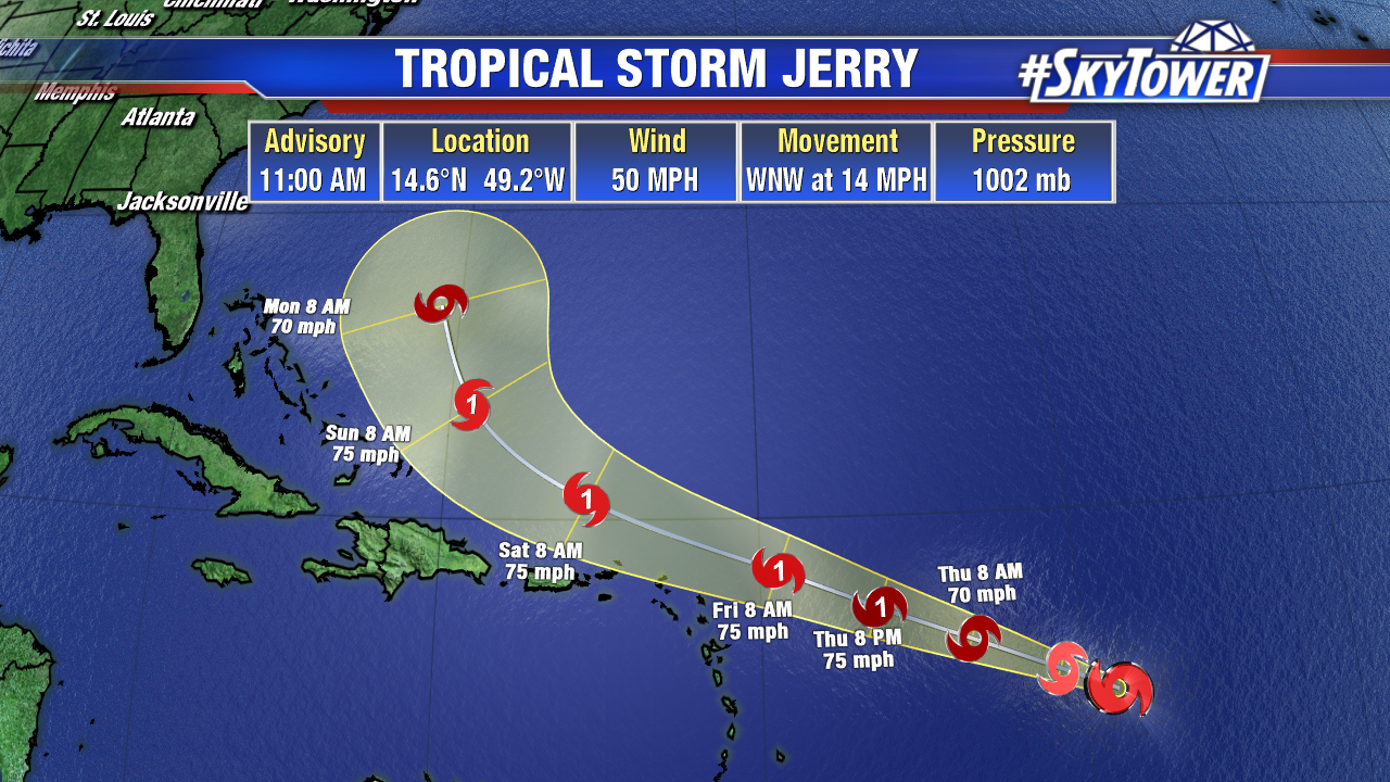
Long term, majority of model guidance indicates that Jerry will ultimately find a weakness in the ridge and follow in the wake of the departing Humberto – curving to the north, and moving safely out to sea. While this is the most likely scenario, this turn to the the north is still 4-5 days away, so we’ll be keeping close tabs on Jerry through the weekend.
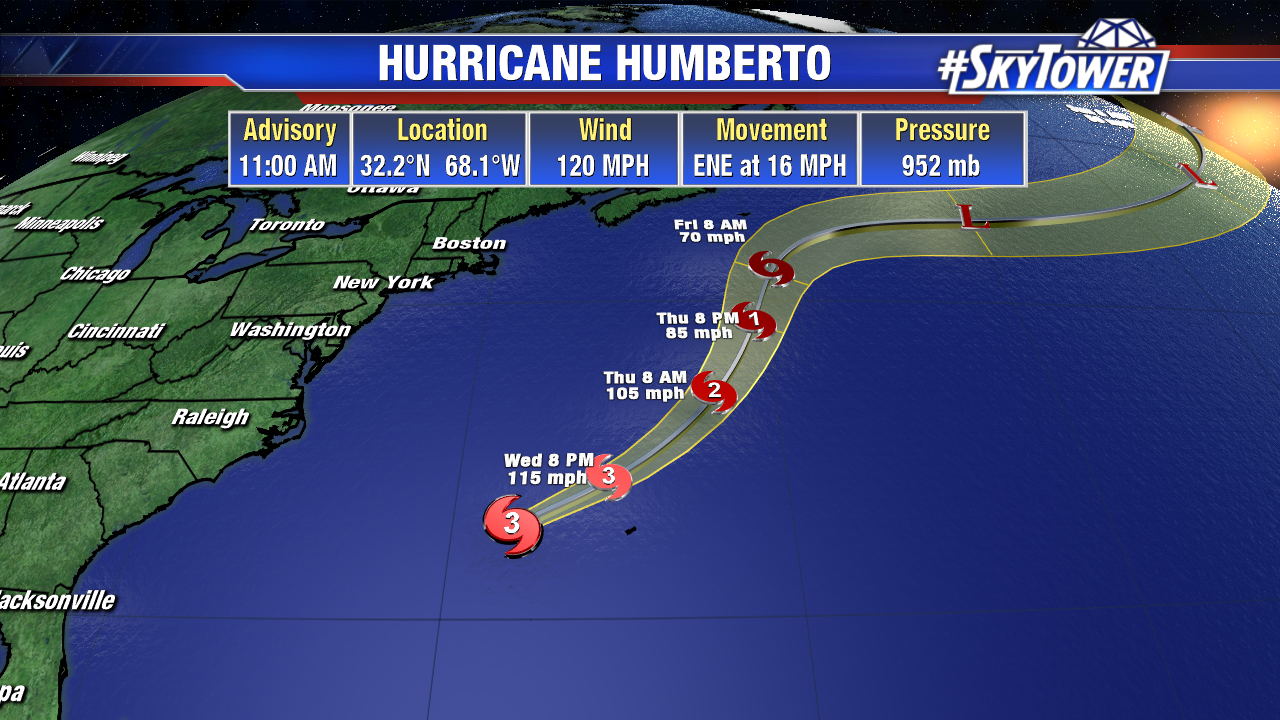
Humberto will bring a period of hurricane-force winds to the island of Bermuda this evening through Thursday morning. A few inches of rain, along with a storm surge of 1-3 feet on the southern shore, can be expected.
