
Hurricane Otis exploded in strength just hours before making landfall as a historically strong Category 5.
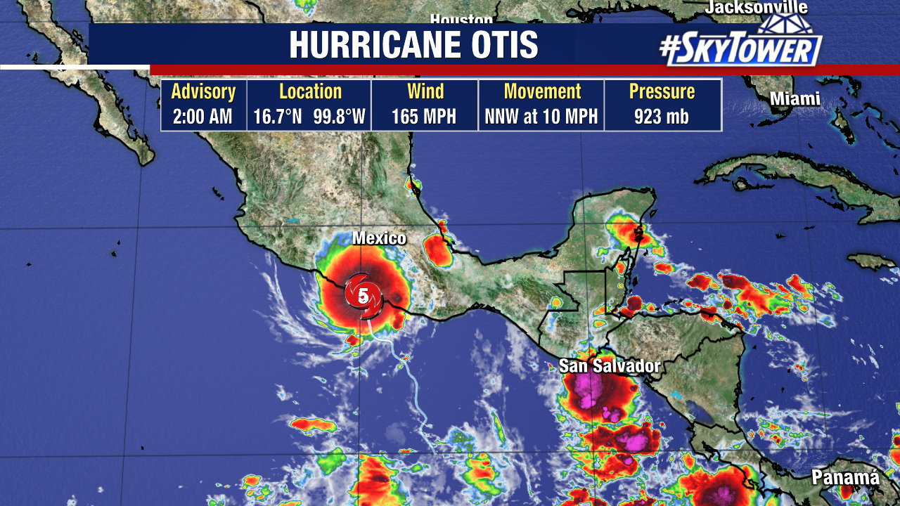
Hurricane Otis made landfall 5 miles south of Acapulco, with 165mph winds, around 1:30am Wednesday morning.
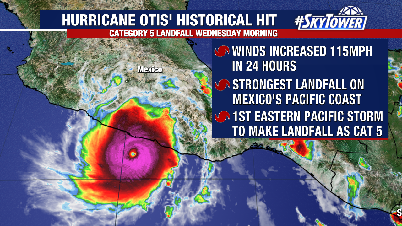
Otis’ winds increased from 65mph to 145mph in just a 12-hour window as the storm approached Mexico’s Pacific Coast.
A hurricane specialist with Colorado State University said, “That’s the fastest 12-hour intensification rate in the eastern North Pacific in the satellite era, breaking the old record of 75mph/12hr set by Patricia in 2015.”

Otis is the strongest hurricane to make landfall on Mexico’s Pacific side and the first Eastern Pacific hurricane to make landfall as a Category 5.
Not only did the storm rapidly intensify, it happened overnight and caught many in southern Mexico off-guard as the forecast changed so quickly.
The National Hurricane Center said Tuesday night, “A nightmare scenario is unfolding for southern Mexico this evening with rapidly intensifying Otis approaching the coastline….. There are no hurricanes on record even close to this intensity for this part of Mexico.”
Hurricane Otis is now down to a Category 1 hurricane with 80mph sustained winds on Wednesday morning. Hurricane Otis is currently spinning about 100 miles northwest of Acapulco, moving north-northwest at 10mph.
Otis will continue to weaken as it moves inland over Mexico’s higher terrain areas and eventually dissipate. This storm will still produce heavy rain and damaging winds through Thursday across southern Mexico.