Today marks the beginning of the Atlantic Hurricane Season. For the past couple of days we have been watching Hurricane Agatha in the Pacific make landfall and the remnants of that system add fuel into the western Caribbean. A broad area of low pressure in the western Caribbean has now been designated as Invest 91L.


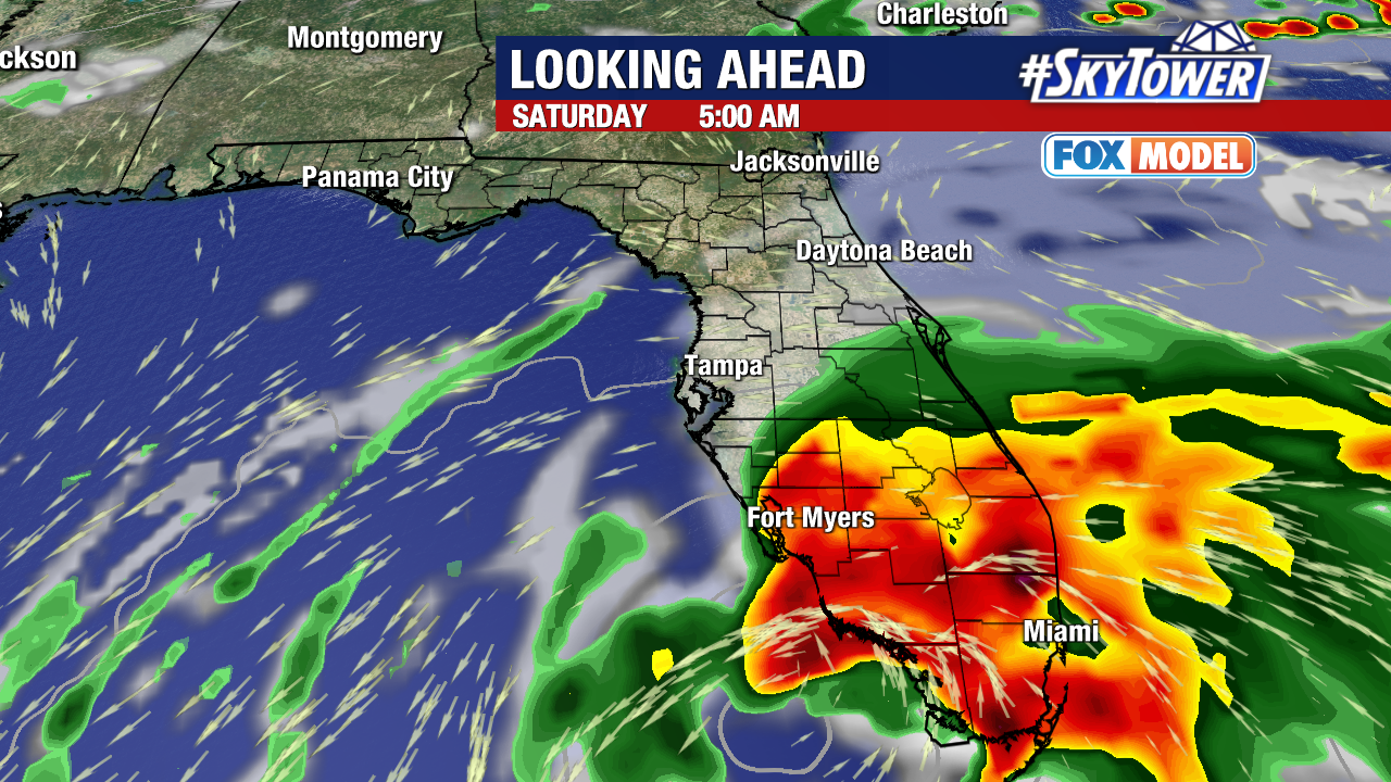
The main impacts look to be at this time, heavy rainfalls across south Florida. The fine details of this forecast will become clear over the next 24 hours, but the exact track will determine how much rain and how far north will the rains reach. Gusty winds will be confined close to where this system moves onshore and highly dependent on how much development we see with what could become a Tropical Depression or possibly a Tropical Storm.
Rainfall will move over Florida beginning on Friday evening into Saturday and quickly clear out by Saturday evening.