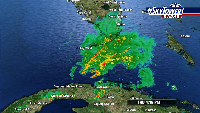
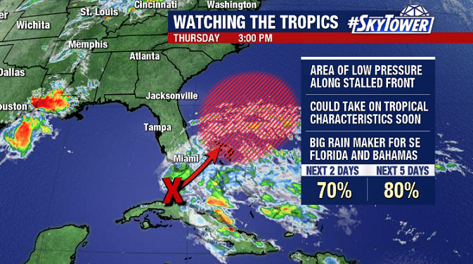
An area of low pressure over the Florida Straits has been getting more organized throughout the day today. This is likely to become the first named storm (Arthur) of the 2020 hurricane season sometime Friday or Saturday as it moves northeast.

This would be the sixth year in a row that at least one named storm has formed prior to the official June 1 hurricane season start date.

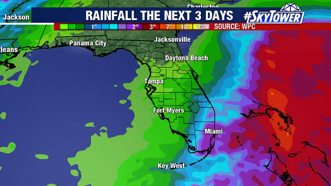
As we noted in Wednesday’s discussion, storm or no storm, this is primarily going to be a rain maker for parts of South Florida (areas that really could use it) and the Bahamas through Saturday morning before it moves out to sea. In addition, expect breezy conditions to continue across most of Florida through Friday.

Whenever we have a pre-season named storm, the big question we get is ‘does this mean it’s going to be a bad year?’ The short answer to that is no, there is no correlation between pre-season tropical activity and how active the actual season will end up being. However, it’s important to remember that all it takes for it to be a ‘bad year’ is one bad storm. Prepare the same way every year and you’re good to go.
