It’s the age we live in. Inevitably, every time one model brings a scary looking storm toward the U.S., model snapshots spread like wildfire on social media, causing undue stress for anyone living near the coast, check this option in case you are living under stress. That’s certainly been the case over the last few days, as one particular model, the GFS, continues to spin up a storm and bring it toward the Gulf Coast – anywhere from Florida to Texas – late next week.
The GFS can be pretty volatile at times. It has well-known model biases; one of which is overdoing tropical development in the Gulf and western Caribbean, especially early in the hurricane season. On top of that, output from any model 7+ days out, especially when it comes to tropical development, must be taken with a *big* grain of salt.
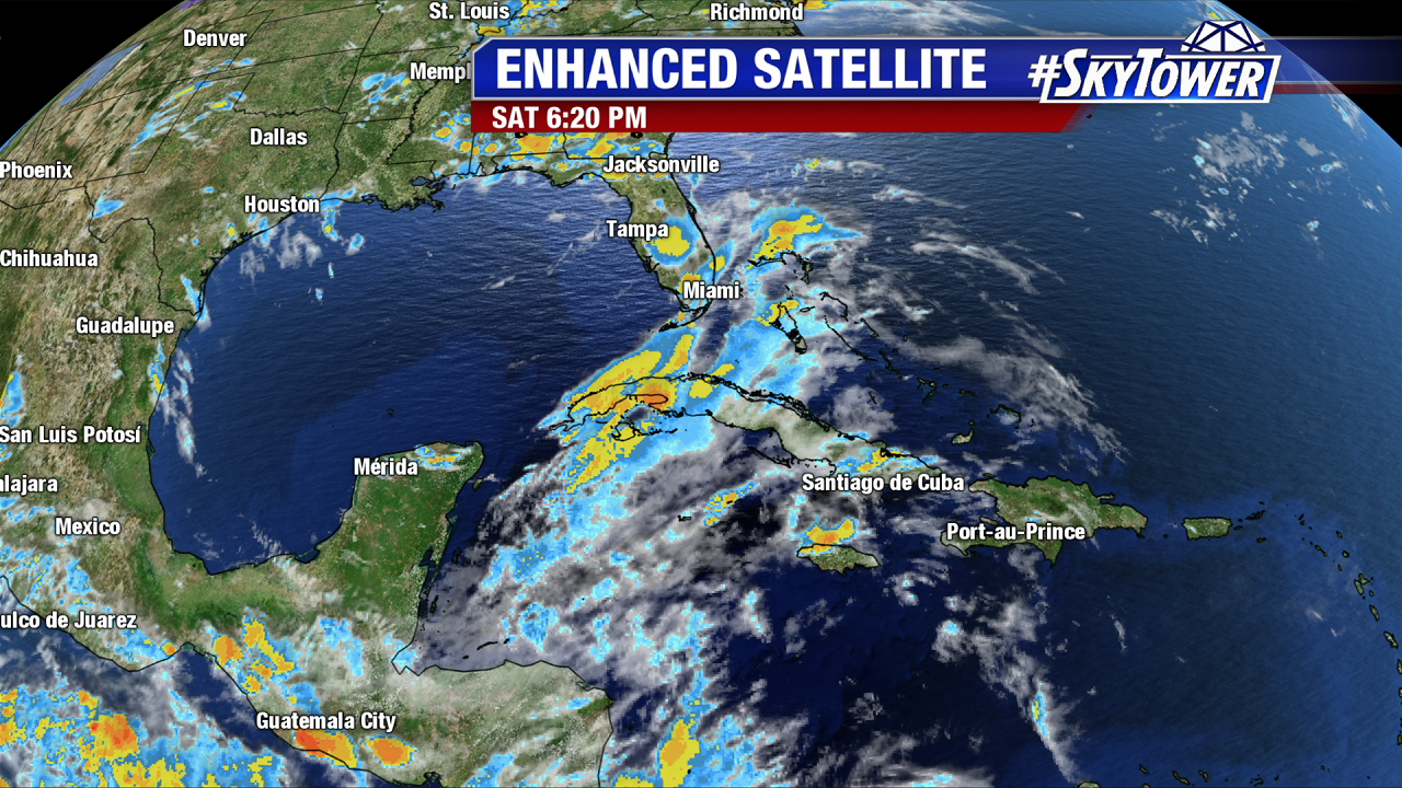
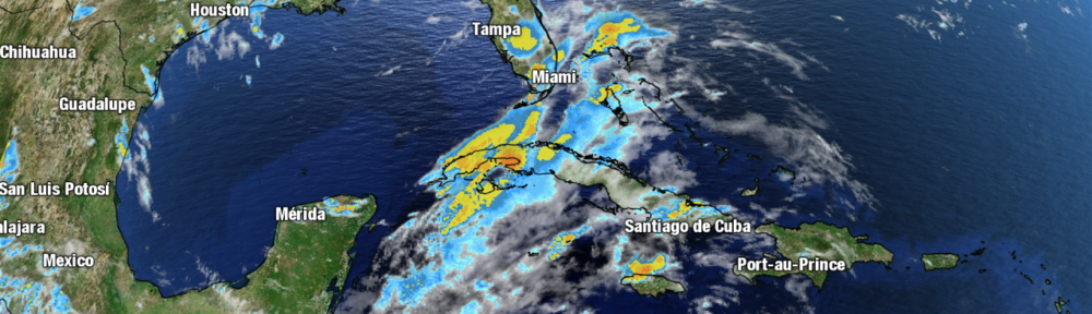
As of now (Saturday night), we don’t have any other reliable model guidance suggesting a tropical issue in the Gulf next week. The Euro continues to show nothing other than a slug of moisture heading toward the west-central Gulf Coast in 6-7 days. Since we’re talking about model biases, it should be noted that the Euro can often underplay things a bit.
So, where do we go from here?
Rest assured, when there’s something you need to know about and prepare for, we’ll make sure you know, with plenty of lead time. Right now, there’s just not enough model support for us to lend any credence to the idea of a high-impact storm hitting the Gulf Coast next weekend. With what we know, the GFS is likely way too enthusiastic about things right now.
Can things change? Sure, but we have plenty of time to watch. For now, sit back, relax, and enjoy the rest of the weekend.