The National Hurricane Center is currently monitoring an area of low pressure east of Bermuda dubbed Invest 94L. The area is only producing limited and disorganized shower activity as of Sunday and formation chances remain low. It has been given a 10% chance of development over the next 2 days and a 20% chance of development over the next 5 days.
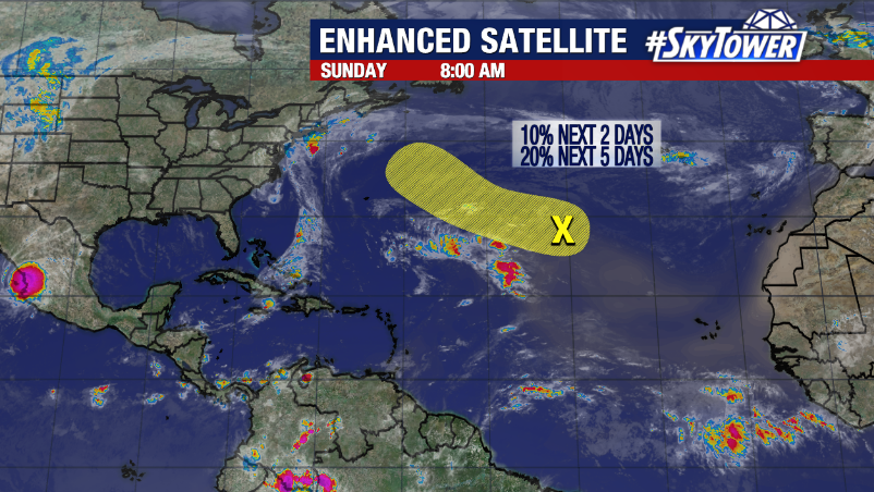
Environmental conditions are expected to only be marginally conducive for development over the next few days. Strong upper level shear will be the primary limiting factor for Invest 94L along with cooler waters. However, the area may acquire some subtropical or tropical characteristics as it continues moving west northwestward across the Atlantic.
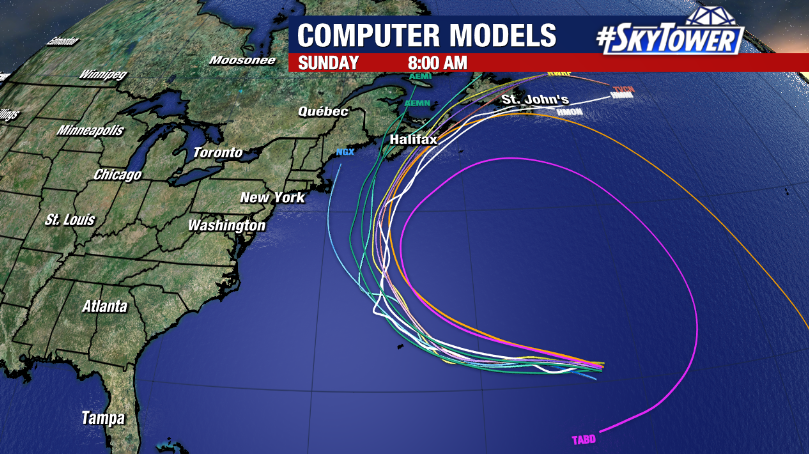
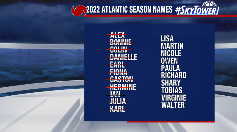
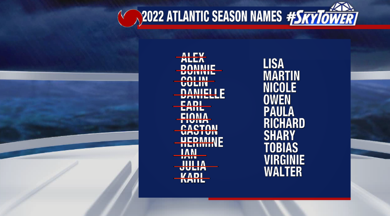
We’ll continue to watch the system. However, it will pose no threat to Florida. If Invest 94L develops into a named storm, it would be called Lisa.