It’s fairly quiet in the Atlantic basin right now. The National Hurricane Center is watching an area of disorganized storms south-southeast of Bermuda. Right now, upper-level winds will prevent this cluster of storms to develop into anything tropical. There is only a 10% chance of development with this system.
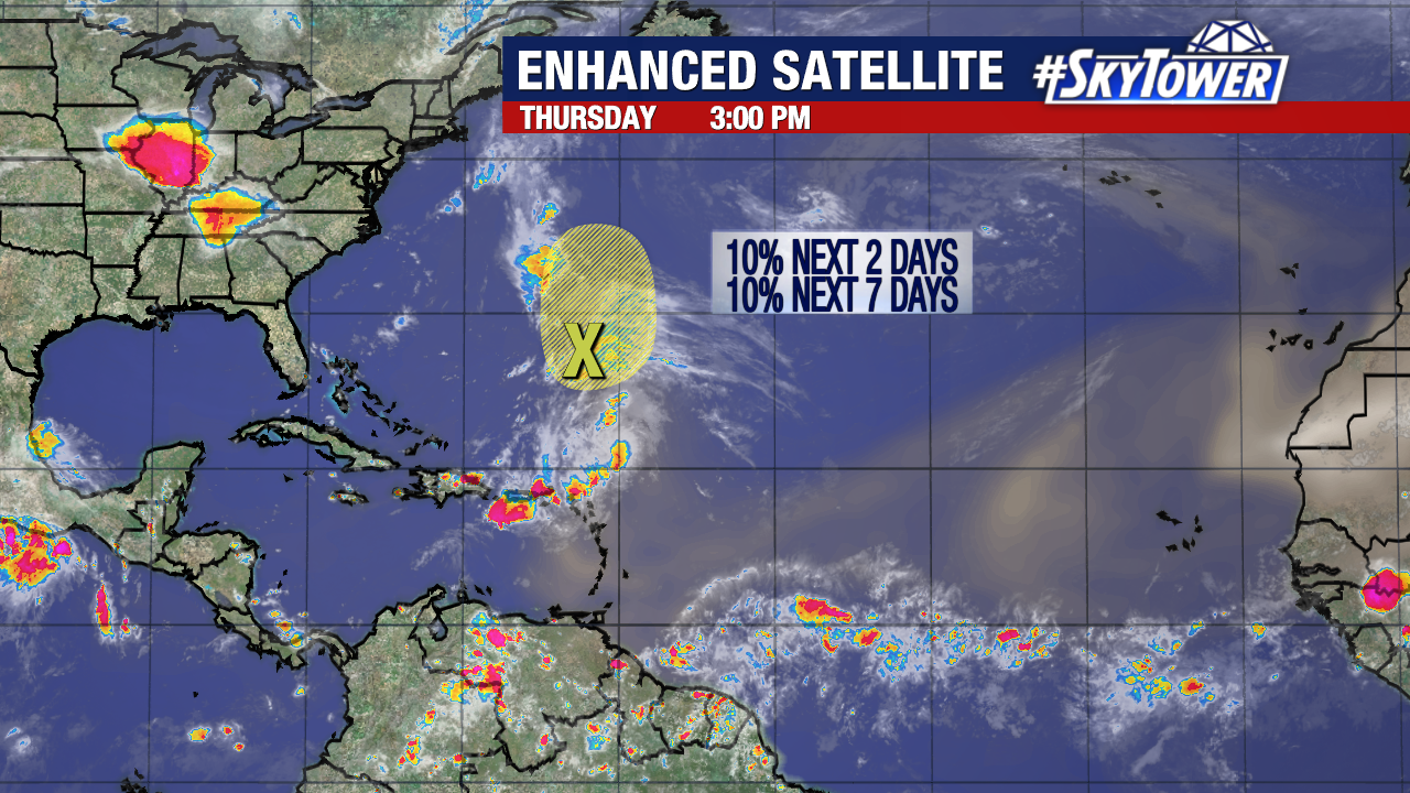
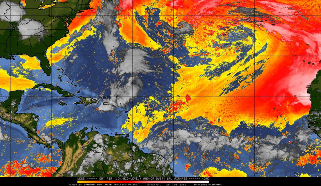
Thankfully, there isn’t much to expect right now in the Atlantic due to the Saharan Air Layer settling over the ocean from Africa. This will make the environment less favorable for any tropical development. However, Atlantic sea-surface temperatures are still above average for this time of year, which is why we have seen an uptick in activity at times this season.
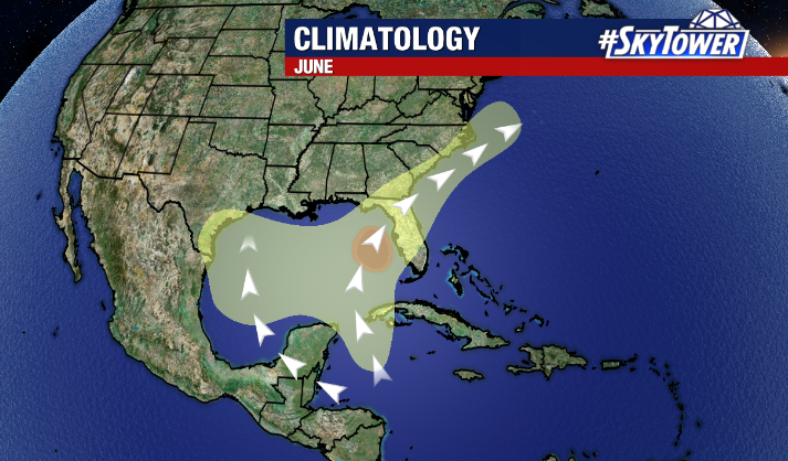
Despite the lack of activity currently, it is important to remember that we still have a long way to go in hurricane season. On average, the tropics become more active over the next month or so.