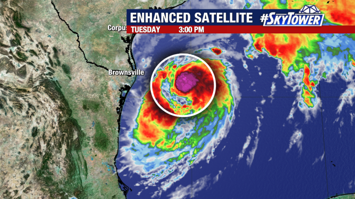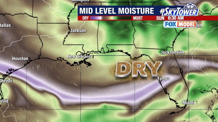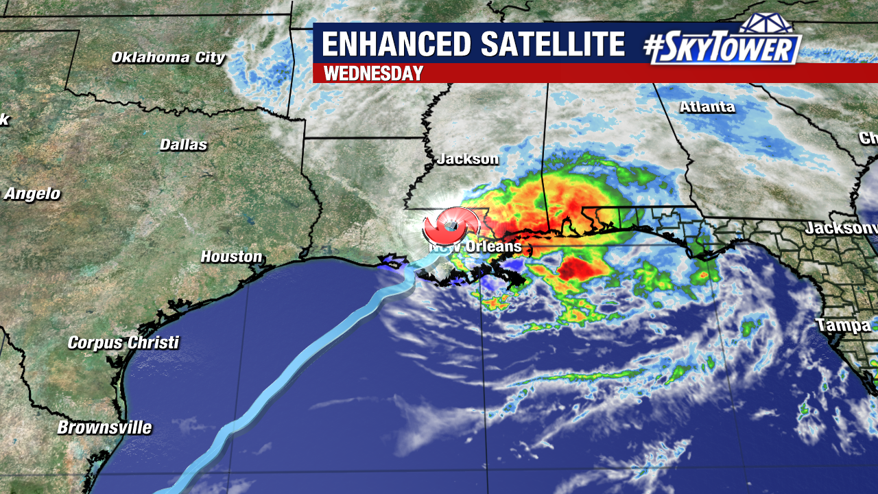
Francine has weakened into a tropical storm after making landfall near Morgan City, Louisiana as a Category 2 hurricane this evening. Over 300,000 households and counting are now without power as damaging winds, isolated tornadoes, and flooding remain a concern for areas impacted by the storm.
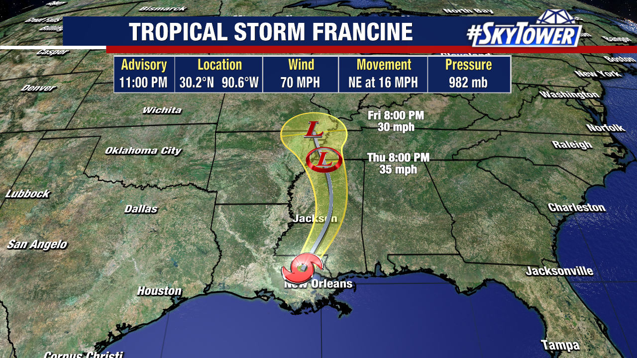
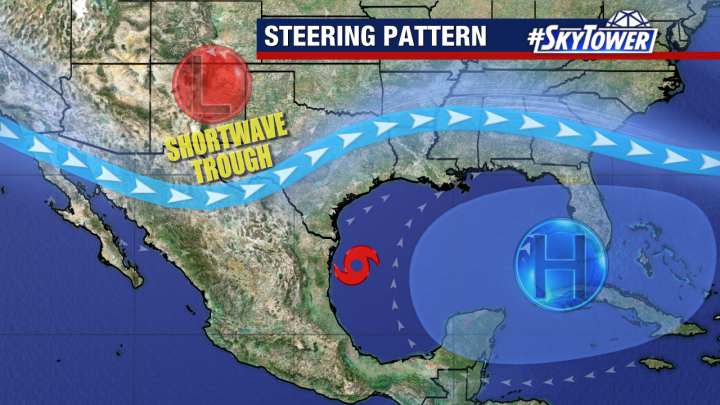
Francine should weaken into a post-tropical depression later this week as it tracks through Mississippi.
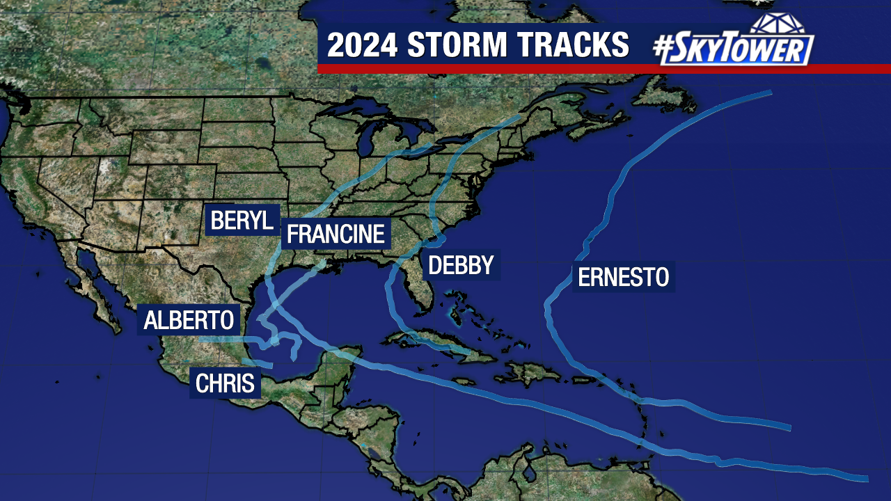
This was the sixth named storm of the season with all six making landfall at some point in their lifespan.
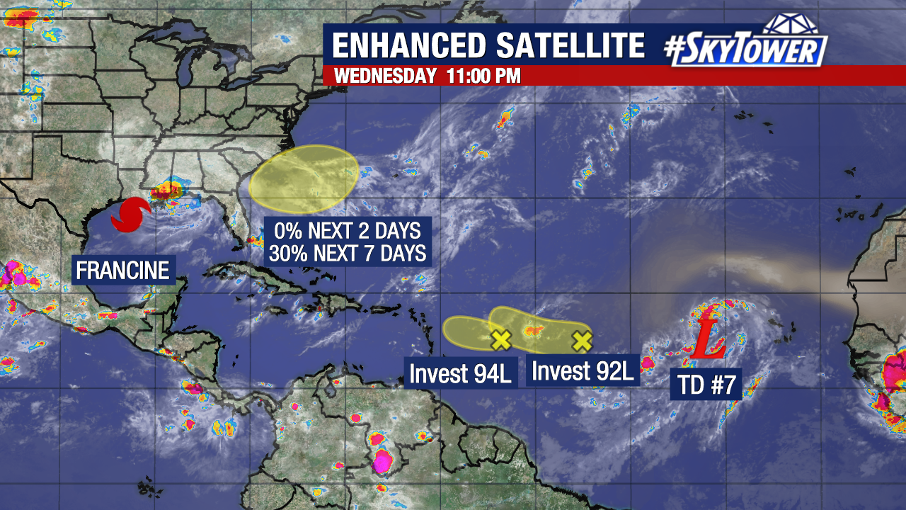
Apart from Francine, we are monitoring three areas of disturbed weather and a tropical depression in the Eastern Atlantic. All three disturbances have low chances of formation within the next week.
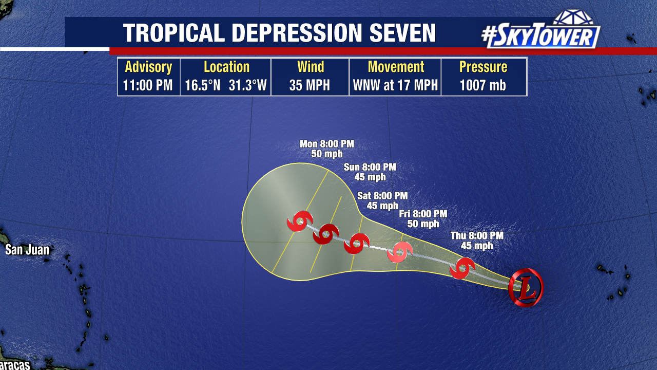
Tropical Depression Seven should strengthen into a tropical storm within the next day. It would likely take the name of Gordon if it does. Weather models still indicate that this system will ultimately be steered away from the United States next week.