Two New Disturbances To Watch In The Atlantic

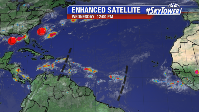
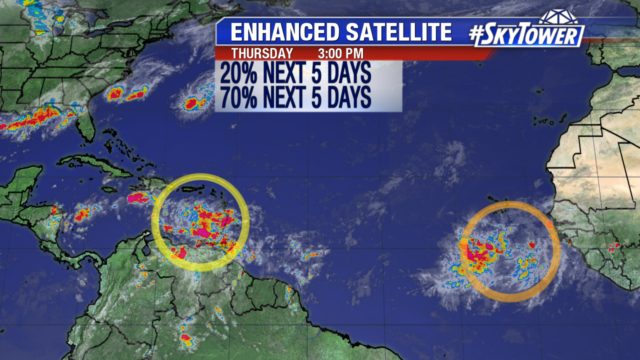
And just like that, we have two new areas to watch in the Atlantic basin. The first is a tropical wave in the southern Caribbean Sea just west of the Lesser Antilles (Invest 90L). Conditions over the Caribbean Sea should become a little more favorable over the weekend and into next week as this system moves west-northwest 15-20 mph. Overall, the National Hurricane Center (NHC) is currently only giving this a 20% chance of development over the next 5 days.

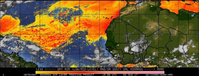
The second area we’re keeping an eye on is a rather robust wave (Invest 99L) that came off the coast of Africa over the last 24 hours . It’s combating some moderate wind shear and marginally warm sea-surface temperatures at the moment, but conditions will become more favorable for development as this moves off to the west-northwest over the next several days. The NHC is now giving it a 70% chance of development.

atlantic-wide-2d-ir-enhanced

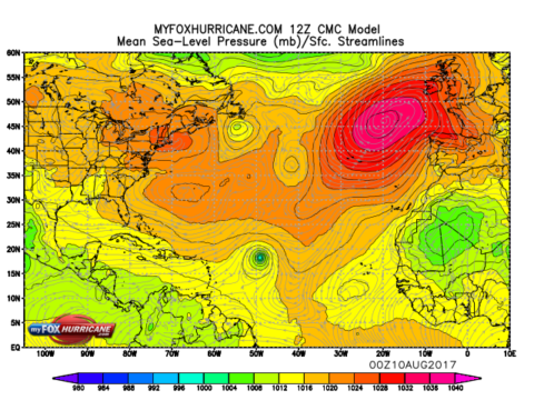
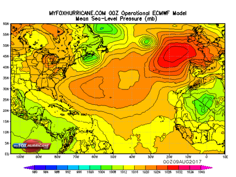
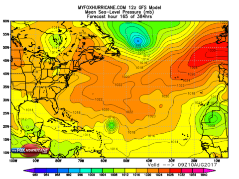
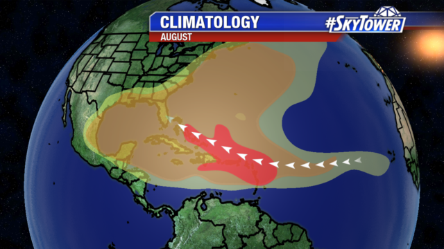
As is usually the case when we’re talking about anything a couple thousand miles away, it’s way early to speculate about any impacts. Any model solutions a week or more away really can’t be trusted, especially with tropical systems. To give you an idea, latest runs of the GFS and CMC really ramp up this storm fast over the Central Atlantic, while the ECMWF has absolutely nothing. So for now. we watch and wait.

cmc_atl_mslp_53

ecmwf_atl_mslp_7 gfs_atl_slp_56


Remnants of TS Emily Move Out To Sea; Still Some Disturbed Weather Over The Eastern Gulf

There isn’t much left of what was Tropical Storm Emily. It’s remnants continue to move northeast, further out to sea. In its wake there is a weak area of low pressure, along an old frontal boundary in the eastern Gulf, that is creating an area of disturbed weather over portions of Florida. We aren’t expecting any tropical development with this feature, but we’ll monitor it closely in the coming days. In general, expect rain chances to fall through the rest of the work week.

florida-wv-icon

Elsewhere across the Atlantic basin, there isn’t much activity to speak of other than a couple of open waves, one in the central Atlantic and one moving through the Lesser Antilles. Both of these have slim prospects of development thanks to an abundance of dry air in the area.

atlantic-wide-2d-ir-enhanced

Below image courtesy: NOAA/University of Wisconsin

splite

We’re getting into the time of year when just about any tropical wave coming off the coast of Africa has a chance of development, so you’ll want to check back often for updates as we head toward the peak of hurricane season.

climatology-august

tropical-hurricane-frequency-graph-wtvt