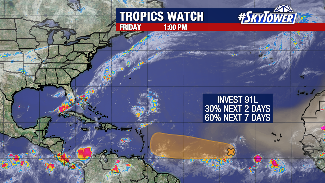
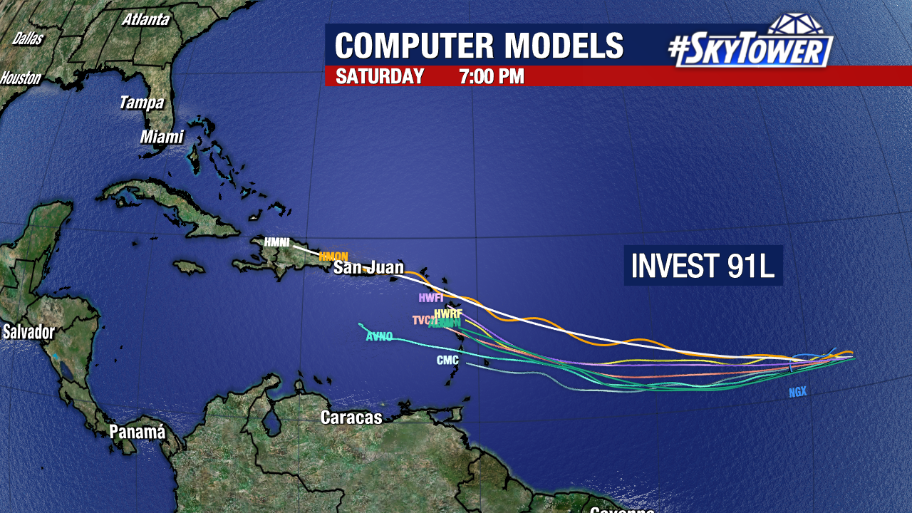
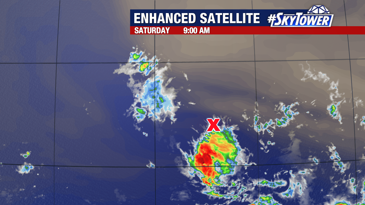
The tropical wave we’ve been watching now has a low chance to form. The odds for Invest 91L are down to 30%.
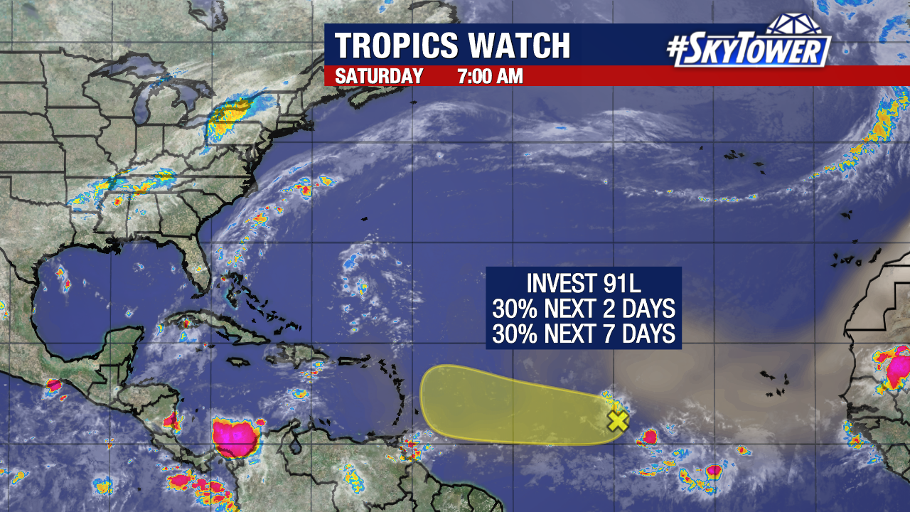
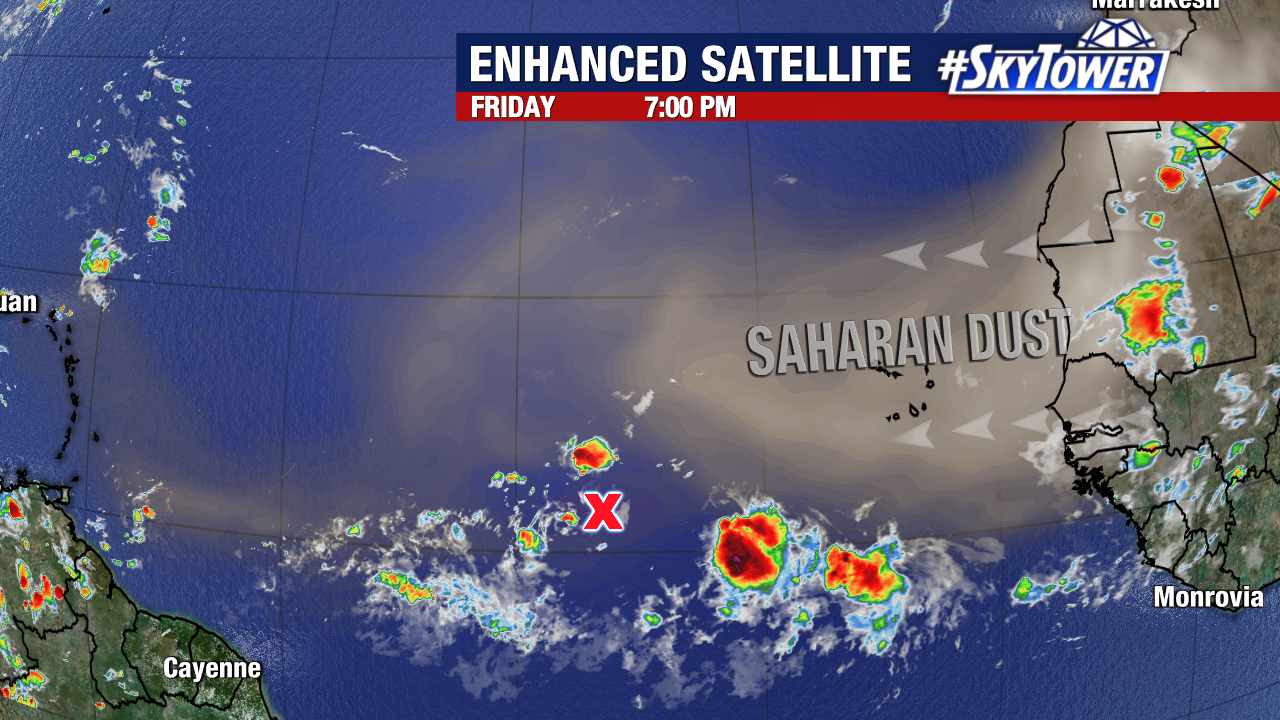
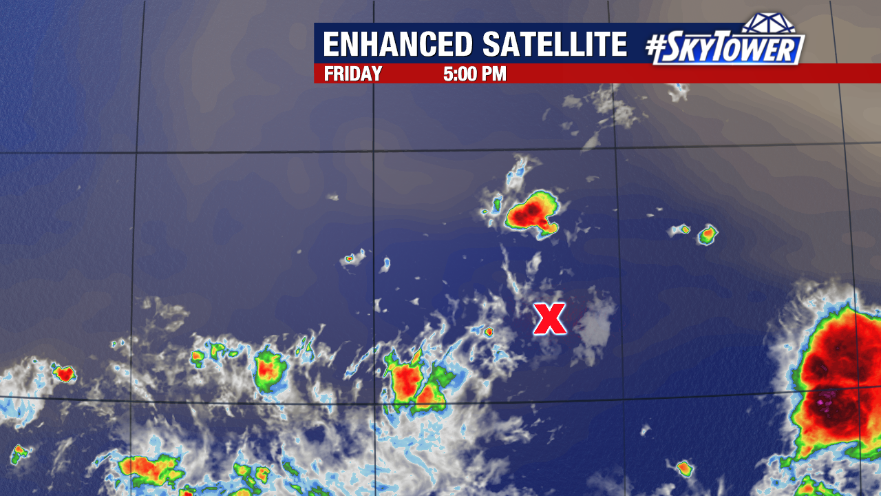
The disturbance has been battling dry air and moving so slowly that it has not been able to pull away from the dust and strengthen. This Saharan air layer has about 50% less moisture, which really limits a tropical system.
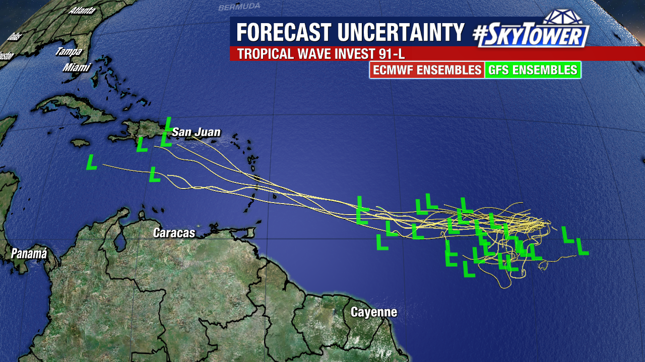
Invest 91L will continue moving west around 10-15 mph but many models don’t develop it further.
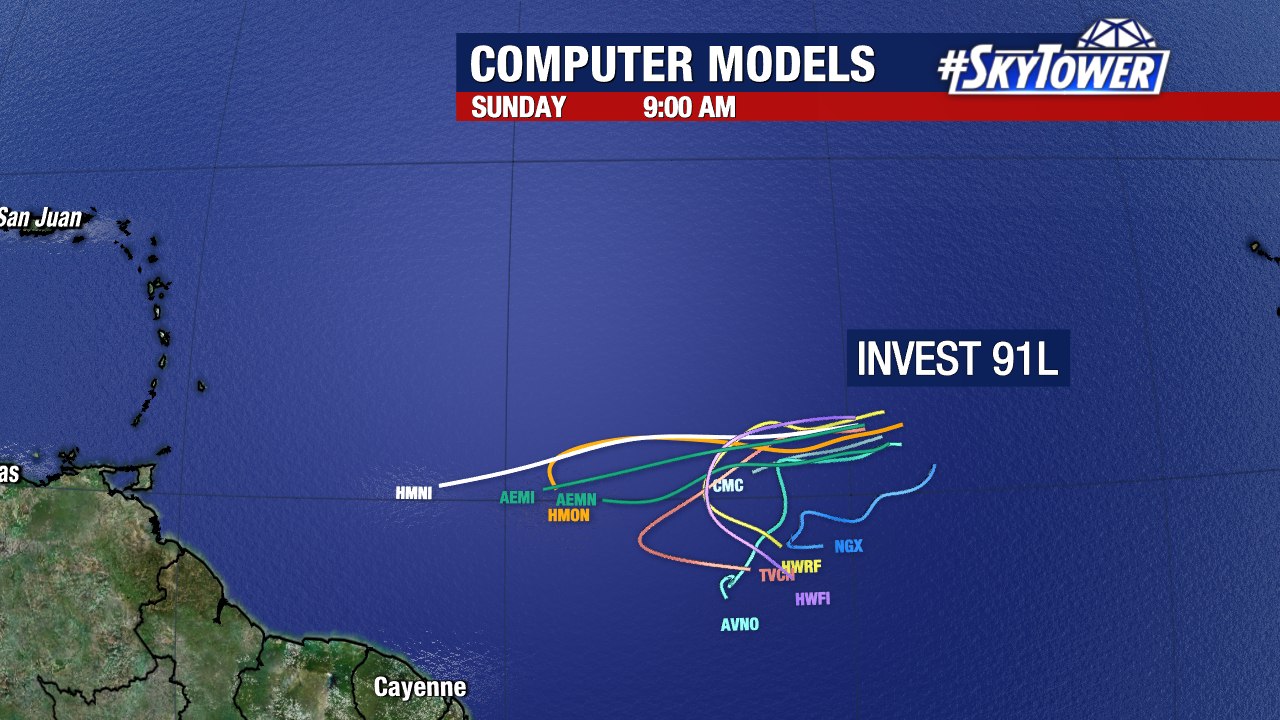
If it holds together, the disturbance will be near the Lesser Antilles by Tuesday – Wednesday.
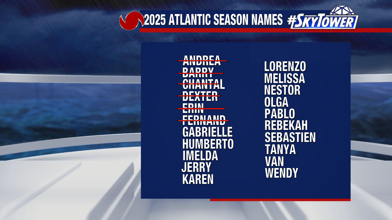
So far this season, we’ve had 6 named storms and Hurricane Erin. Gabrielle is the next name in line.
The G named storm typically forms on September 3rd.