Tropical Wave Set To Move Across Florida; Soon-To-Be Florence Rolls Off African Coast

The peak of the Atlantic hurricane season is right around corner, and right on cue, the tropics are starting to wake up. Heading into Labor Day Weekend we’re watching a tropical wave moving across the northern Caribbean Sea. This disturbance has been producing rounds of heavy rain across the Dominican Republic, Puerto Rico, and Leeward Islands over the last couple days.


So far, there isn’t any evidence of much organization. Any hint of development has been squashed by high wind shear – a battle that this disorganized area of showers and storms will continue to fight as it moves west-northwest toward the Bahamas and Florida over the next 3 days.

While we still have some model disagreement, there are signs that wind shear will lessen as this disturbance moves across Florida and into the eastern Gulf of Mexico early next week. As things stand right now, this looks to be a disturbance that will simply enhance daily rainfall coverage across Florida around Labor Day – an outcome that could lead to localized flooding in spots thanks to already soaked soil from recent heavy rains. Thereafter, it’s possible that a tropical storm could form as this moves away from Florida and heads toward the central Gulf Coast during the middle of next week.

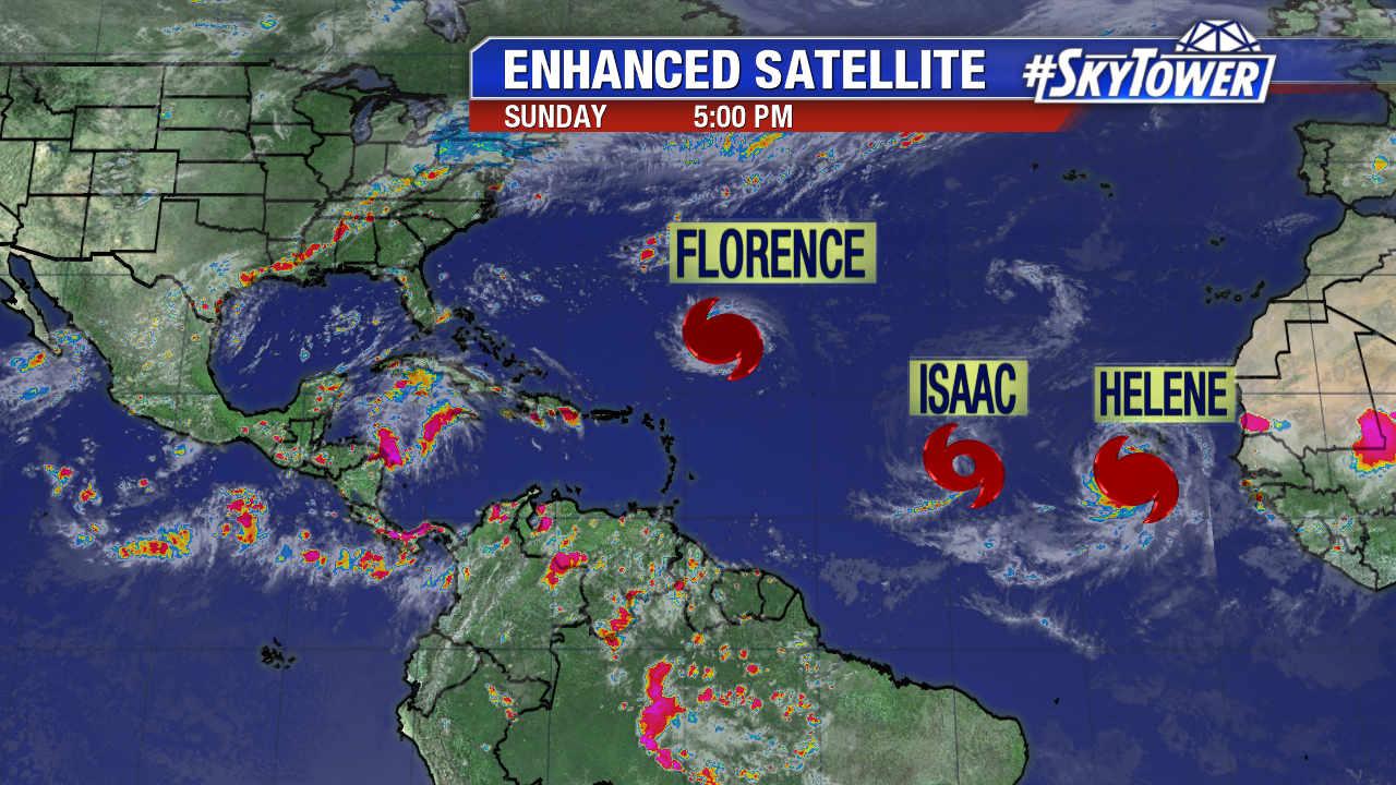
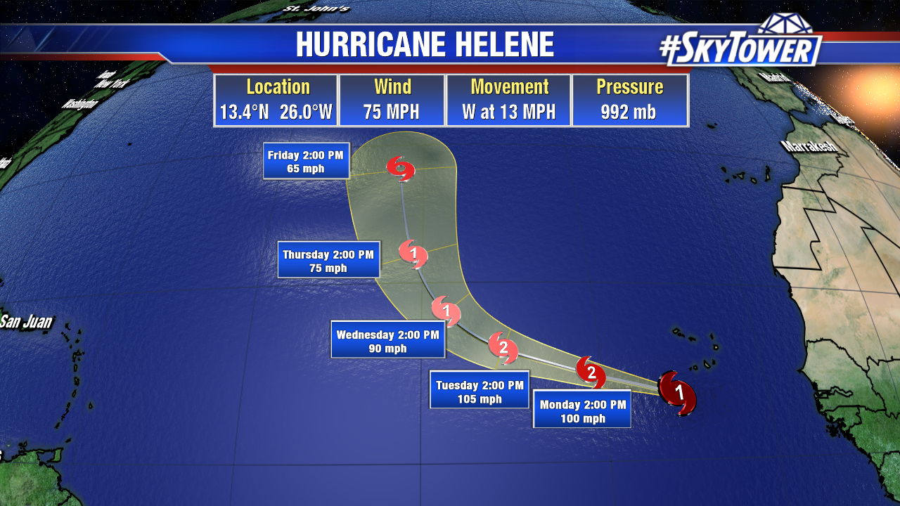
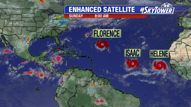
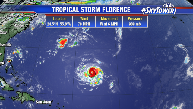
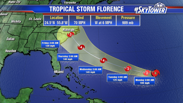
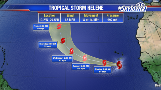
We’re also watching a vigorous tropical wave coming off the coast of Africa. The National Hurricane Center has now tagged this as ‘Potential Tropical Cyclone Six’. Sitting well south of the dry Saharan Air layer, this area has a very favorable environment to work with and should become Tropical Storm Florence at some point in the next day or so. After moving across the Cape Verde Islands, it will head northwest into the open Atlantic. In all likelihood this storm stays well out to sea and will have no impact on the United States, but we’ll be monitoring its progress closely, regardless.

Tropics starting to wake up

As we head toward the peak of the hurricane season on September 10th, it is only a matter of time before we started to see some life in the tropics. There continues to be a large amount of dry air across much of the Atlantic, but the vigorous waves coming off the coast of Africa are becoming more frequent. There is a tropical wave working its way off the coast of Africa just south of the dry Saharan Air Layer. The ECMWF has been picking up on this for several days along with another area over the Leeward Islands.

The wave currently moving over the Leeward Islands is embedded in an area of dry air but has been able to maintain its convection and wall off the intrusion of dry air. It is currently experiencing strong wind shear but conditions will become more favorable in a couple of days. This will put the wave in an environment of favorable conditions with lower wind shear and warm waters.

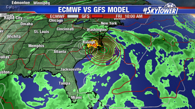
The European Model (ECMWF) picked up on this tropical wave Monday night and has been consistent for several runs since in slow development of this area as it moves through the Bahamas approaching the Florida coastline. It is important to note that while the ECMWF has been showing slow development, the GFS has not show any noteworthy development other than an increase in tropical showers for the state.

The ensemble members of the ECMWF are now putting this area at about a 56% chance of tropical depression development as it moves over Florida and into the Gulf of Mexico. A path such as this is not common, but it is not unprecedented. Tropical Storm Jerry in 1995 formed off SE coast of Florida aided in part by the warm waters of the Gulf Stream. It moved onshore and NW up the spine of the state before moving into the Gulf from Citrus county. Tropical Storm Jerry had minimal winds but brought rainfall totals of up to 10 inches in Palm Beach county. This wave could end up bringing heavy tropical rains to much of Florida the early part of next week regardless of whether this develops into a depression or not and will be an area that has to be monitored over the Labor Day weekend.

While we watch the progression of the tropical wave moving towards Florida the ECMWF shows slow development of the wave moving in the eastern Atlantic but a weakness in the Atlantic ridge will allow for more of a northward turn in the middle of the Atlantic keeping it safely over open waters.

The waves will become more frequent across the eastern Atlantic and it looks as if later in the week there could be more activity to watch with westward moving tropical waves showing more promise of development as we head right into the peak of the hurricane season.