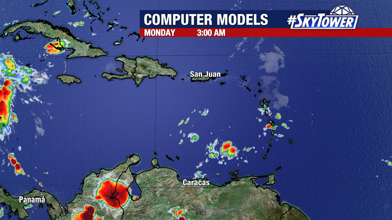
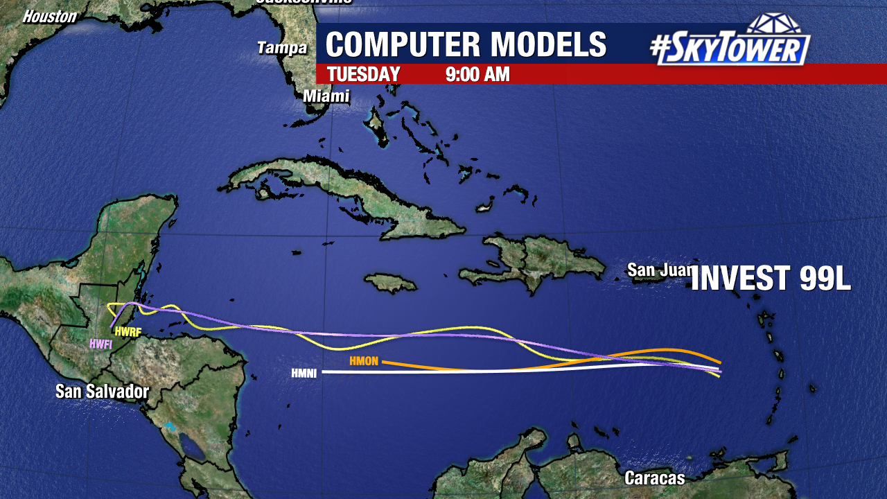
It’s a nice sight to see – with no areas to watch for development across the Atlantic.
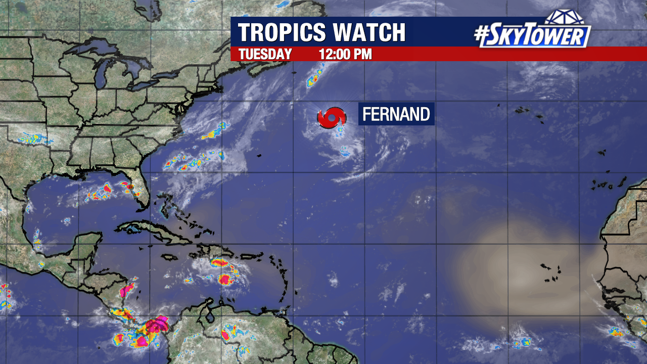
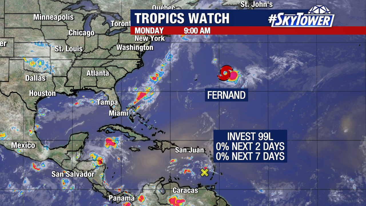
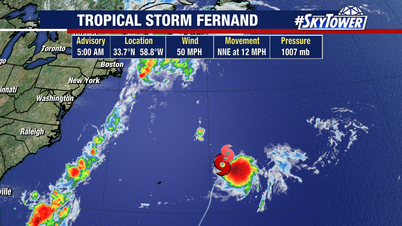
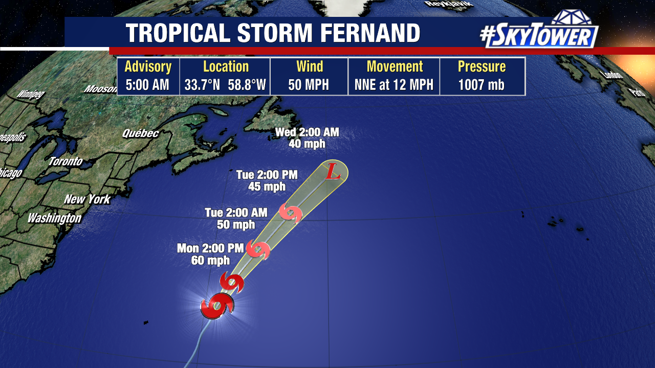
Tropical Storm Fernand is about 1,000 miles south of Cape Race, Newfoundland. It is moving northeast through the open Atlantic and will continue on this path.
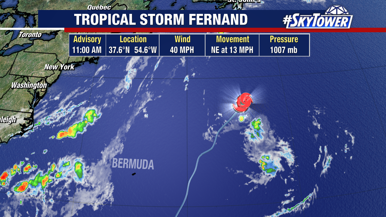
Fernand has sustained winds of 40 mph and there is a chance it briefly strengthens Wednesday, keeping it as a tropical system for a bit longer.
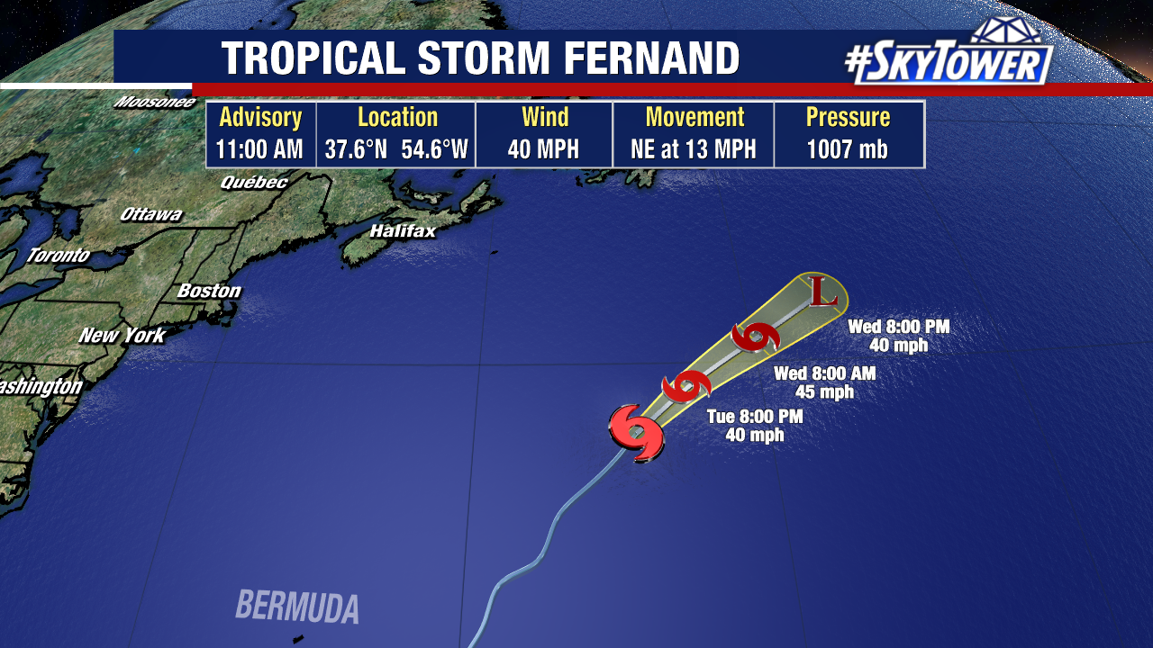
By Wednesday night, Fernand will likely be post-tropical as the circulation gets swept up in a trough.
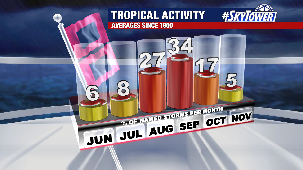
September brings an increase in tropical activity and is typically the most active month of the season.