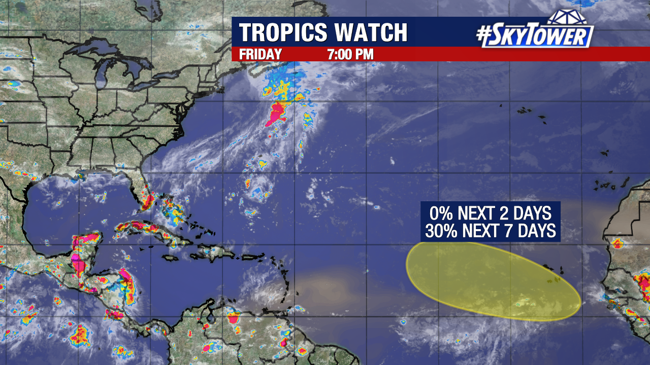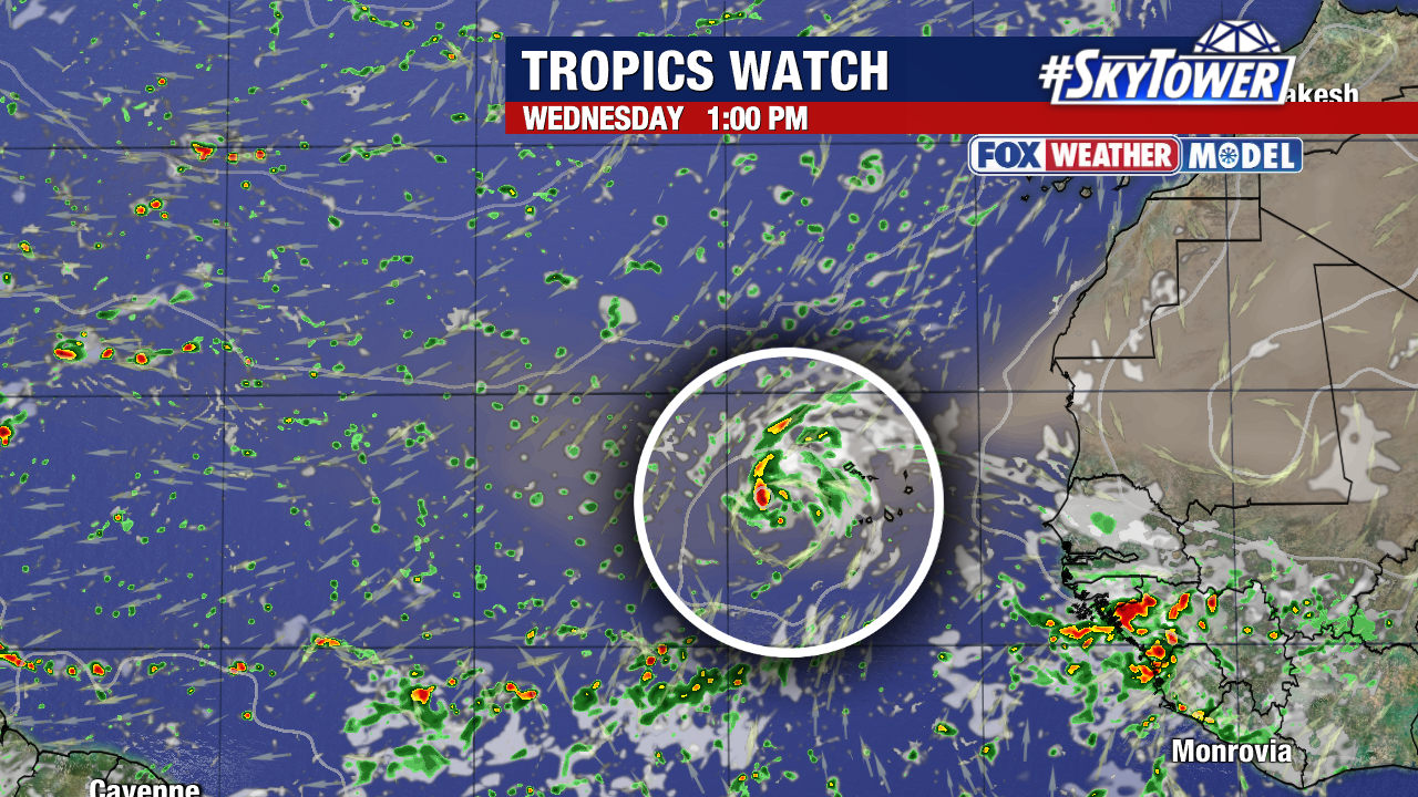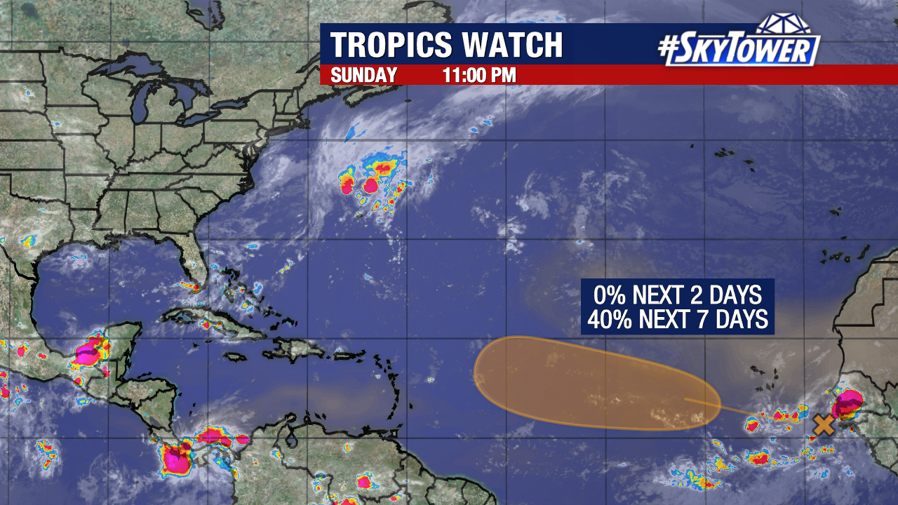
Odds are increasing that a tropical wave that has just emerged off Africa’s coastline will develop into a tropical depression or storm within the next week. The National Hurricane Center has now given the disturbance a medium (40%) chance of development.
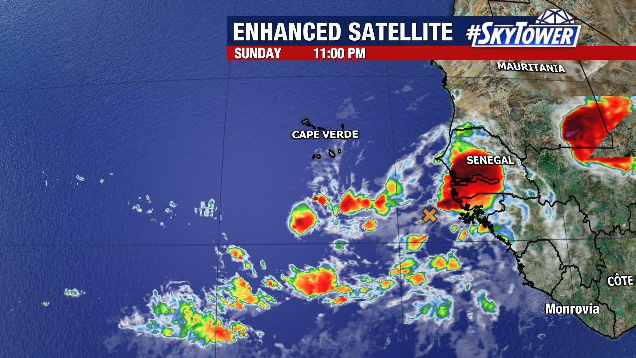
For now, this is a disorganized cluster of thunderstorms a little over a hundred miles off the coast of Guinea-Bissau.
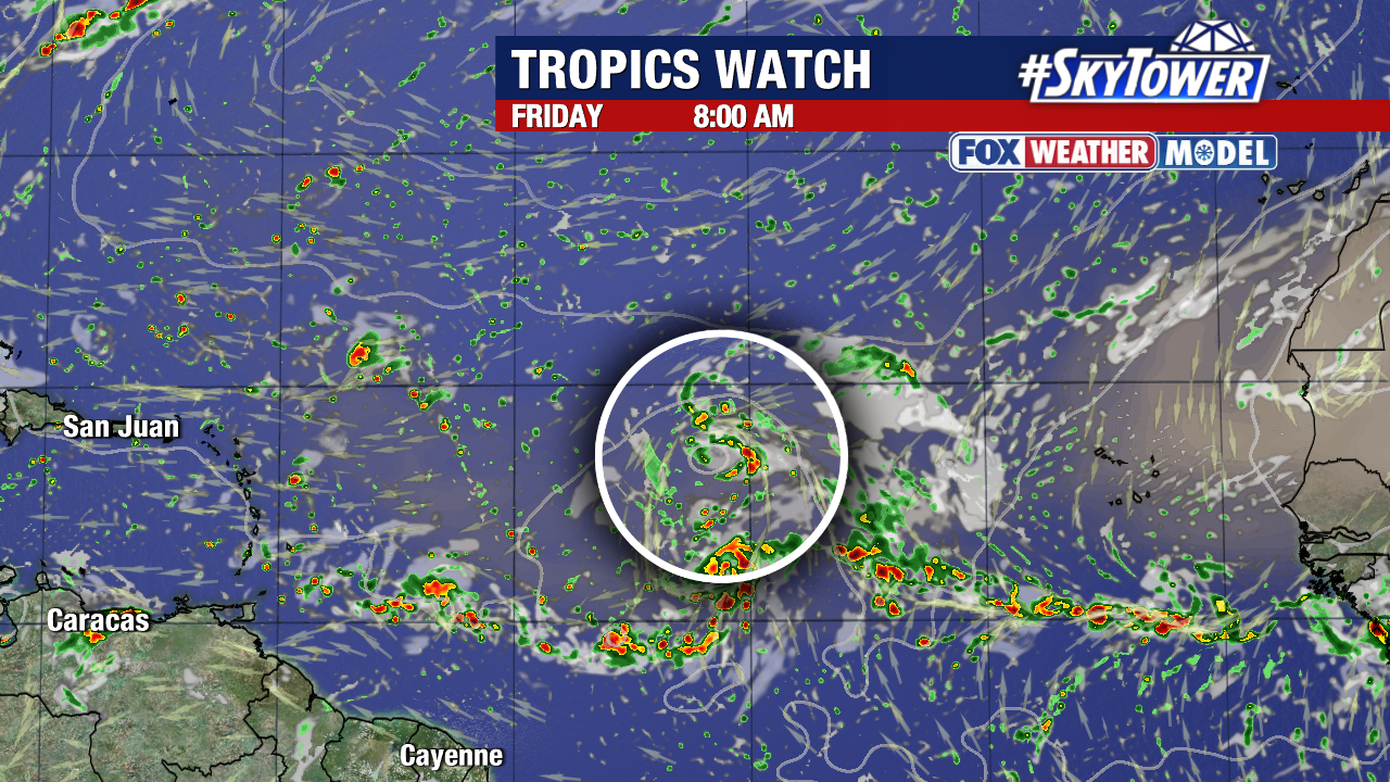
This disturbance will likely become more organized as it moves across the eastern and central tropical Atlantic this week. It’s still too early to accurately predict where it would go if it develops. Regardless, we’ll have over ten days to keep an eye on the system and there are no imminent tropical threats for Florida.

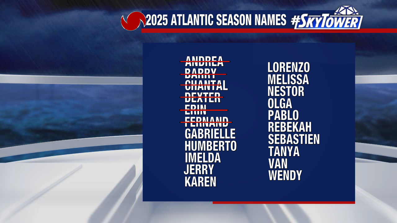
The next name on our 2025 storm naming list would be Gabrielle.