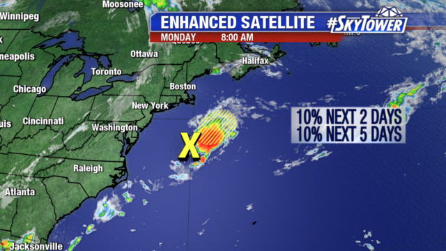
Hard to believe we went a full 37 days without a single named storm in the Atlantic, but we knew that streak would end at some point – especially with the peak of hurricane season fast approaching. Sure enough, Tropical Storm Chantal formed late Tuesday evening in the middle of North Atlantic shipping lanes.
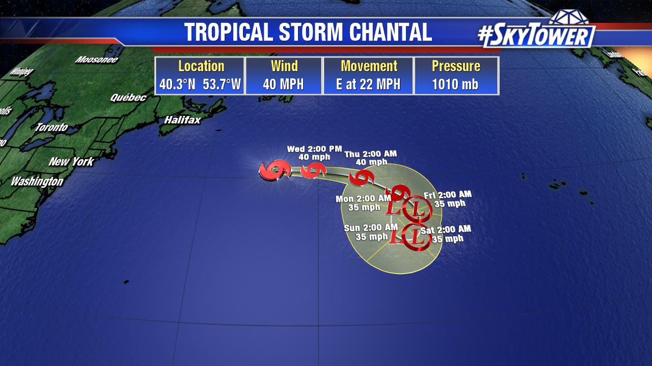
Chantal isn’t going to do much. Forward motion should slow by the end of the week, and it’ll dance around the middle of the ocean. No impact to land is expected.
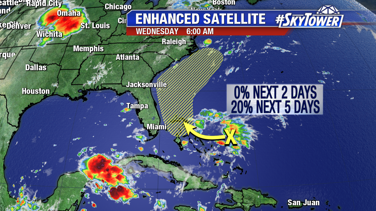
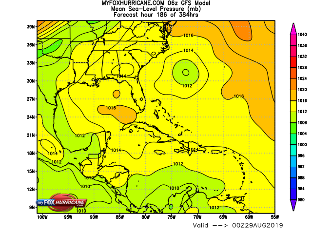
We’re also watching an area disturbed weather near the Bahamas. It’ll be battling some pockets of moderate wind shear over the next few days that should prevent any development. Next week however, environmental conditions will likely become more conducive, and it’s possible a tropical depression or storm will form off the Southeastern coast of the U.S. It’s far too early to say what, if any, U.S. impacts there may be. The next name on the list would be ‘Dorian’.
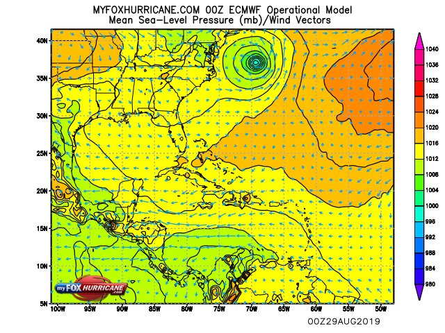
0Z 8/21 ECMWF Model Run valid for next Wednesday (8/28) evening.
6Z 8/21 GFS Model Run valid for next Wednesday (8/28) evening.
Historically speaking, about two thirds of all activity in the Atlantic occurs between August 20 and October 10. The season is young.