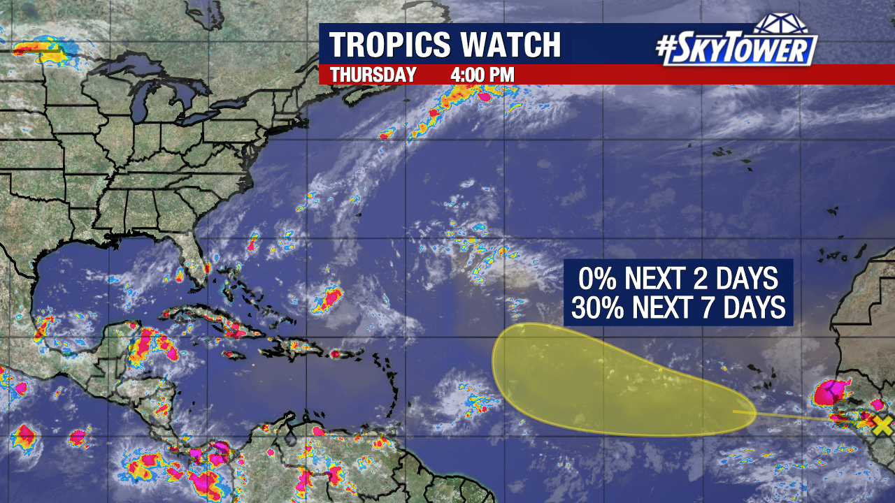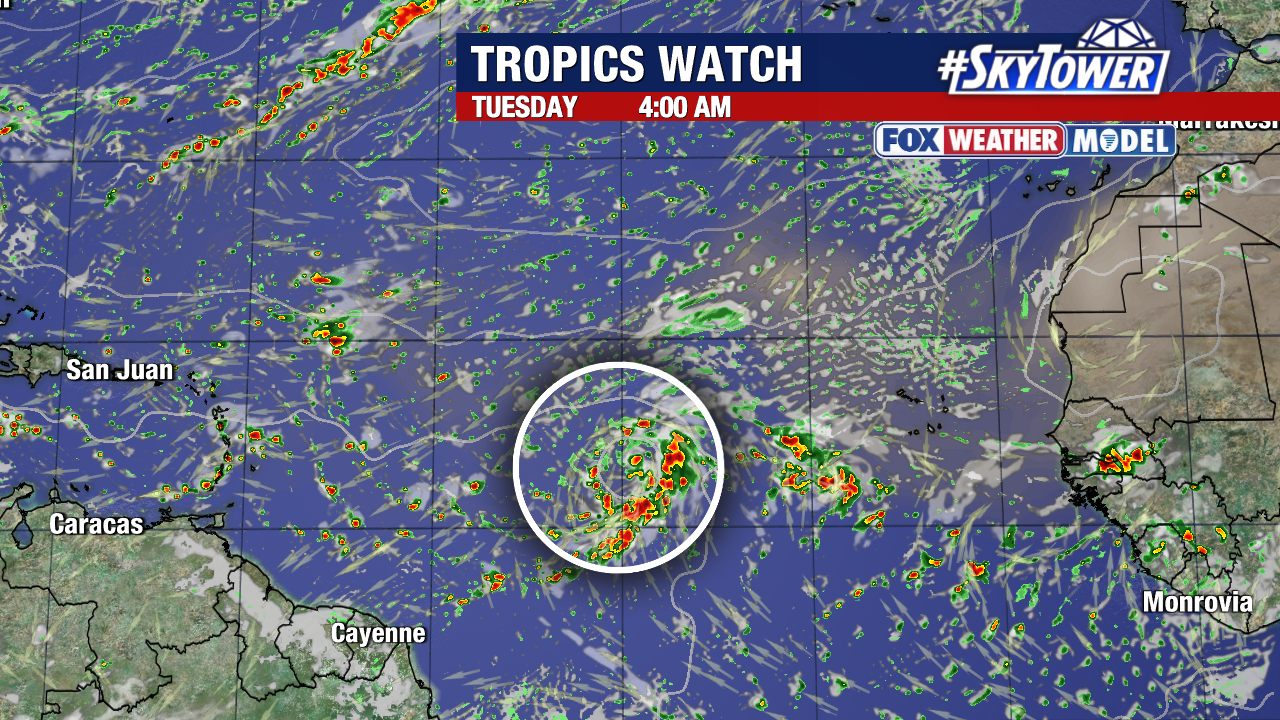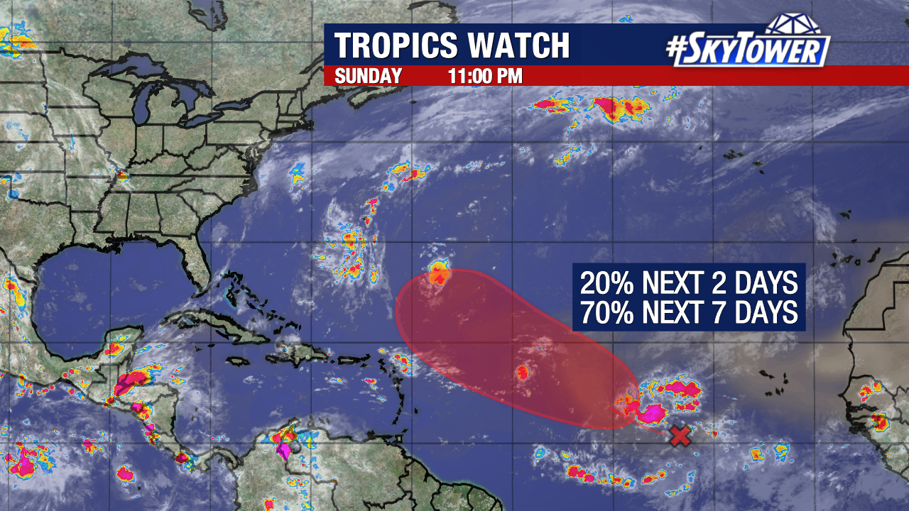
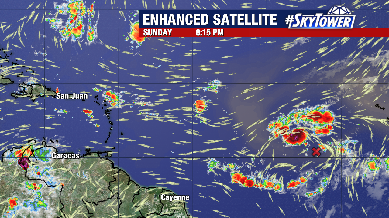
Odds are gradually increasing for a tropical wave near the Cabo Verde Islands to develop into a tropical depression or tropical storm by the middle or end of next week. The National Hurricane Center has now given the disturbance a 70% chance of formation within the next week.
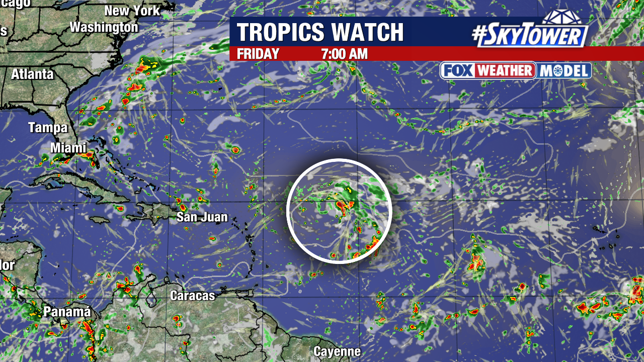
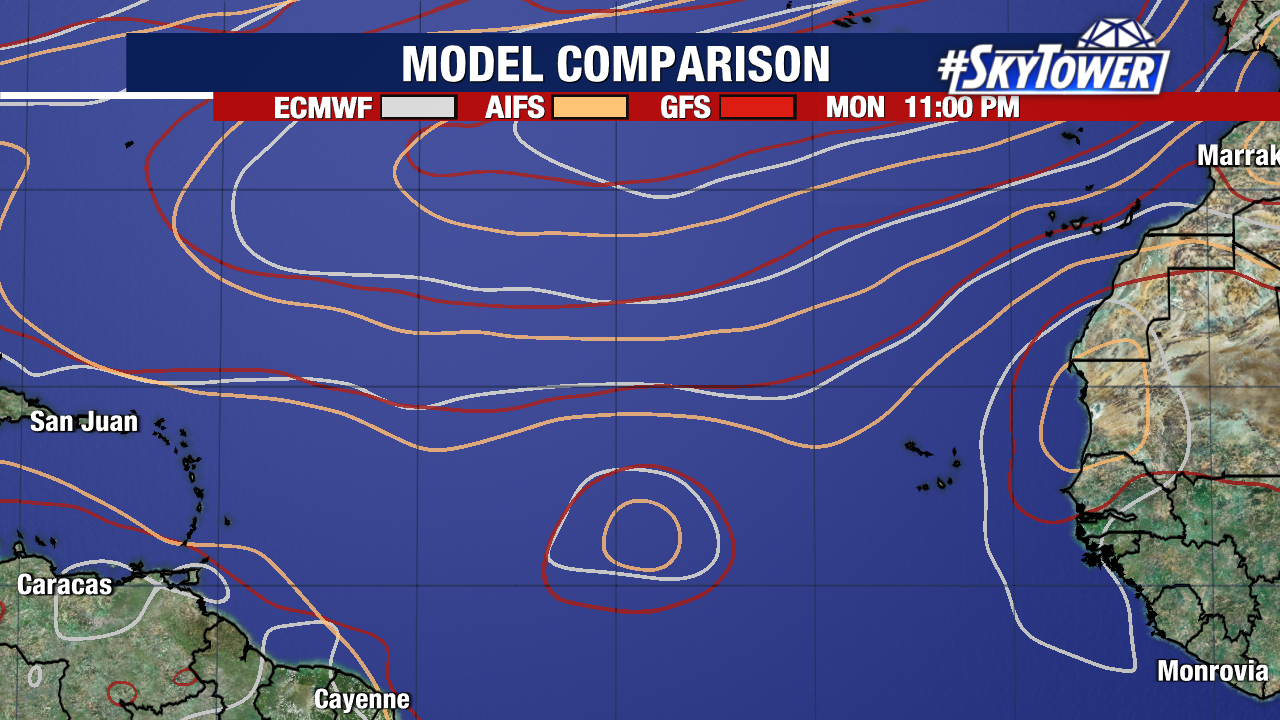
The majority of our weather models, including the Fox Weather Model, now show this system organizing later this week.
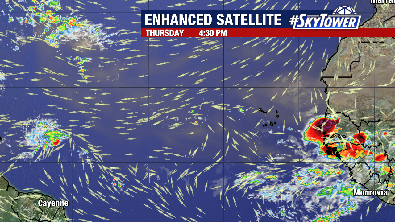
Dry, stable air is limiting its development in the short term.
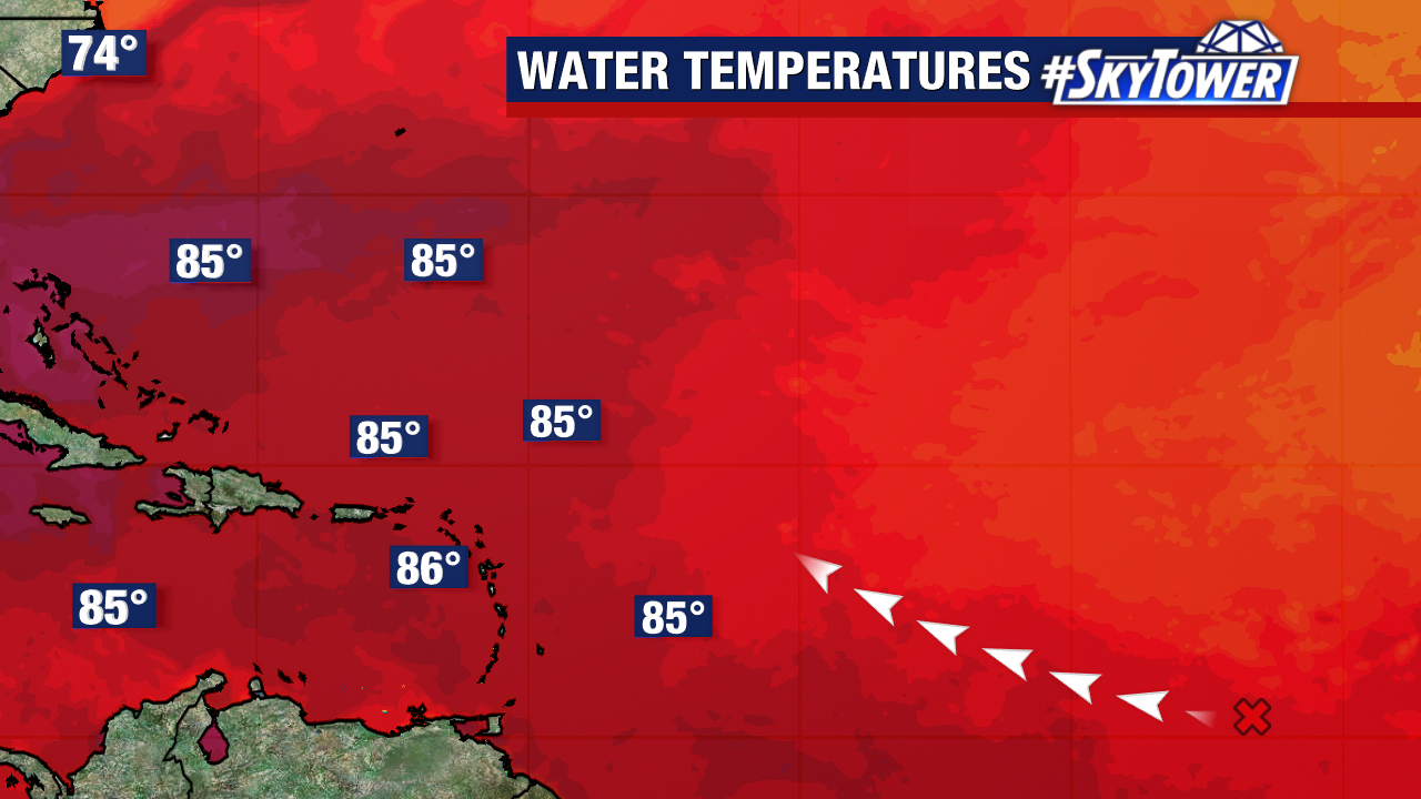
Warmer waters and reduced wind shear lie ahead of the disturbance. Early indications suggest a weakness in high pressure to its north would likely steer anything that develops northward and away from Florida. Our weather models will become more reliable once, or if, this system forms.
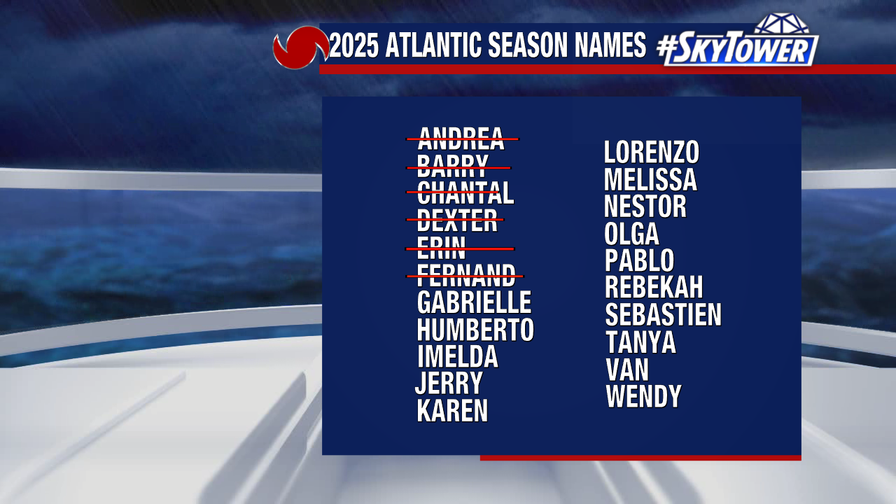
“Gabrielle” would be the next name used from our 2025 storm naming list.