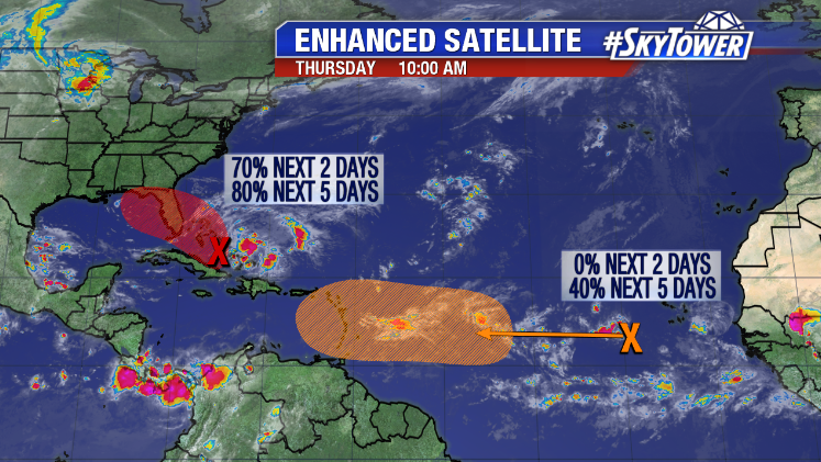
A large area of showers and storms over parts of the Bahamas this morning is gradually becoming more organized. It’s quite possible a tropical depression or tropical storm will form within the next day or so as conditions become more favorable. Hurricane Hunters are scheduled to investigate this disturbance later today. Depending on their findings, ‘Potential Tropical Cyclone’ advisories could be initiated. This is a term used to describe a disturbance that is not yet a tropical cyclone, but which poses the threat of bringing tropical storm or hurricane conditions to land areas within 48 hours.
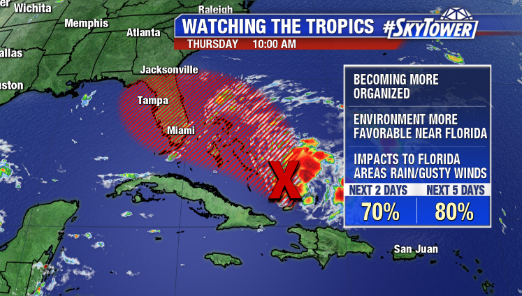
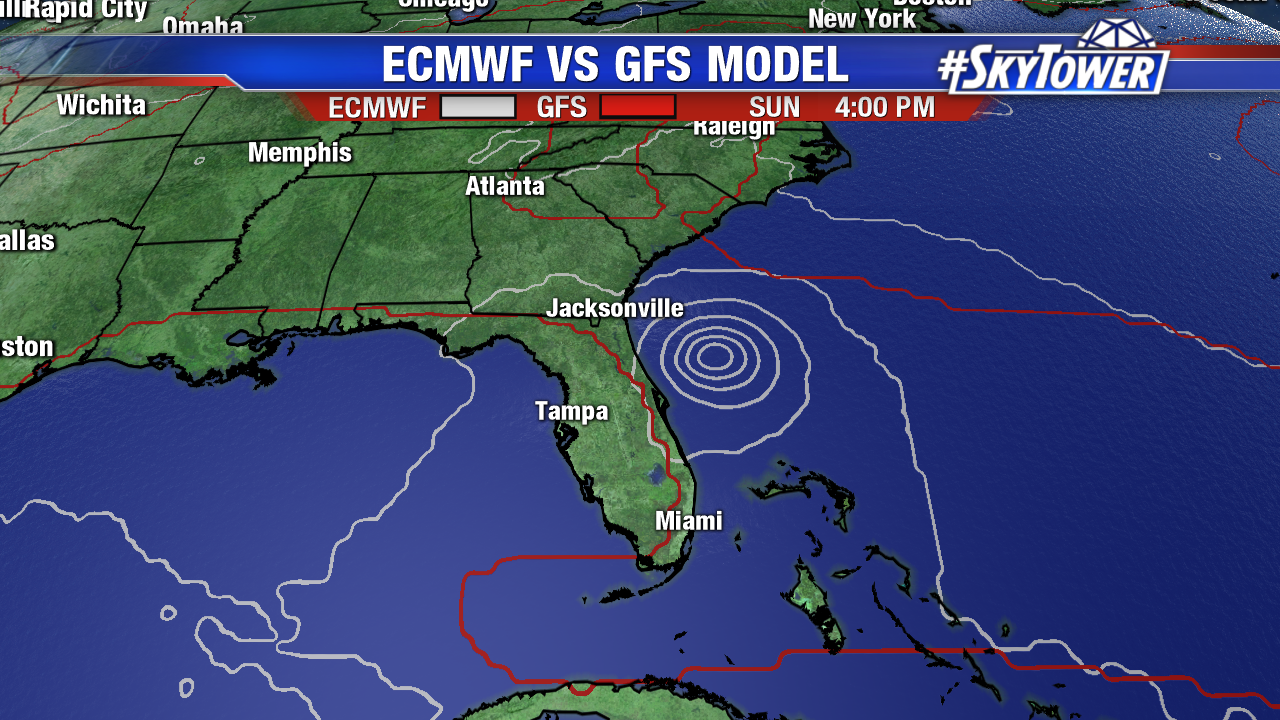
Periods of heavy rainfall and gusty winds are expected across most of the Bahamas through Friday, including those areas hit extremely hard by Dorian less than 2 weeks ago. Beyond that, the forecast is highly uncertain. This is often the case when dealing with an area of disturbed weather in the tropics, because a low-level center has yet to form. Until that happens, it’s tough to lend much credence to any model solutions. As of Thursday morning guidance, the GFS continued to show a weak system moving west-northwest across Florida. This would enhance rain chances across Florida and the Gulf Coast, but not do much else. The early morning Euro model run on the other hand develops this into a tropical storm, if not a hurricane, moving through parts of the Bahamas and north, just off the East Coast of Florida. Again, until this organizes a bit more and models can lock on to a center, there’s going to be some forecast uncertainty. We’ll see what the Hurricane Hunters find later today and bring you an update then.
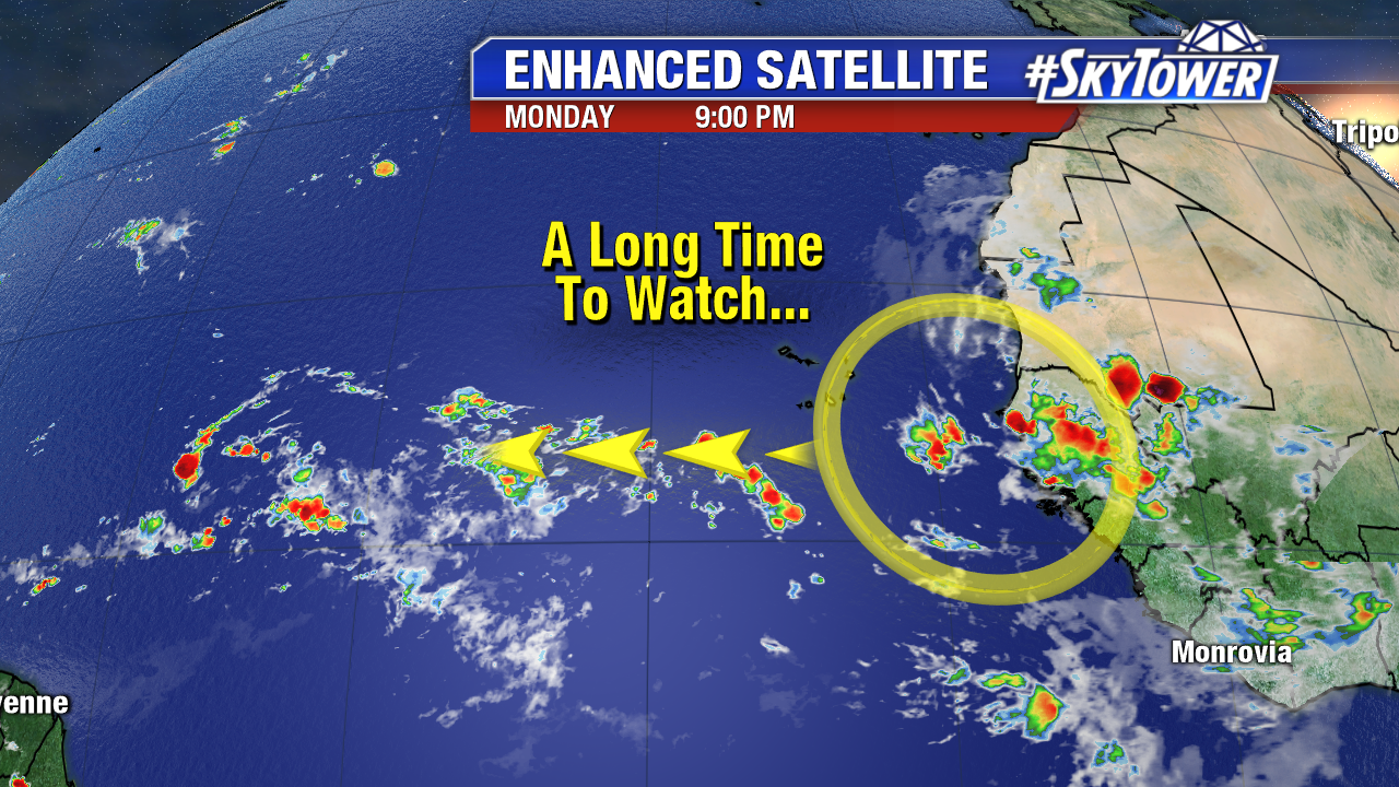
While this disturbance is the focal point right now, there’s also a tropical wave out in the Atlantic that will likely be one to watch down the road. For now, it’s a long way away.