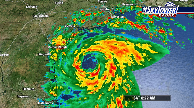
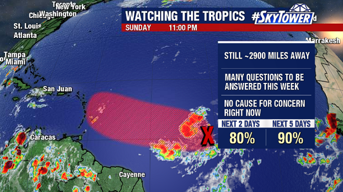
The fast-paced 2020 hurricane season rolls on. This week we’ll be keeping a close eye on Invest 92L – likely to become our next named storm – as it nears the Caribbean. The next name on the list? Isaias [ees-ah-EE-ahs].
The bottom line right now is that this is still a few thousand miles away, and we have several days to watch it. In the United States there is no cause for concern yet.
It’s always tough to lend much credence to any model output until a storm actually forms. That being said, at the moment there does seem to be some consensus for a track near, or just north of the northern Caribbean Islands. In that scenario, a northward turn out to sea before reaching the U.S. becomes more likely.
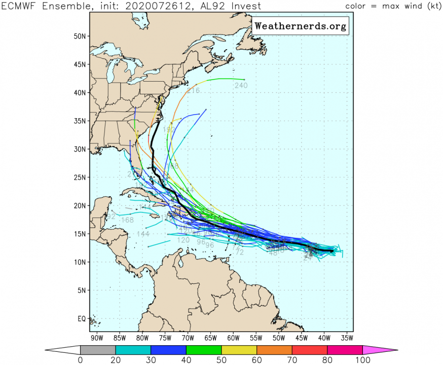
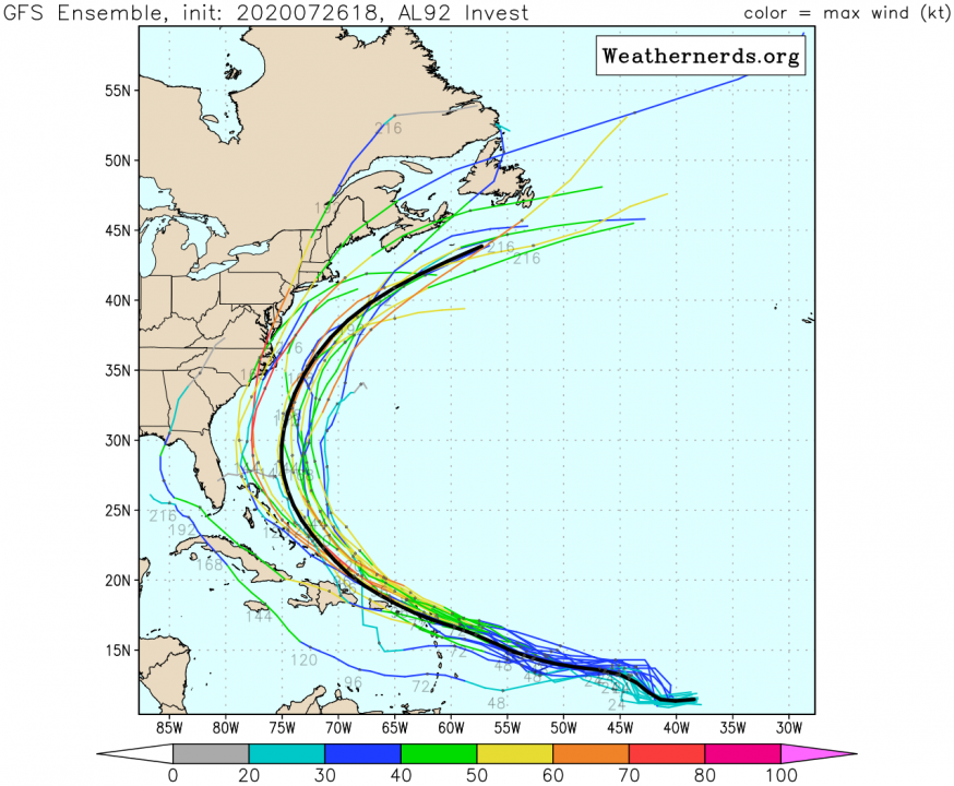
The quicker the system develops in the next few days, the more northern track it’s likely to take. If it takes its sweet time to get organized, it’s likely to take a more southern track through the Caribbean Sea. We’ll check back in a couple days and go from there.