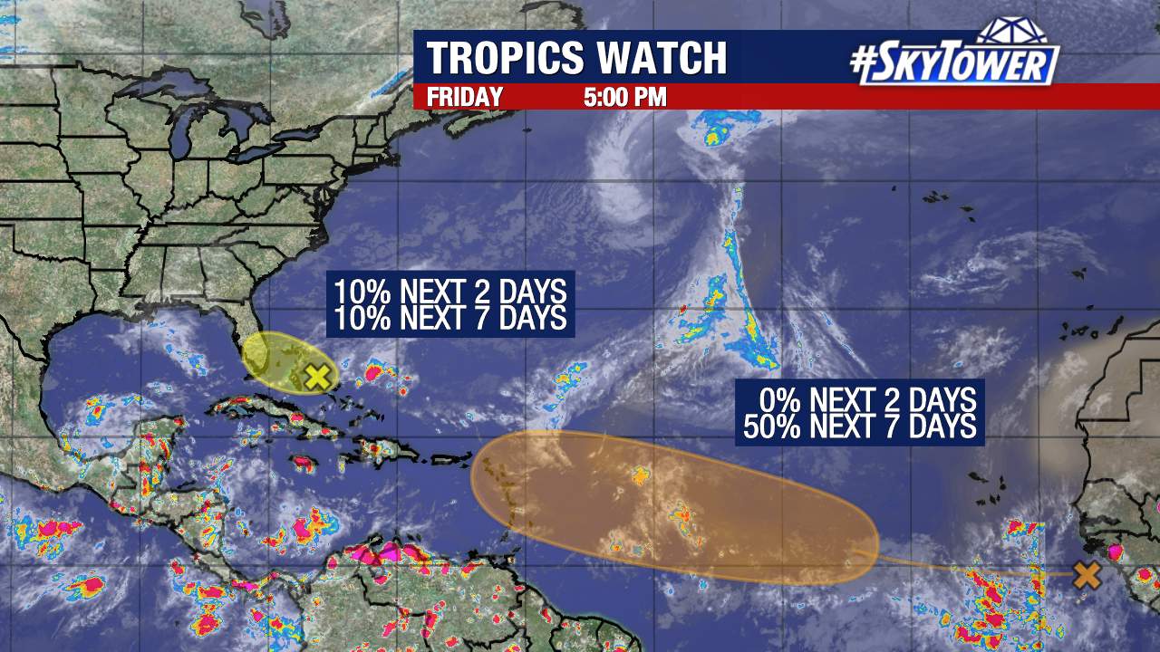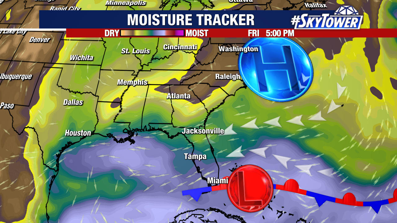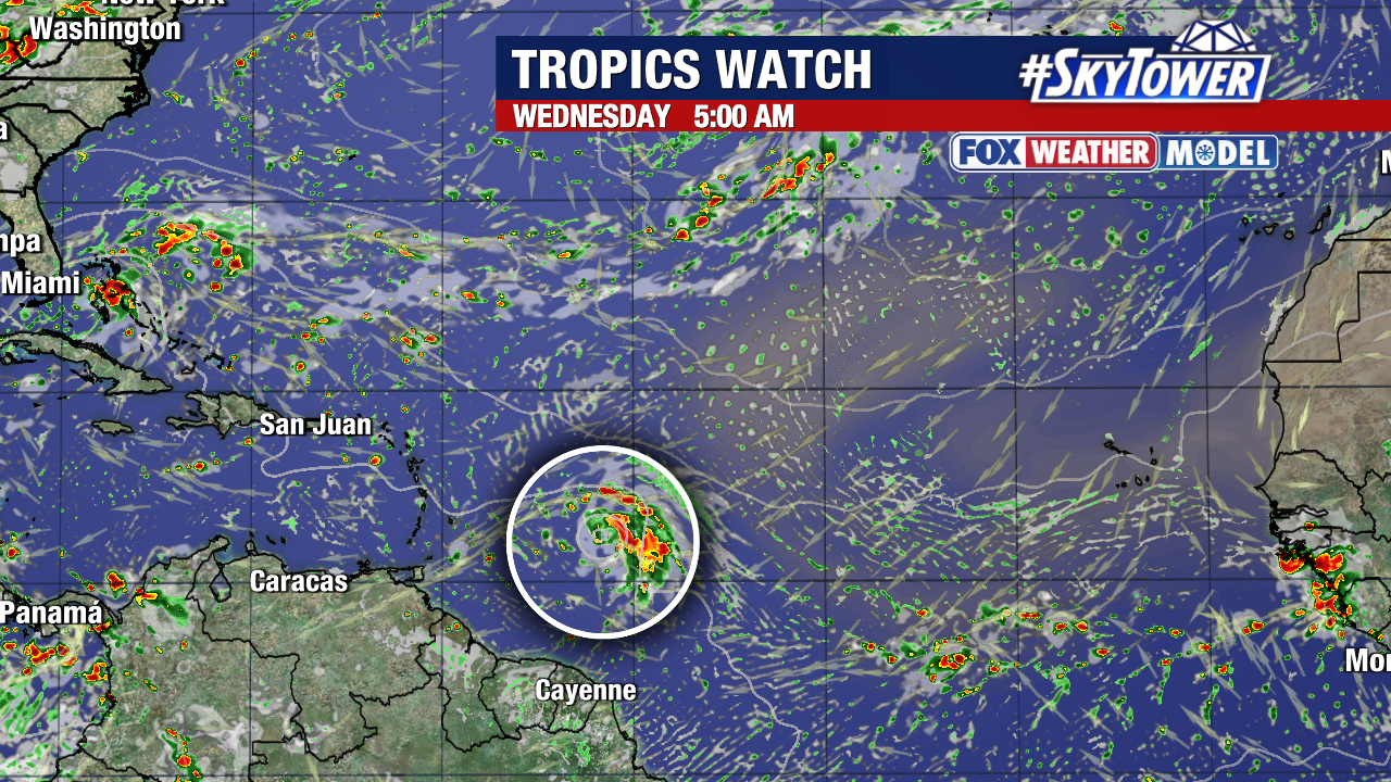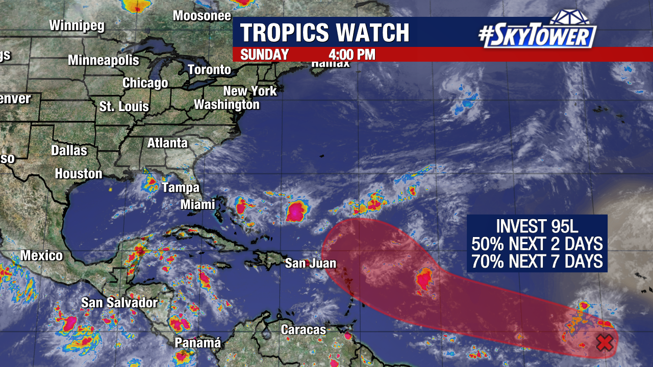
The signal for a tropical depression or tropical storm to develop in the central tropical Atlantic continues to climb. There is now a high (70%) chance of formation assigned to Invest 95L, with a 50% chance that formation could occur early next week.
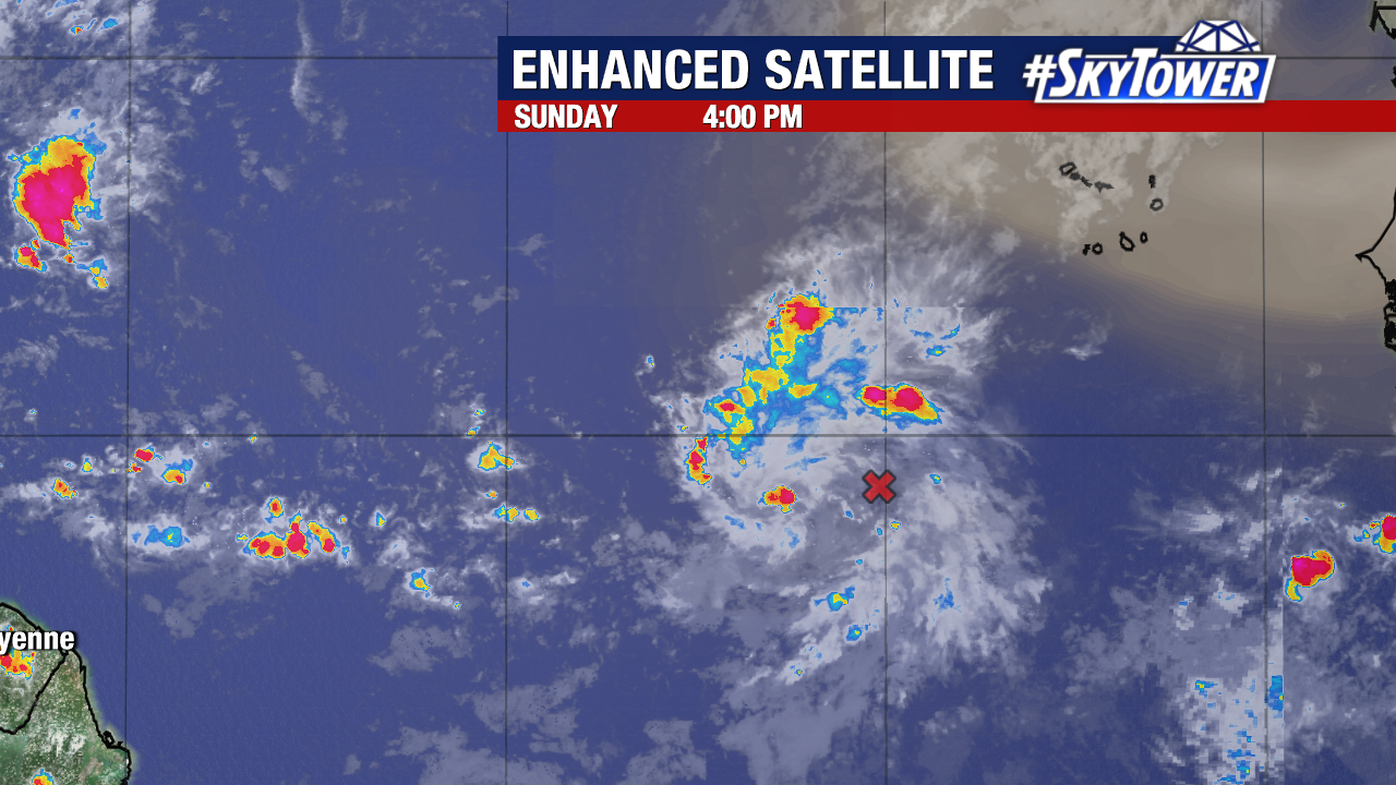
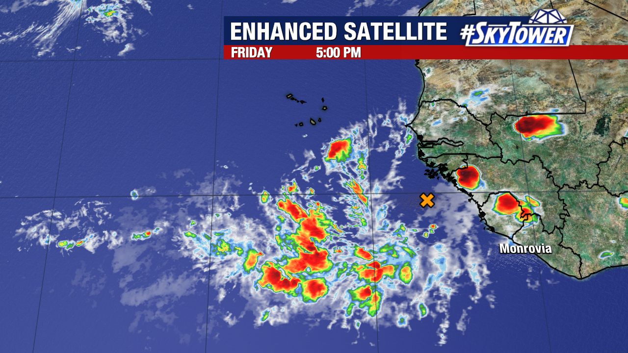
Invest 95L is a broad area of low pressure with an impressive cluster of thunderstorms surrounding it. As it travels west, the environment around it will become increasingly favorable for organization.
The Lesser Antilles should monitor the disturbance carefully over the next few days.
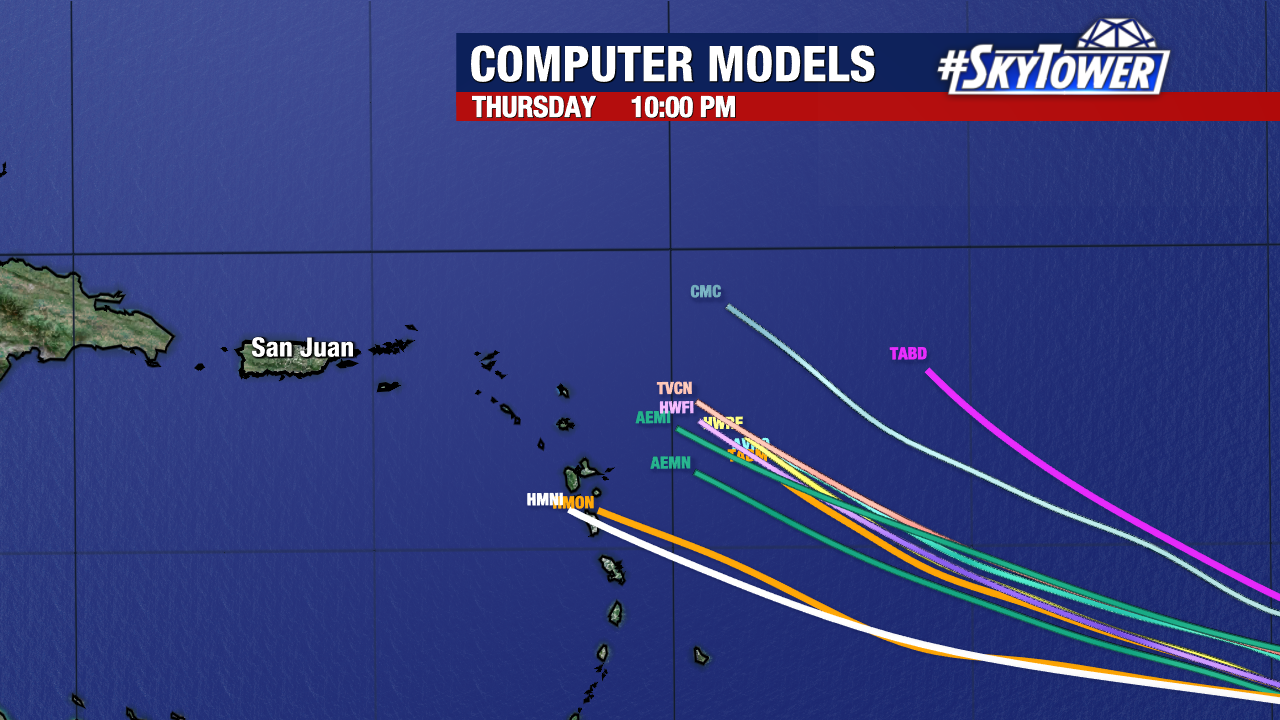
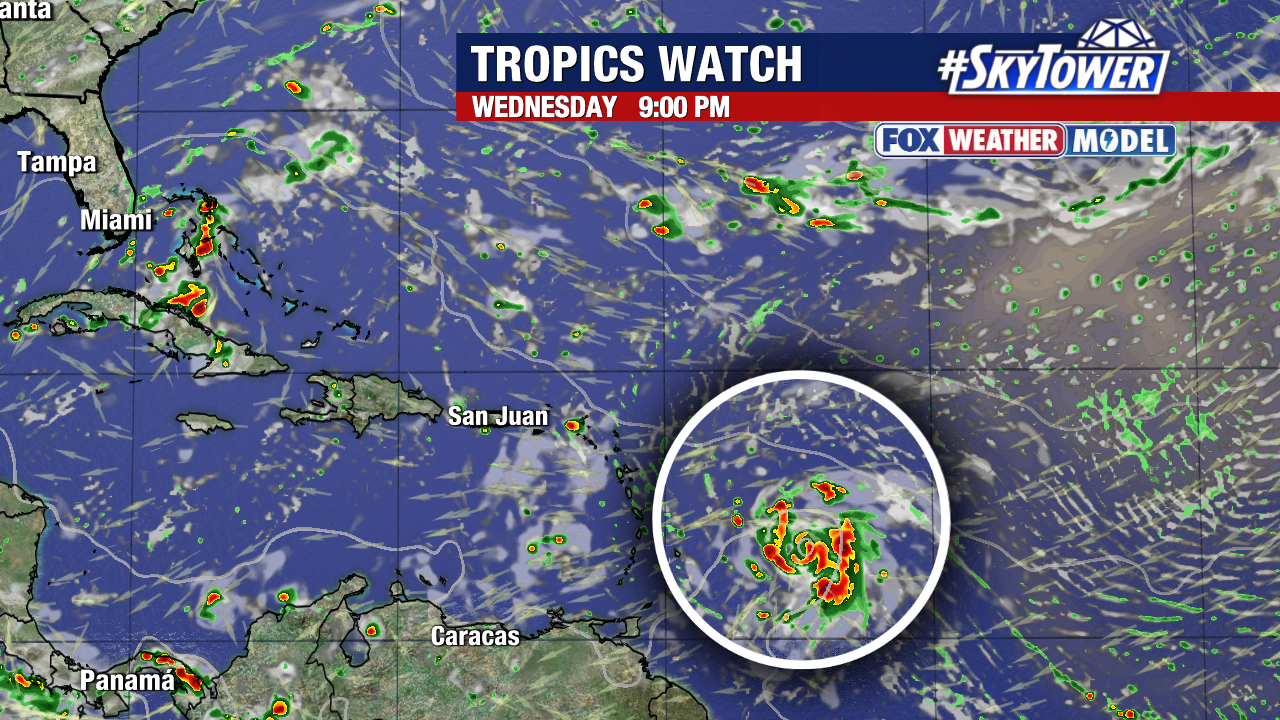
The majority of weather models bring the wave near or over the islands late next week. Several of those same models eventually strengthen it into a hurricane next week.
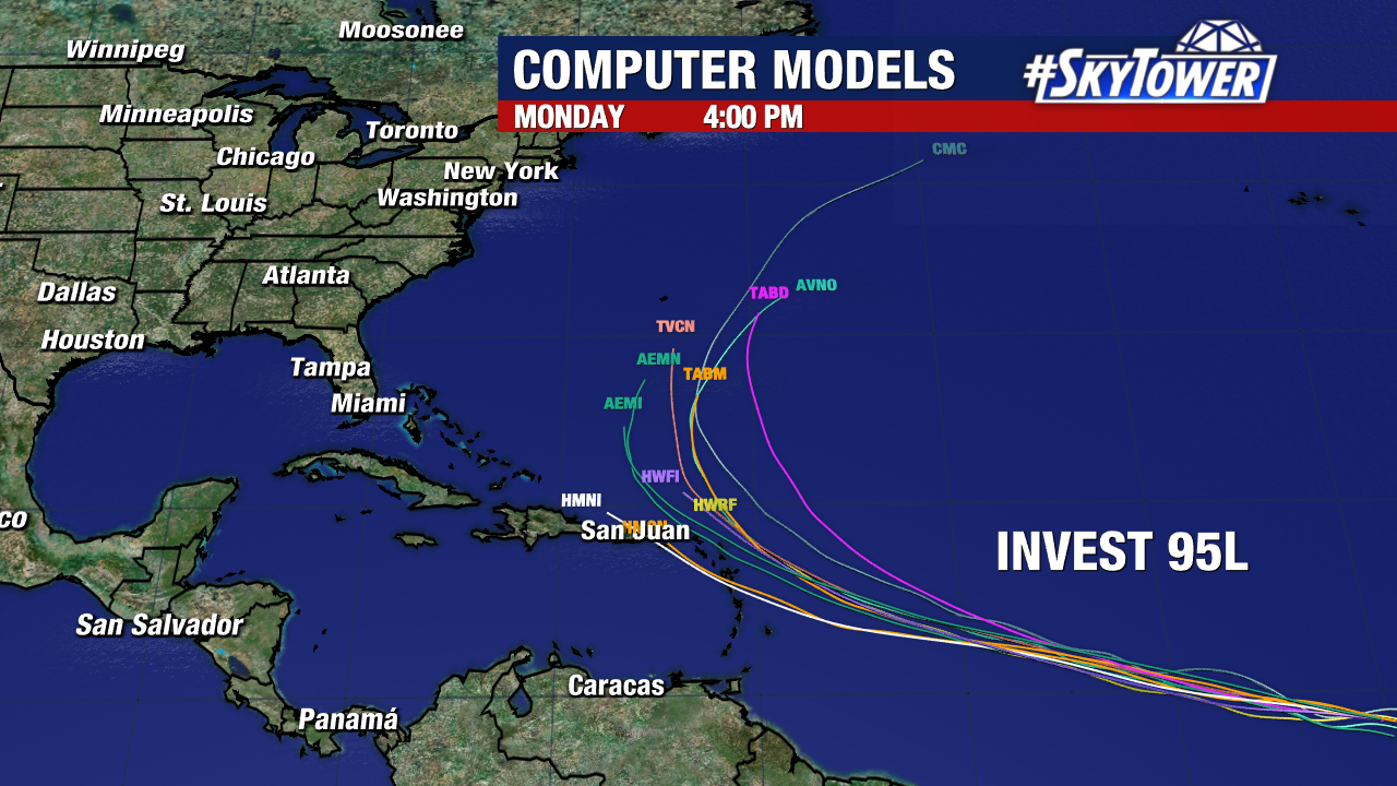
Early indications suggest that, if it forms, upper level steering would eventually curve this system away from the United States. It is still just the beginning of the system’s forecast period, so shifts and adjustments in the expected track will be possible.
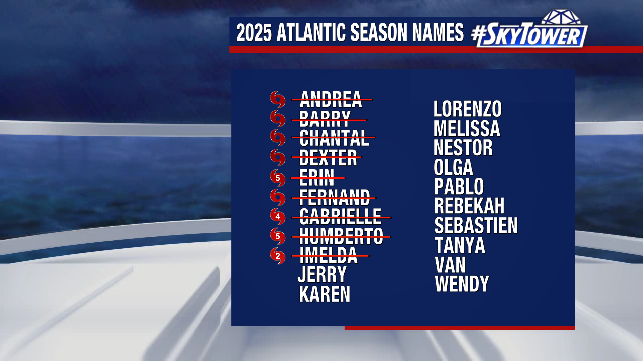
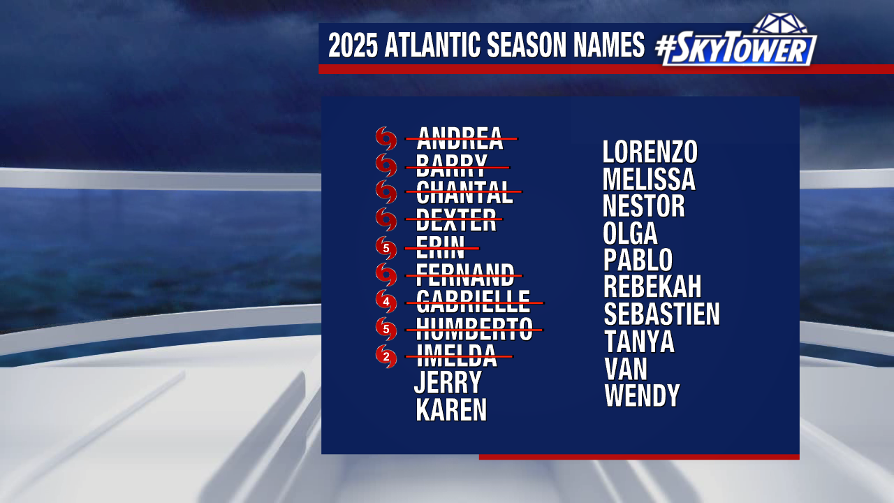
The next name on the 2025 storm naming list is “Jerry”.