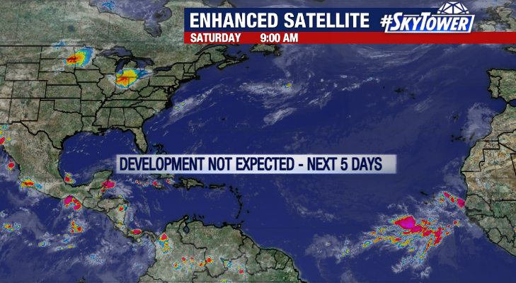
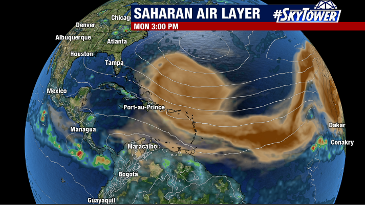
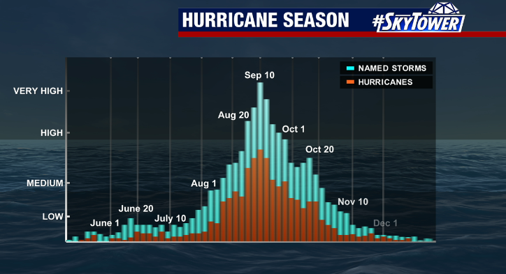
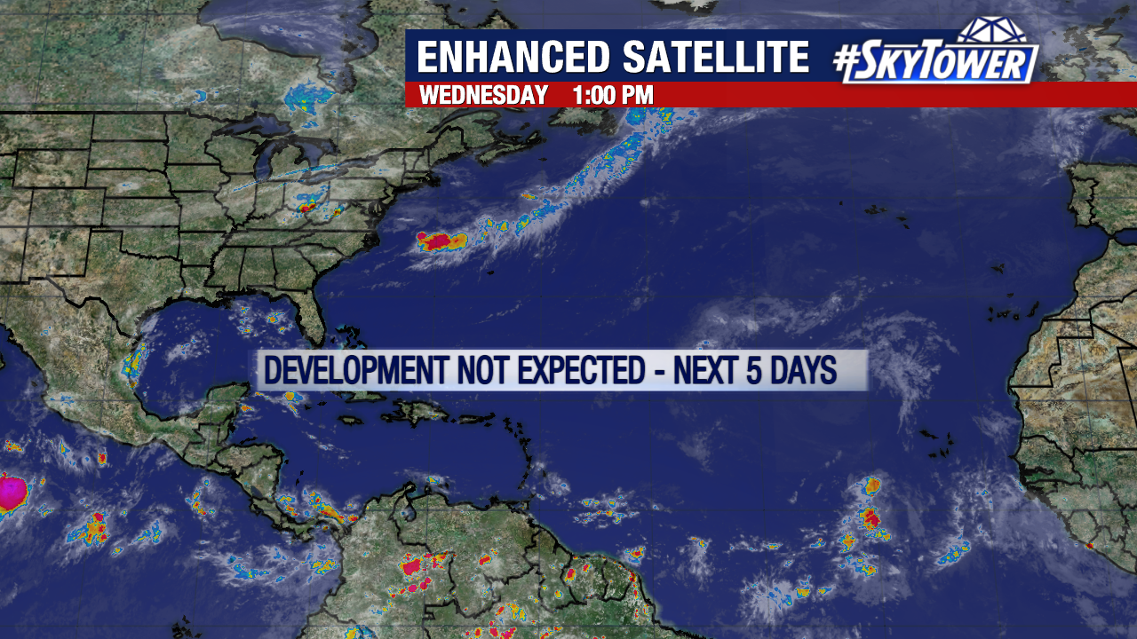
It’s been about four and a half weeks since we last had anything meaningful to track in the Atlantic. Large plumes of Saharan dust, pockets of high wind shear, and even below normal sea-surface temperatures in spots can be thanked for this long quiet stretch. That’s great news, but at the same time we can’t lose sight of the the fact that the most active part of the hurricane still lies ahead.
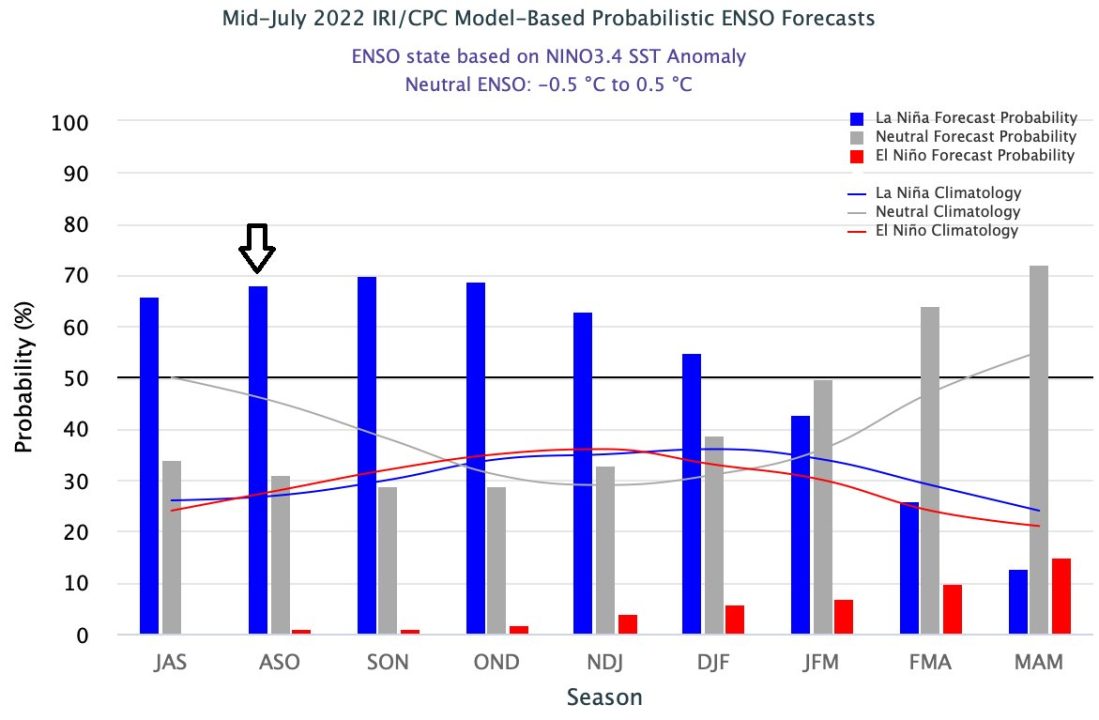
While it’s likely to stay quiet for at least the next week or two, there are factors in play which could certainly lead to the peak months of the season being more active than normal – most notably the likelihood (65-70% probability) of a gradually strengthening La Niña. La Niña is typically associated with lower than normal levels of wind shear across the Atlantic. This would be three straight years of La Niña conditions during peak hurricane season, which is actually pretty rare.
At the end of the day, nothing changes in how you should prepare. It’s simple, have a plan in place for you and your family that covers all the bases, and you can rest easy whether or not something comes our way.