Erin Re-strengthens; Tracking Another Tropical Wave

Hurricane Erin has reorganized into a Category 4 storm tonight and has gradually grown in size over the past few days.

There has been no significant change to its projected path. The storm’s center is expected to pass several hundred miles east of Florida before curving northeast, keeping its core entirely offshore of the U.S. East Coast.

Even without a direct hit, Erin’s close pass will generate life-threatening rip currents and powerful swells along much of the Eastern Seaboard. Mandatory evacuations have been ordered for parts of Hatteras Island, North Carolina, where 15–20 foot breaking waves are anticipated.

Tropical Storm Warnings remain in place for the Turks and Caicos Islands and parts of the Bahamas. Flood Watches also continue for Puerto Rico and the U.S. Virgin Islands.

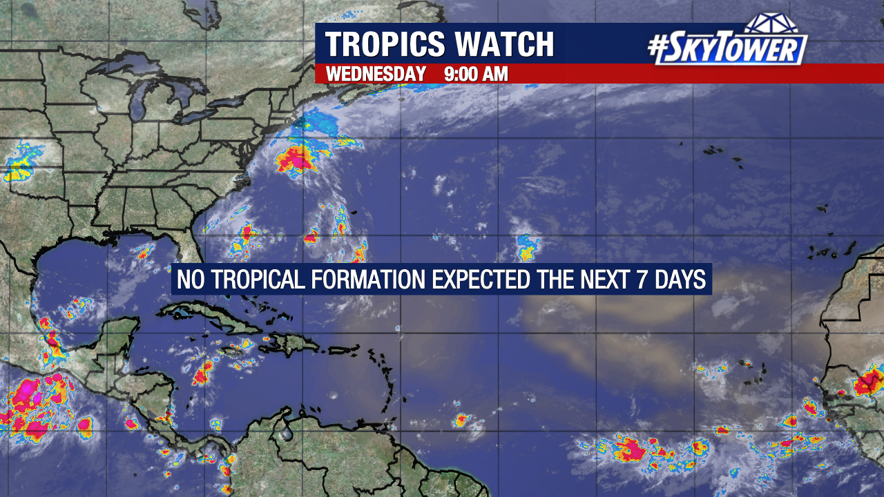
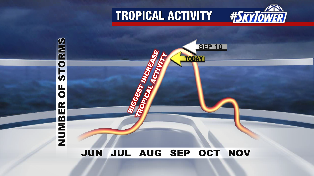
Meanwhile, a tropical wave in the central Atlantic is showing increasing signs of development. The National Hurricane Center now gives it a 40% chance of formation within the next 7 days.

It is far too early to know its potential path. The disturbance is still more than 3,000 miles away, giving us plenty of time to monitor its progress.

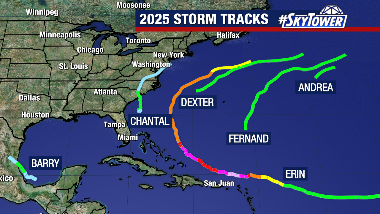
The next name on this year’s Atlantic storm list is Fernand.

Hurricane Erin passing Caribbean Islands as Category 3 storm

Hurricane Erin peaked at Category 5 strength Saturday after undergoing an eyewall replacement cycle.

Erin is now a Category 3 hurricane with outer rainbands producing gusty winds and heavy rains across the Virgin Islands, Puerto Rico and the Dominican Republic.

Sustained winds are 125 mph as the storm moves west-northwest at 14 mph. A Tropical Storm Warning is in effect for the Turks and Caicos with a Tropical Storm Watch covering the SE Bahamas.

Erin’s core is expected to pass east of the Turks and Caicos Islands and southeastern Bahamas tonight and Monday. The storm is still forecast to make a gradual turn to the north Monday and Tuesday, staying east of the Atlantic Coast.

Some fluctuations in intensity are likely the next few days with the forecast calling for Erin to reach Category 4 strength early this week as it passes off Florida’s East Coast.

The steering is solid as Erin follows a weakness in high pressure which will guide it north and back out to sea near/north of Bermuda.

Erin is a smaller storm with hurricane-force winds only extending about 25 miles out from the storm’s center. Main impacts will come from the outer bands, which could produce up to 8″ of rain across the Virgin Islands and Puerto Rico. Local flooding and mudslides are possible for the islands.

Dangerous swells and rough seas will spread to the Bahamas, Bermuda and up the Atlantic Coast this week as Hurricane Erin parallels the coast as a strong storm.

Wave heights between 5-10′ are likely along Florida’s east coast early to mid-week.

Erin is expected to pass between North Carolina and Bermuda with outer rainbands and rough seas impacting these area during the middle and end of this week.