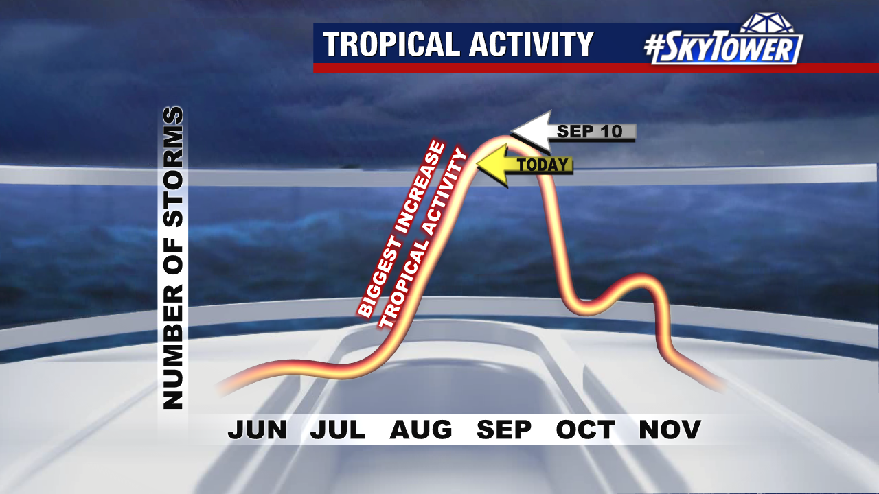
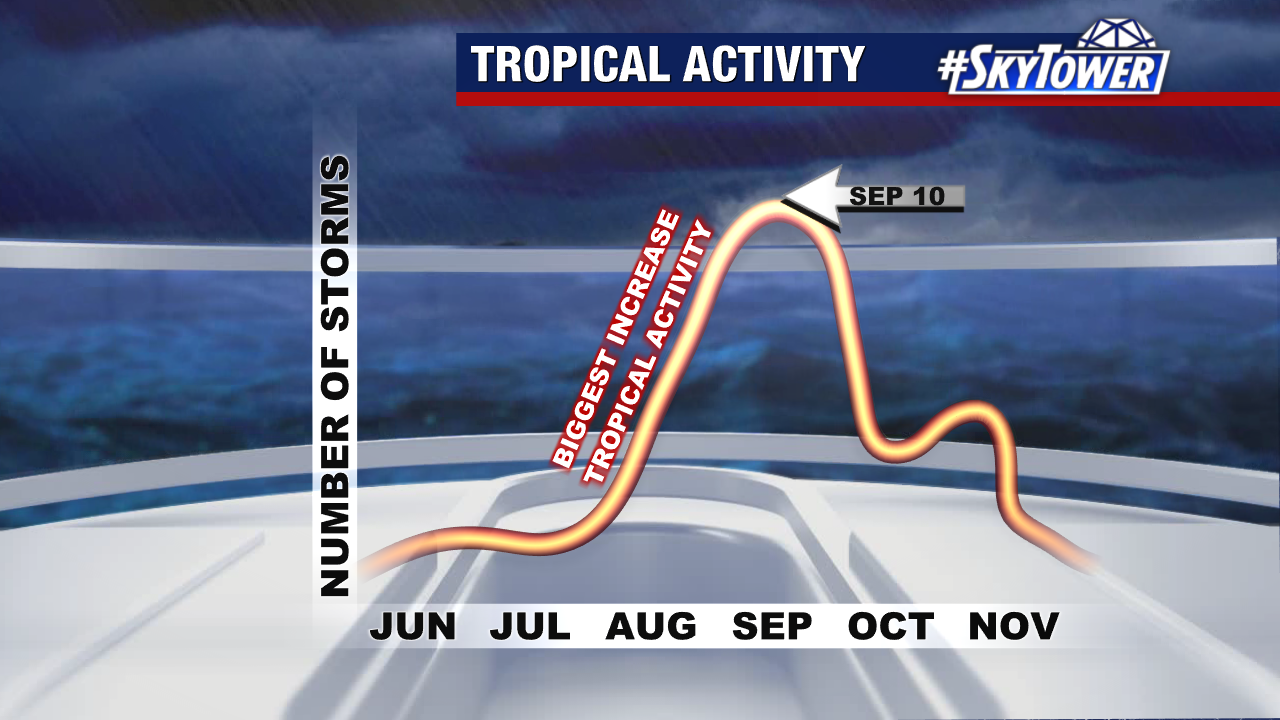
September 10 is the statistical peak of the Atlantic hurricane season. While it’s unusual to have no named storms across the basin, we’ll enjoy the calm stretch.
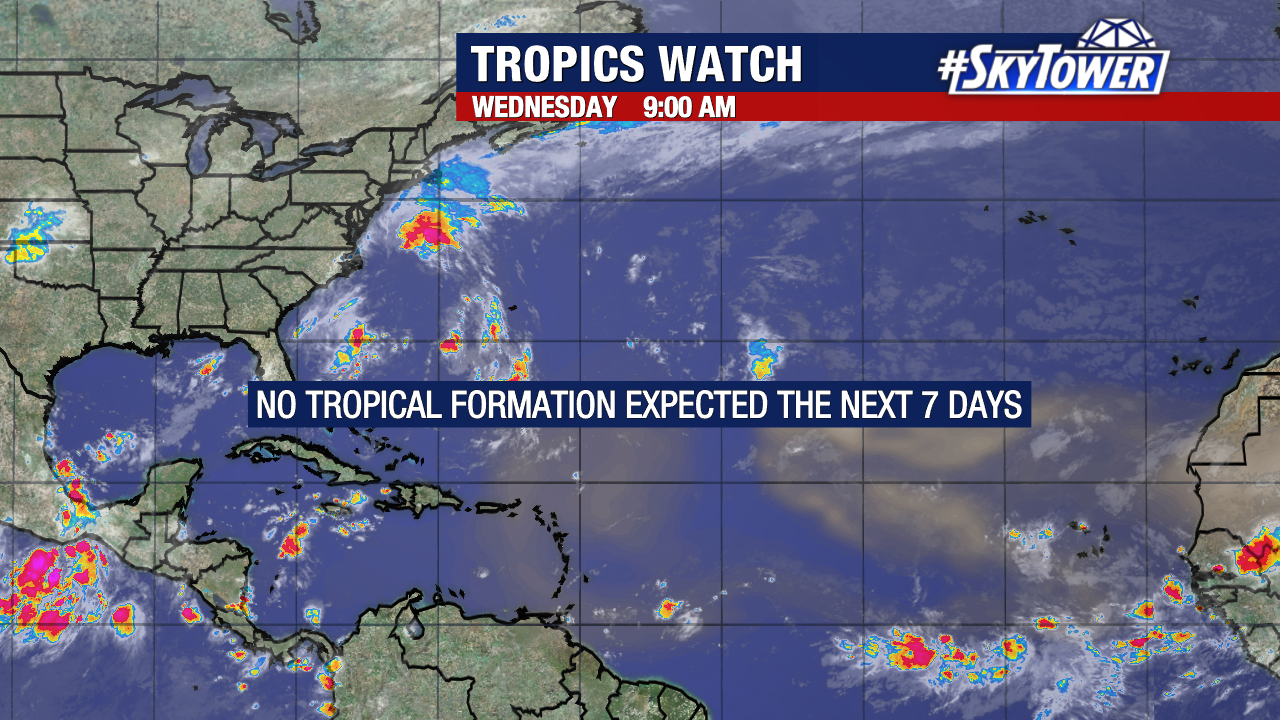
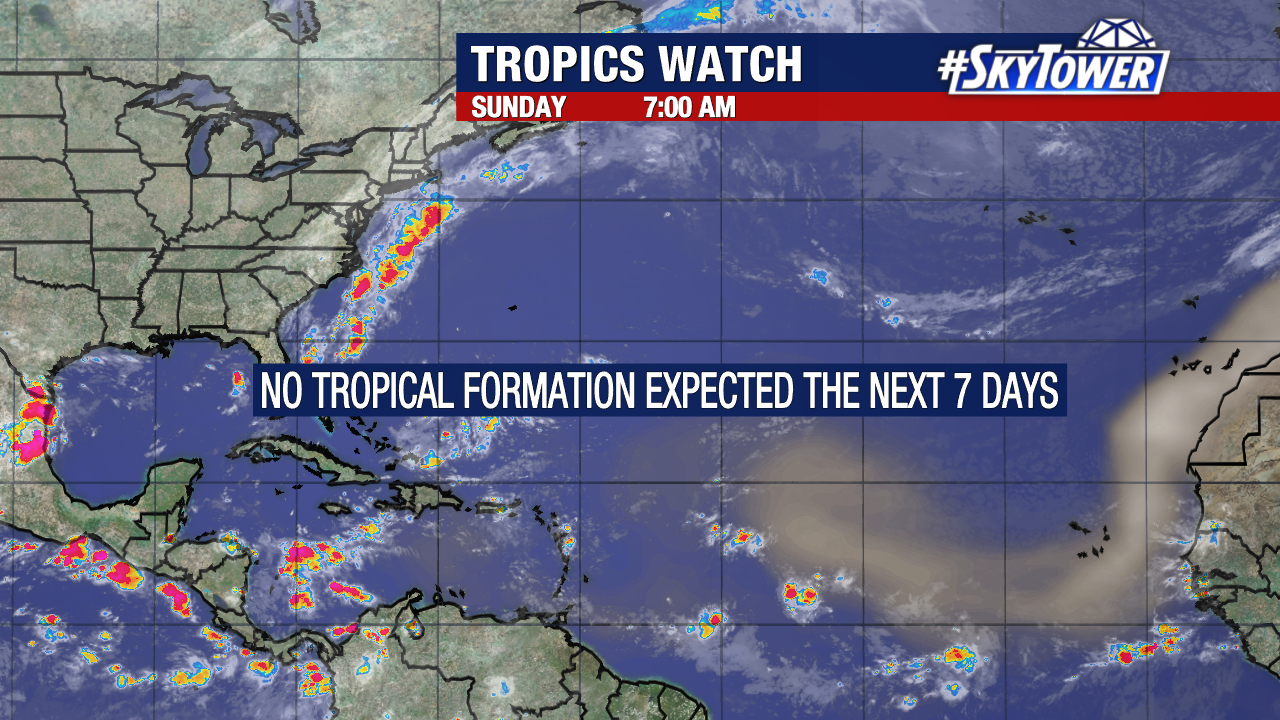
There are no areas of interest in the Atlantic and signs point for that to continue through the next week or so.
Each season is unique and this one is living up to the title. It’s the first season since 2008 without a single area of interest or named storm on September 10.
There’s still about 58% of the season ahead of us so we will we watch things closely.
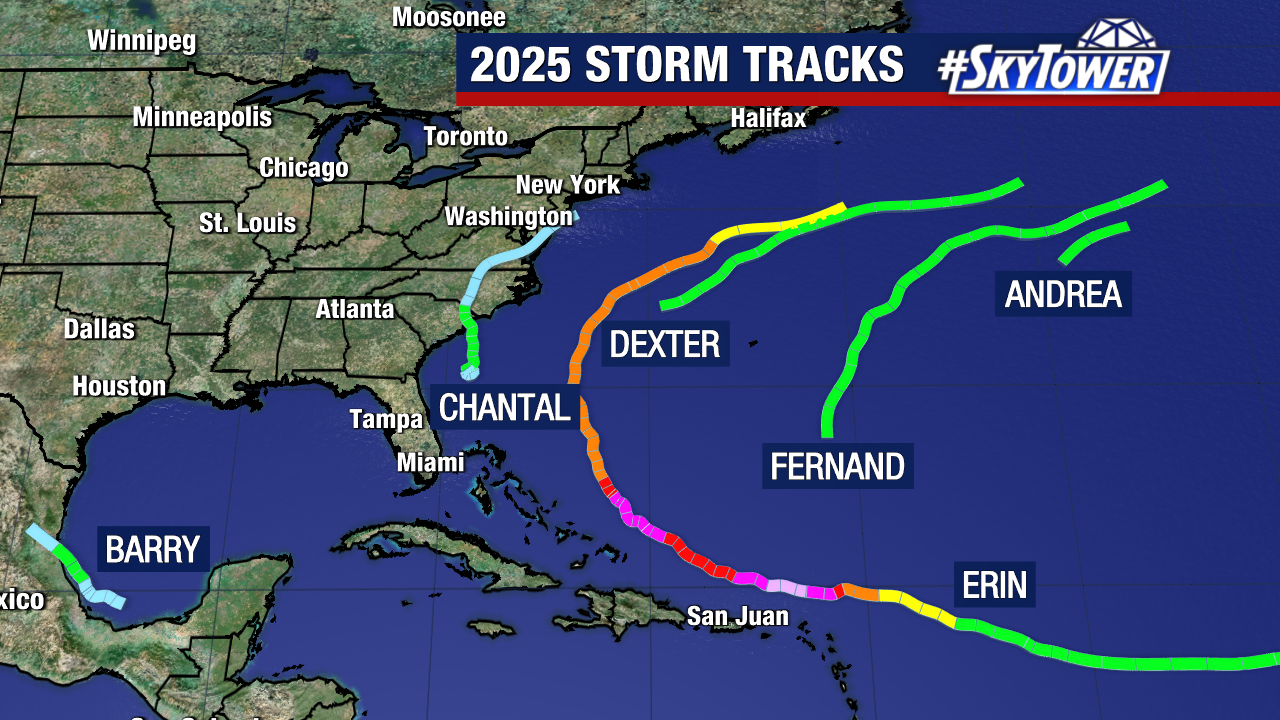
Here’s where we stand so far this season: 6 named storms and 1 hurricane. Hurricane Erin is the only tropical Atlantic storm and it became a Category 5 just north of the Caribbean.