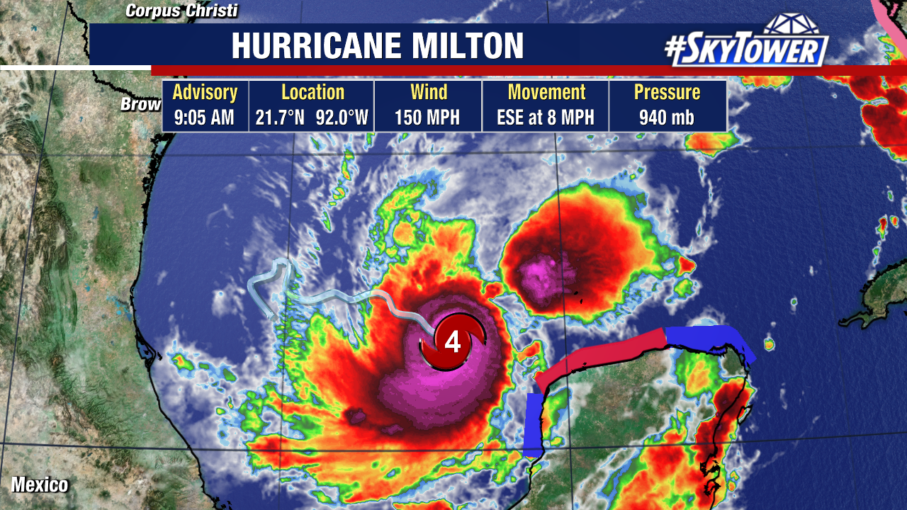
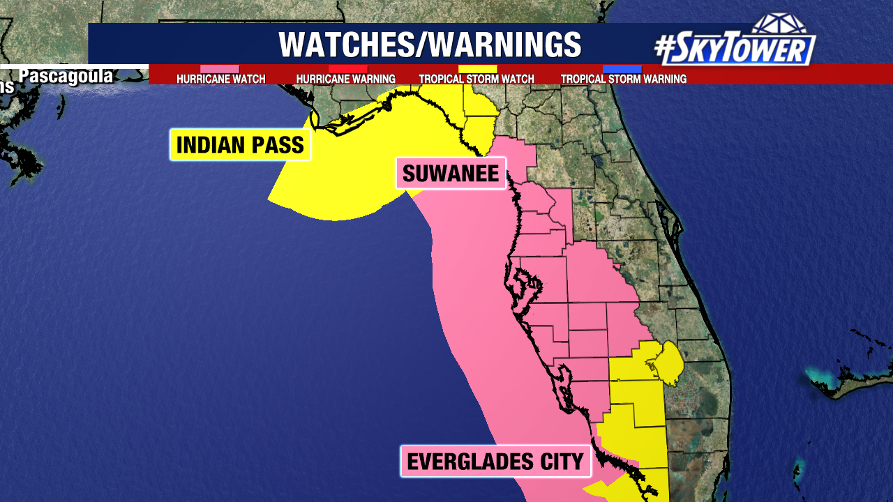
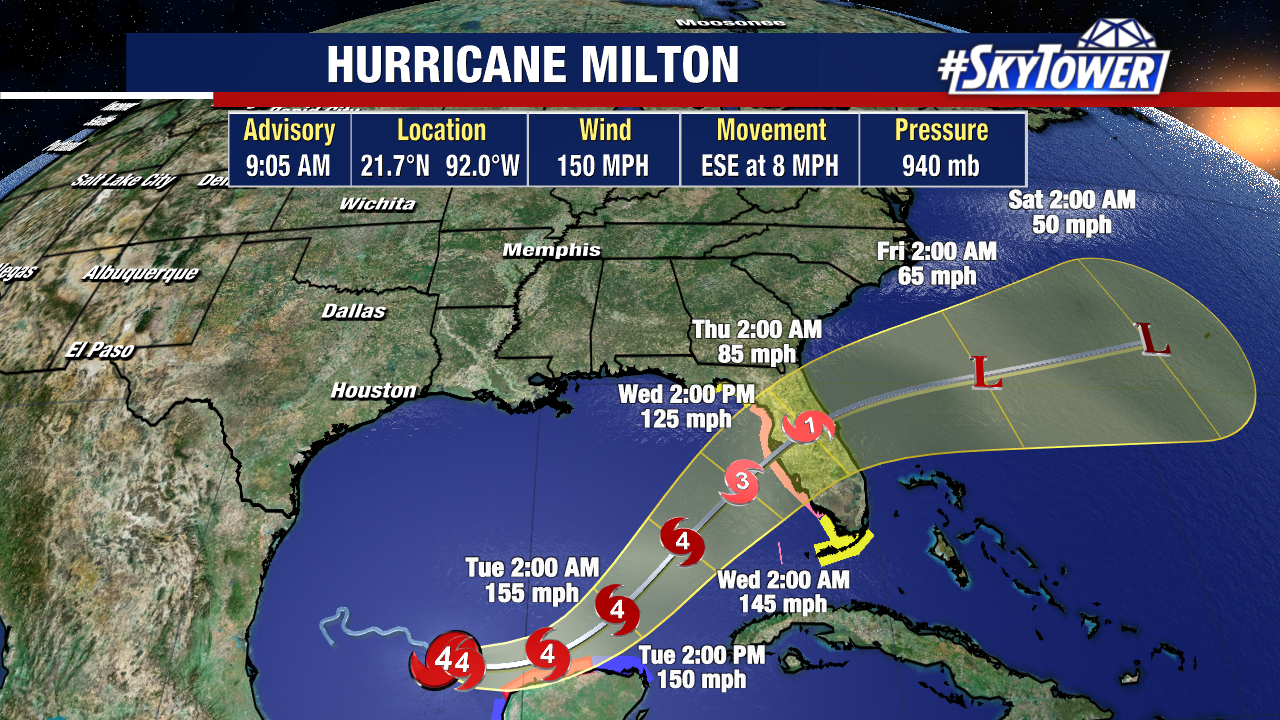
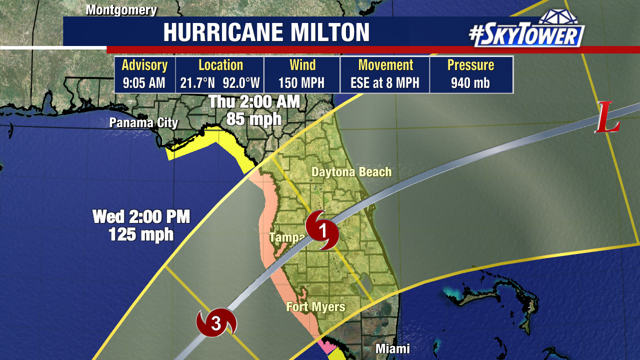
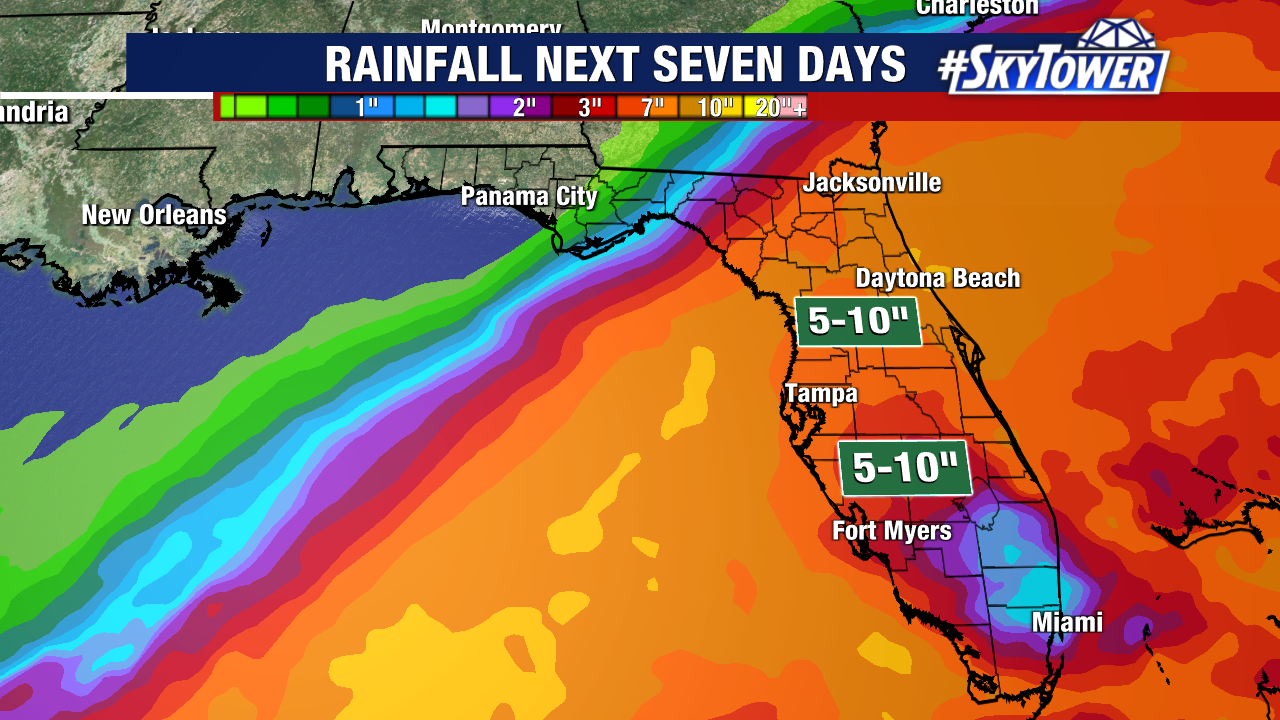
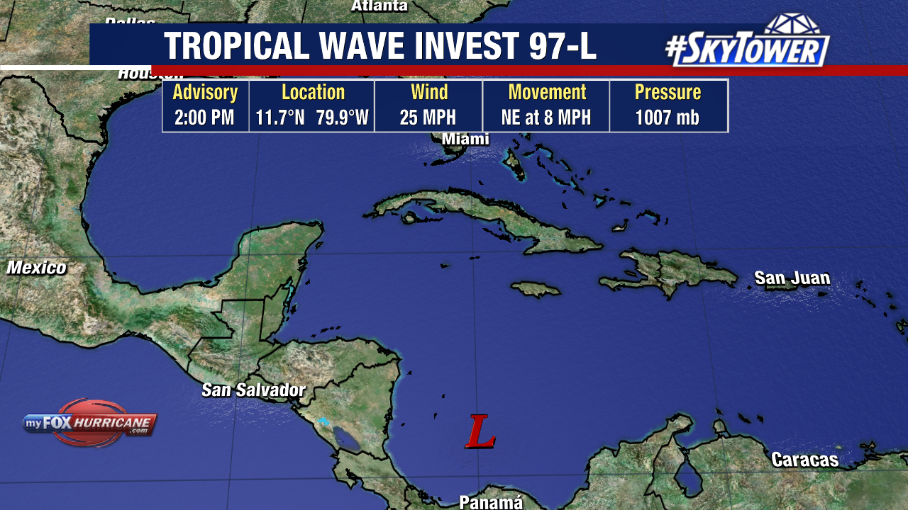
The odds are high for a system in the Caribbean to strengthen within the next few days. The area is now designated Invest 97L by the National Hurricane Center.
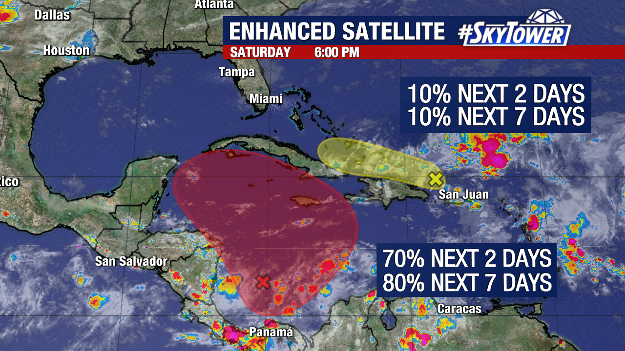
The NHC has upgraded the chances to 80% that this forms over the next 7 days. There’s also a high chance it could develop by the end of this weekend.
The broad low pressure area in the central Caribbean is currently just producing disorganized storms. Sustained winds are 25mph.
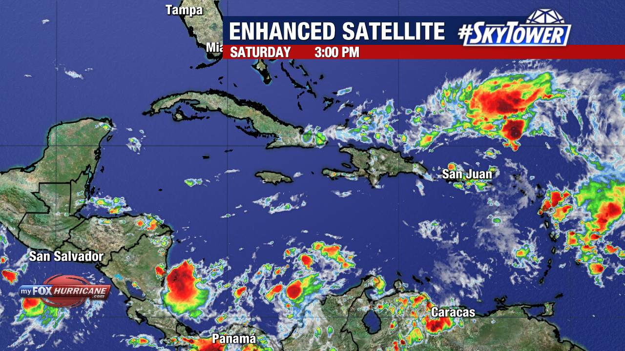
The other area of interest just north of Puerto Rico and Hispaniola has much lower develop odds. Slow development is possible over the weekend, but this area is likely to be absorbed by the stronger tropical wave to its south.
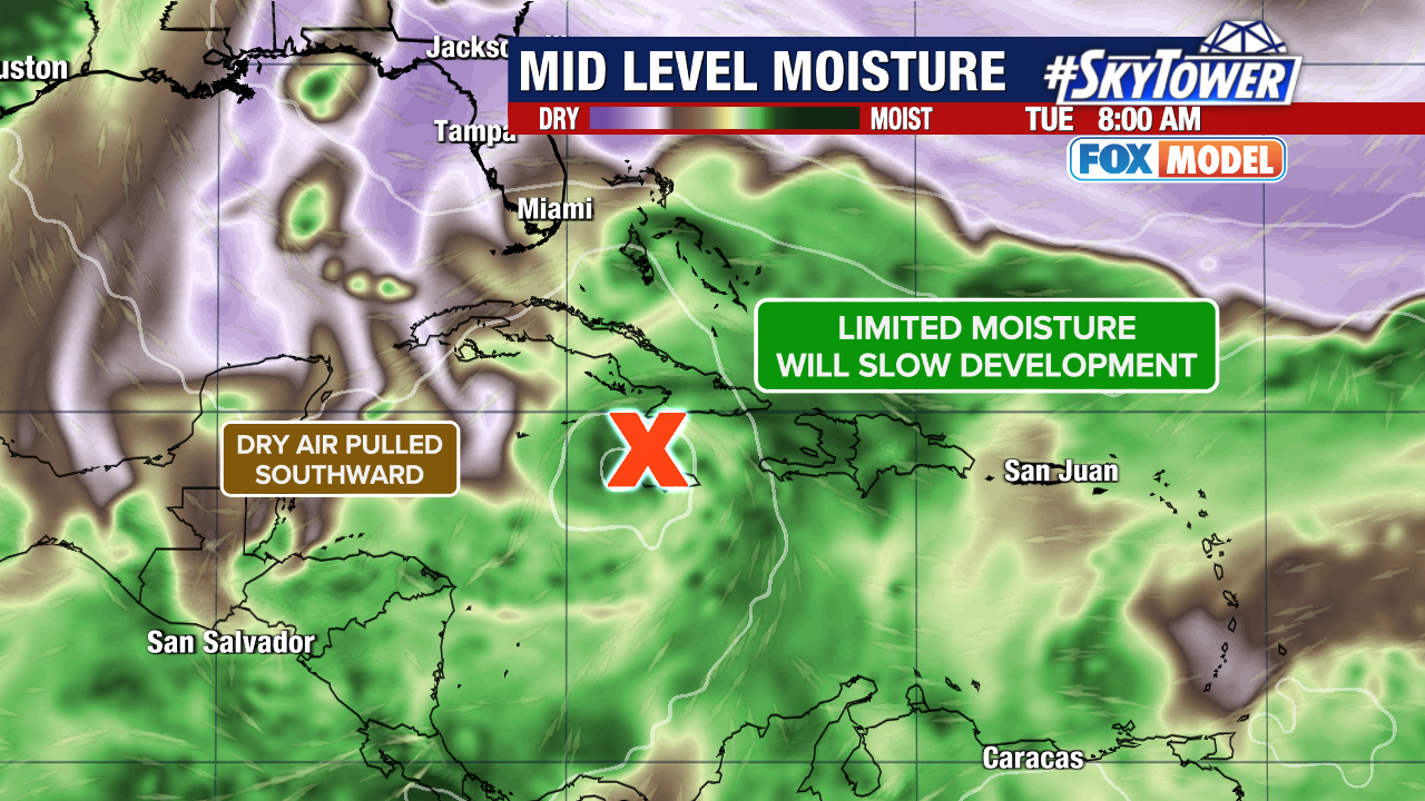
By Tuesday, these two areas are expected to merge into one system near Cuba.
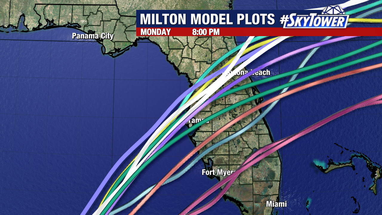
Once Invest 97L is near Cuba, the models start to spread out significantly as the steering flow gets tricky.
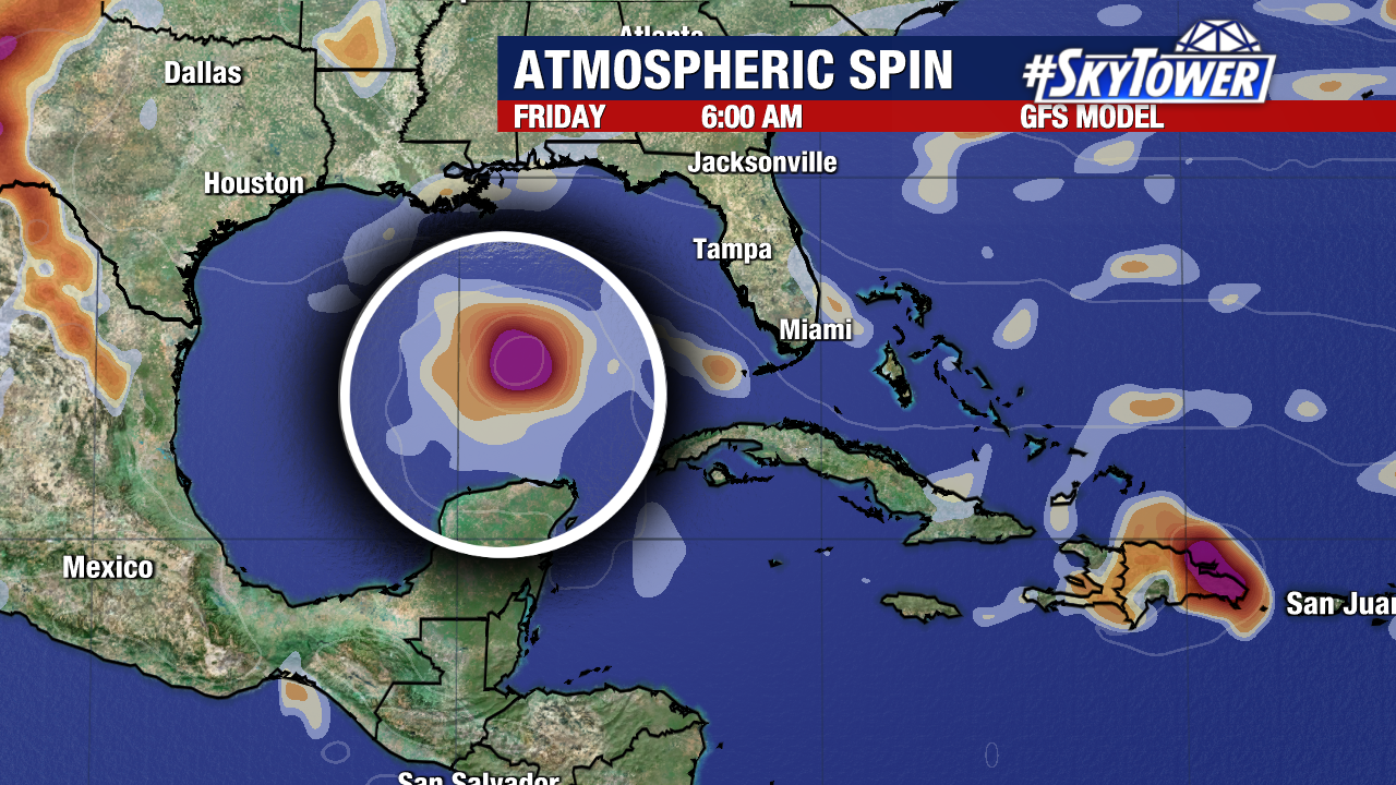
This area will move into the Gulf of Mexico around the middle or end of the week. But from there, models take it anywhere from Florida’s West Coast to Mexico.
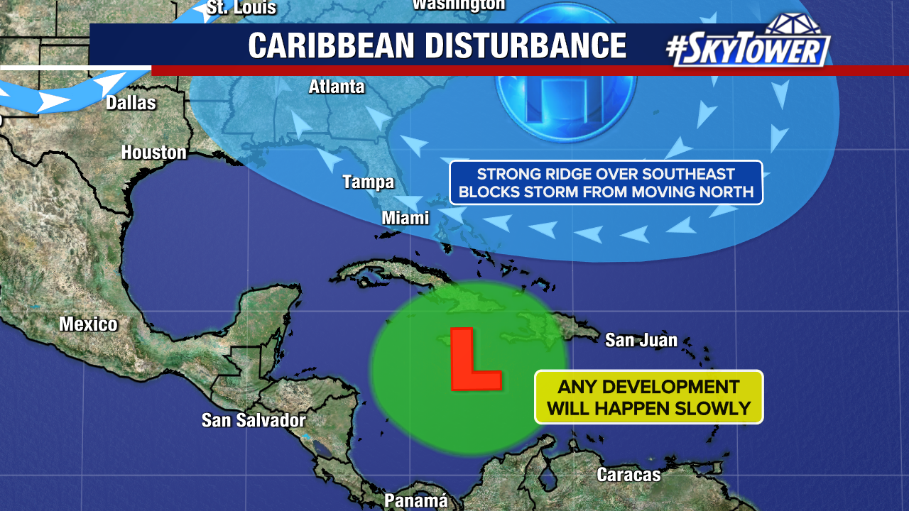
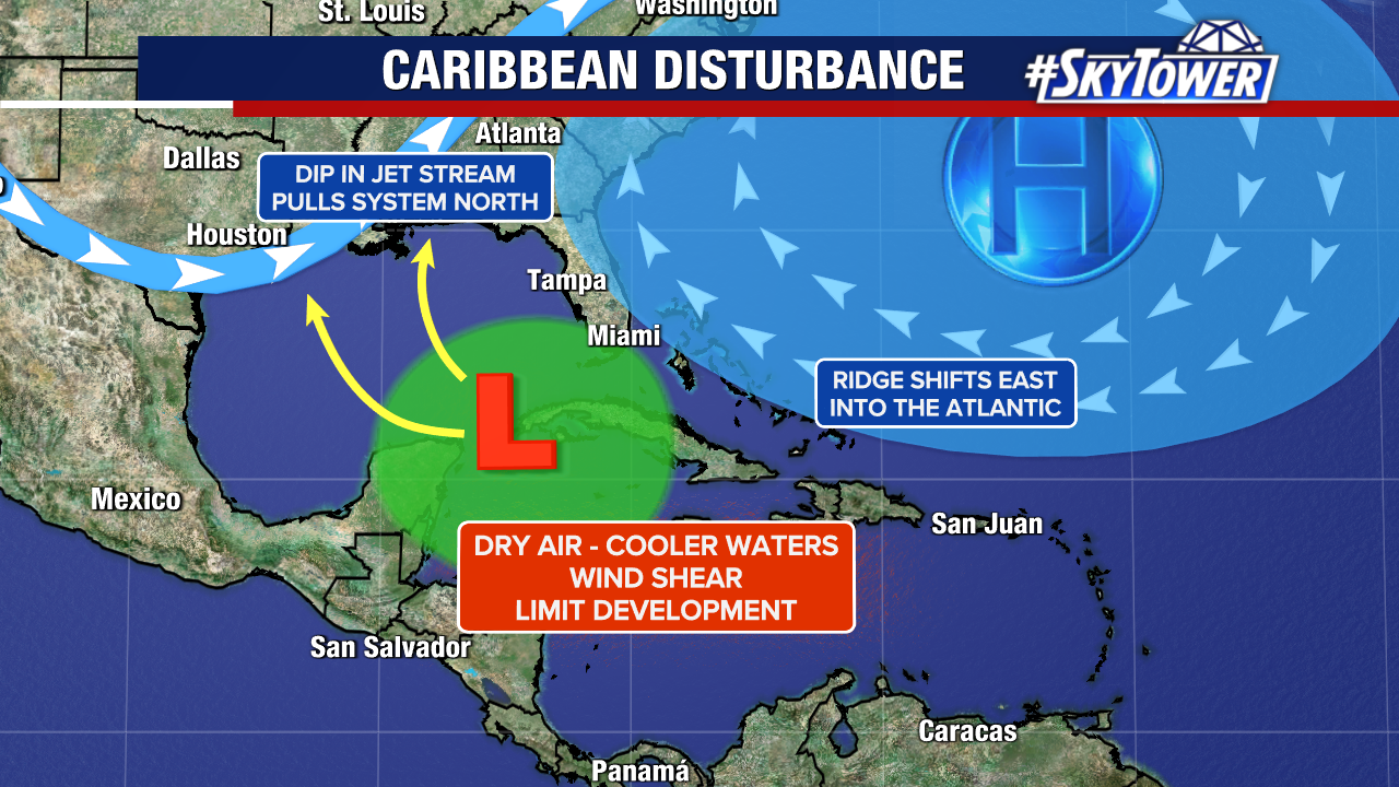
So here’s the big picture: a ridge across the SE will block the area from moving north.
Once it gets into the Gulf, exactly where a dip in the jet stream is will be a key component to guide the storm.
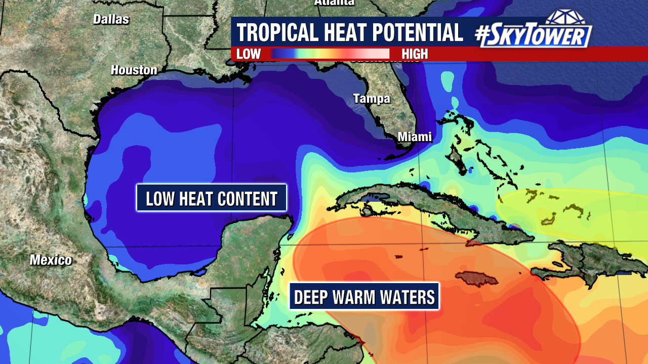
The good news is oceanic heat content is much cooler in the Gulf compared to what it was in August/September. The Caribbean has much more heat in comparison, but Gulf waters are less favorable to sustain a tropical system.
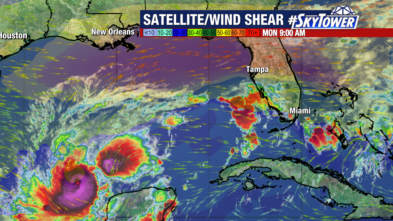
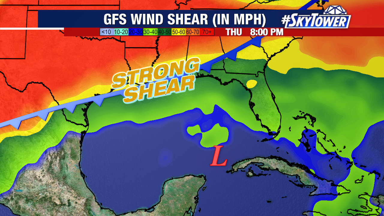
Other factors the system will have to battle in the Gulf: drier air and hostile upper winds. A cold front dropping south to the Gulf Coast will increase wind shear, which will limit development.
Many models are keeping this as a tropical storm, but there is still uncertainty in the potential strength. We will watch it and keep you updated.
Rafael is the next name in line.
