Monitoring one disturbance and plumes of Saharan dust

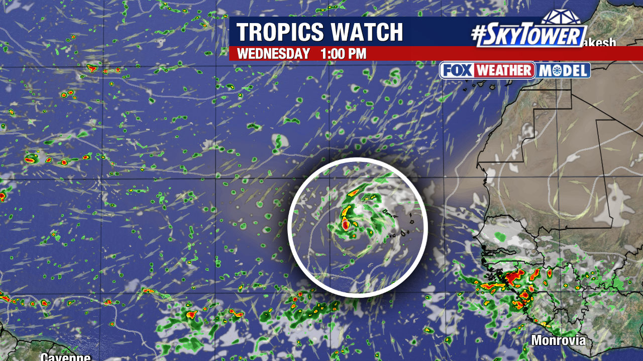
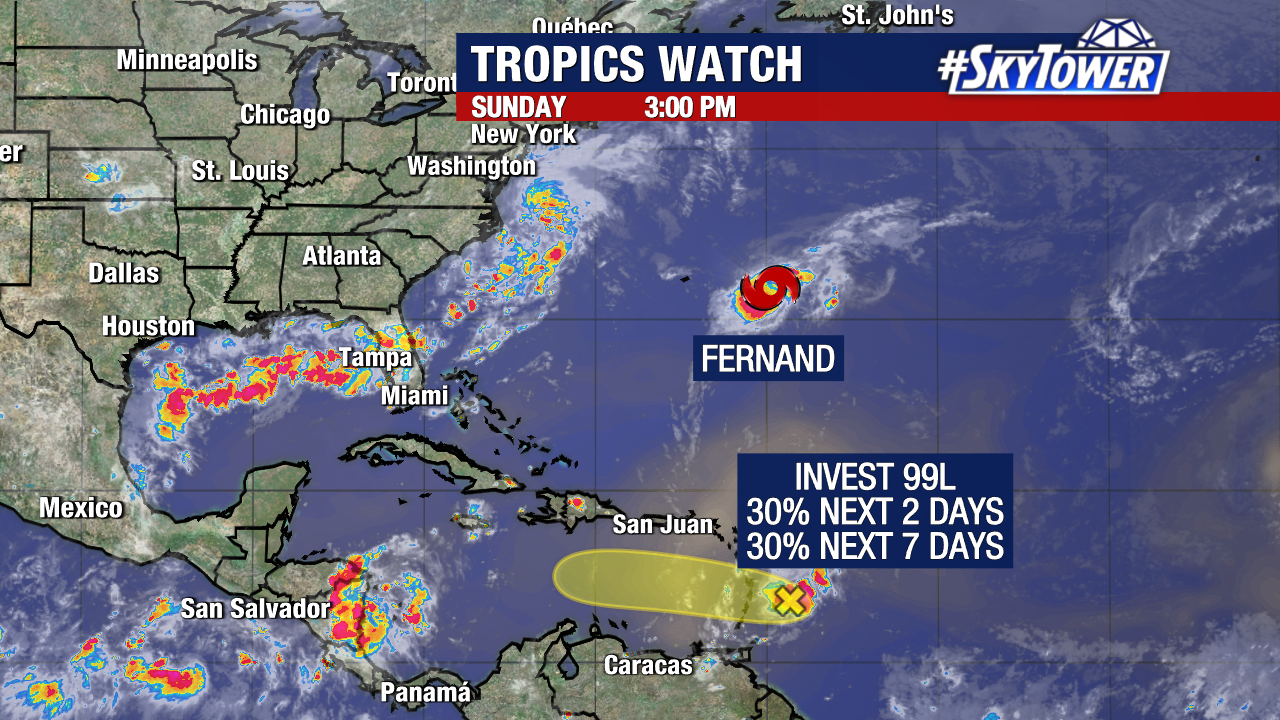
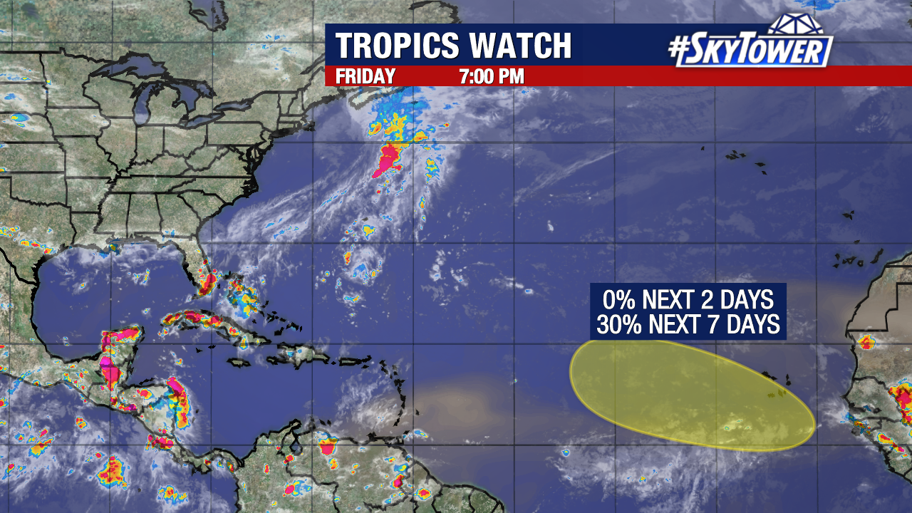
Following a busy start to the Atlantic hurricane season, we’re now only experiencing limited activity in the tropics. We are only monitoring a broad area of low pressure off the southeastern United States coast with slim odds of formation over the next week.

Conditions are only marginally favorable for development as this disturbance moves over the Southeastern United States by this weekend. Ample amounts of shear and dry air will be the primary obstacles to this organizing into a tropical depression or tropical storm. The majority of our weather models do not support the development of this system.

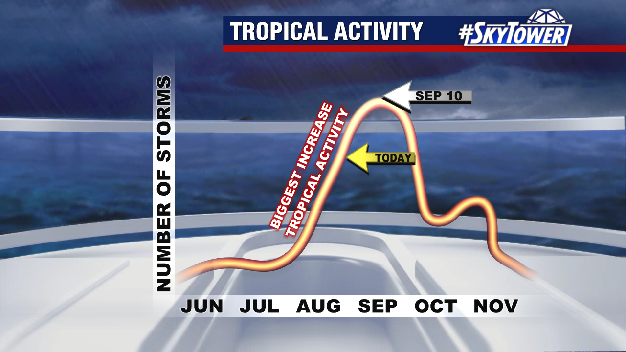
Climatologically, this is a region where we would typically see tropical development in July.

Saharan dust continues to blanket a notable amount of the Atlantic, including the Gulf of Mexico and the Caribbean Sea. This will likely continue to tamper tropical activity over the next week.

Central Florida will continue to see a slight haze in the sky and small drops in air quality over the next couple of days thanks to this Saharan dust. Allergies and respiratory issues may be aggravated during this period. These dust plumes can also create vibrant sunrises and sunsets, with more of a glow than we would typically see in the evening.

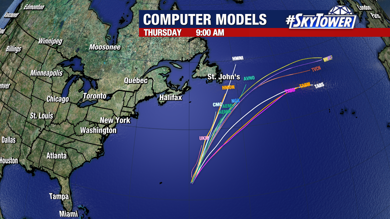
Beryl has restrengthened into a hurricane

Beryl has restrengthened into a hurricane, hours ahead of landfall along the Texas coastline. Models are in agreement that landfall will occur early tomorrow morning (likely before sunrise) somewhere east of Corpus Christi and west of Galveston. 

While Beryl may try and strengthen more, it is not expected to become a major hurricane before pushing onshore. Beryl will then weaken into a tropical depression before leaving the state of Texas. From that point, heavy rain and gusty winds will drift up the Mississippi River valley and into the Midwest.

Hurricane and tropical storm warnings remain in effect as tropical storm-force winds have already arrived along the Texas coastline. 

Storm surge remains a large hazard with Beryl. In the 5pm advisory, the National Hurricane Center has increased its forecast for expected storm surge. 

This does not account for the additional rainfall that will add to that total. Isolated rainfall totals may reach or exceed 10 inches over the next few days in some spots.

Additionally, Beryl’s rain bands may form storms capable of producing tornadoes. That tornado threat will be maximized on the right side of the storm’s center. A tornado watch is now in effect for this region of the Upper Texas Coast.