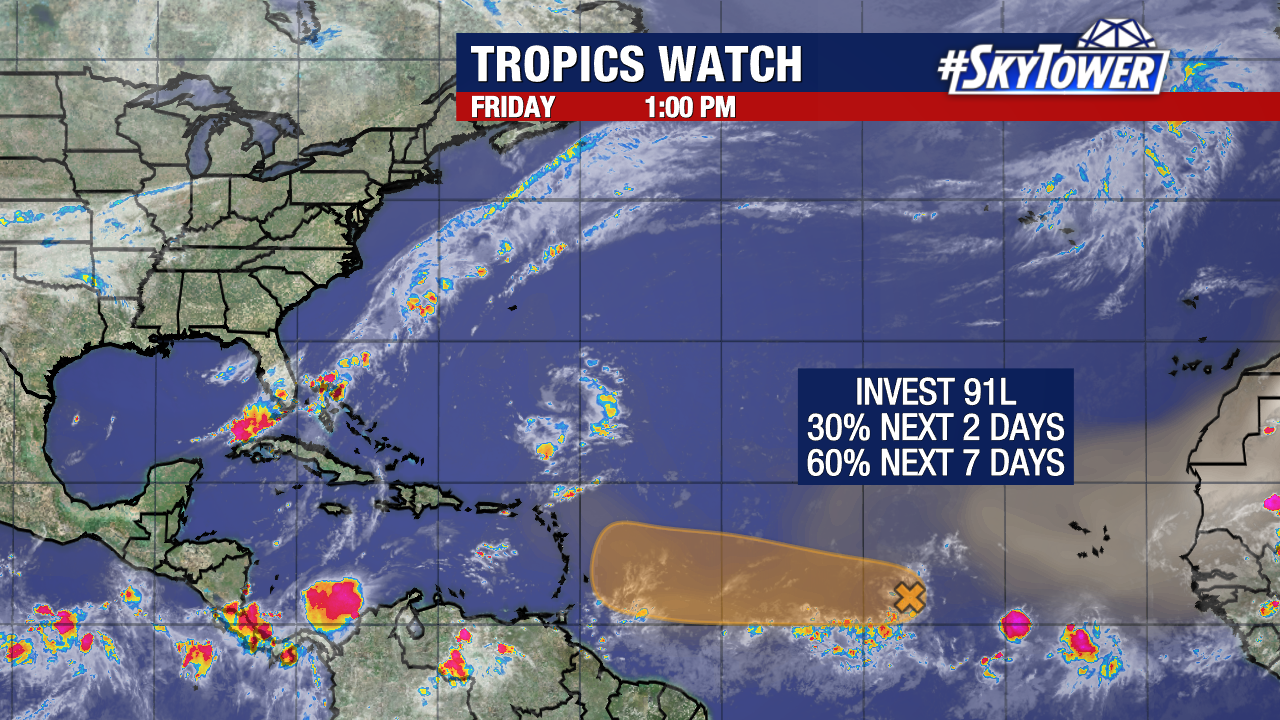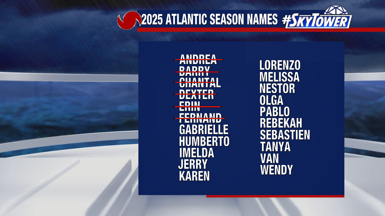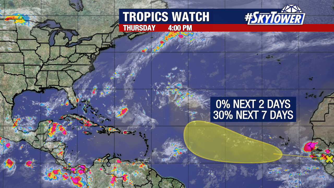
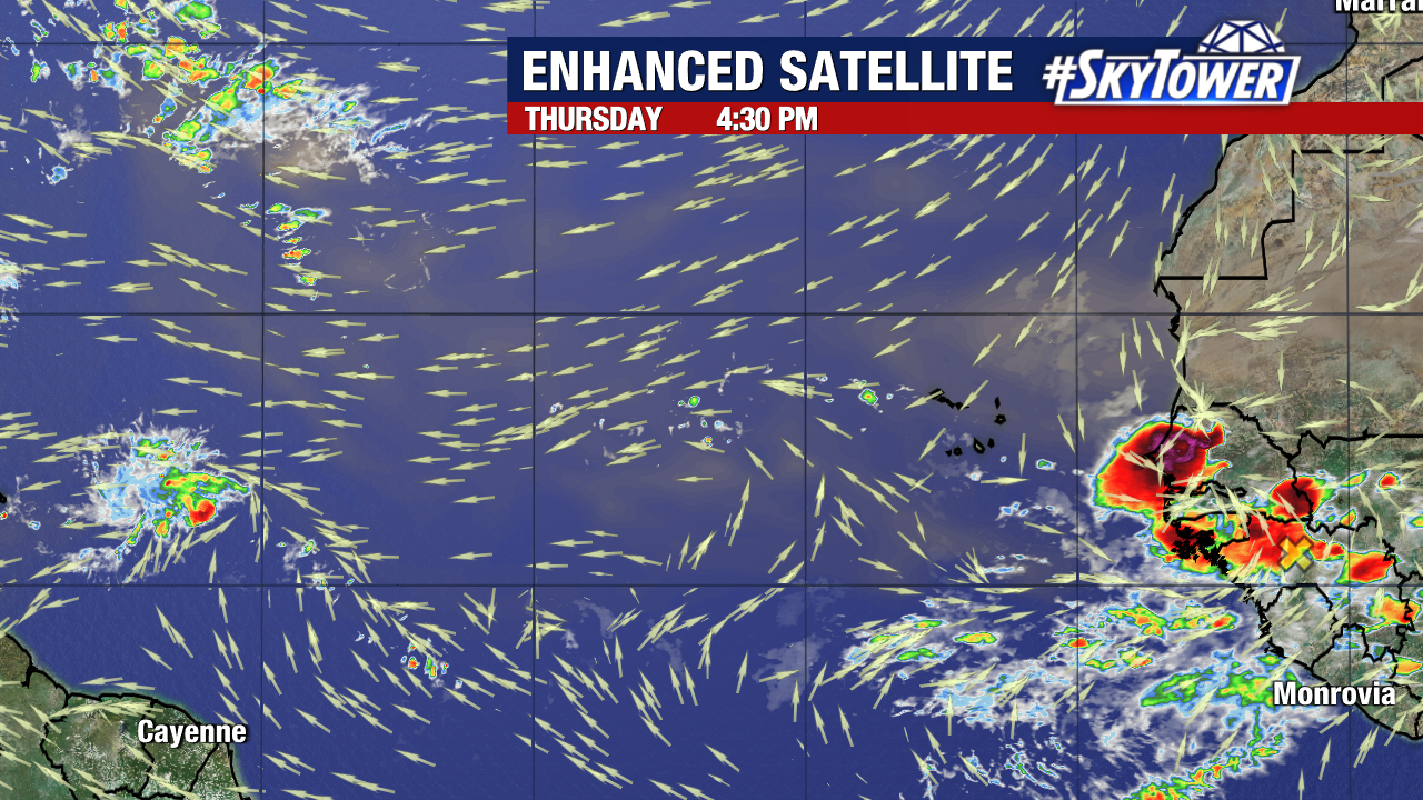
We continue to monitor only one area of potential development in the Atlantic. A tropical wave, set to emerge off the coast of Africa within the next day or so, has now been assigned a low 30% chance of formation within the next week.
In their latest update, the NHC has identified where the tropical wave is currently located with a yellow “x”.
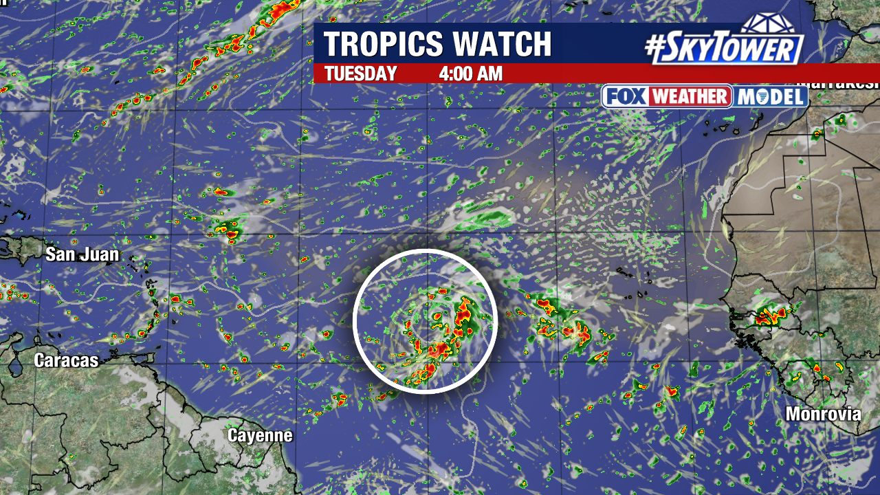
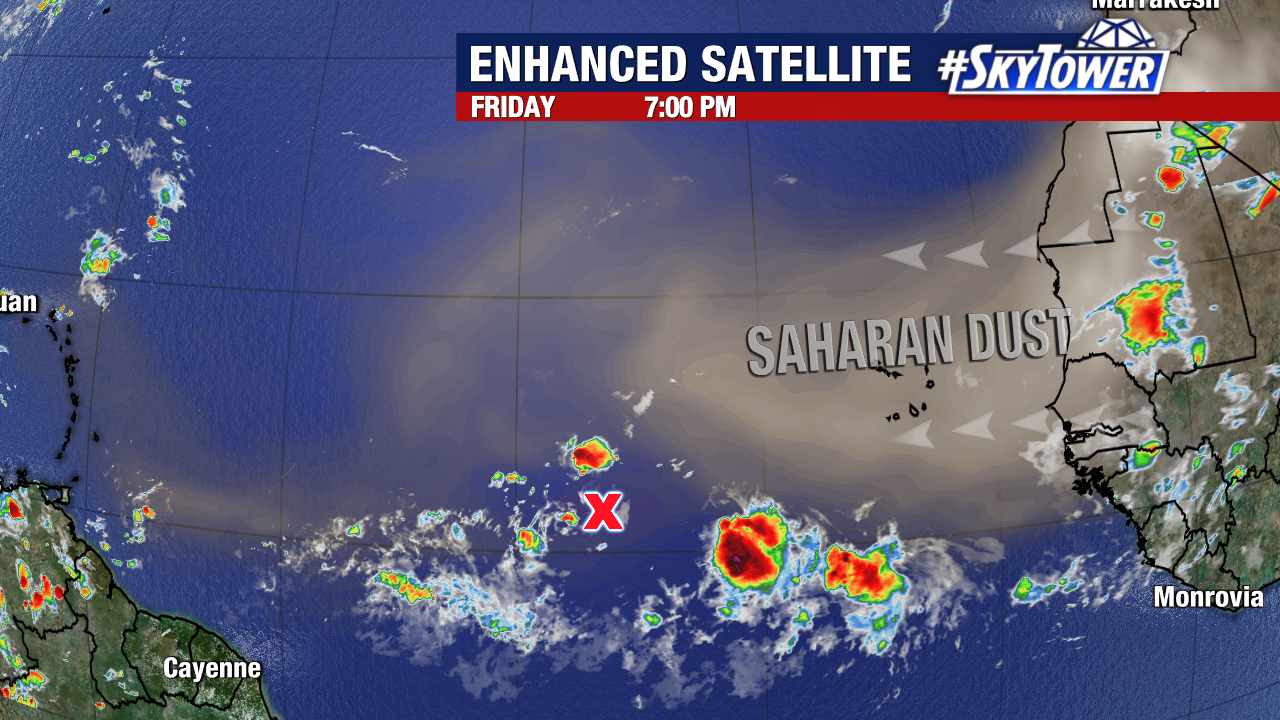
As this disturbance pushes west, it will eventually encounter an environment more conducive to development. Warmer sea surface temperatures, lower wind shear, and the potential to encounter less Saharan dust could all encourage its eventual development early next week.
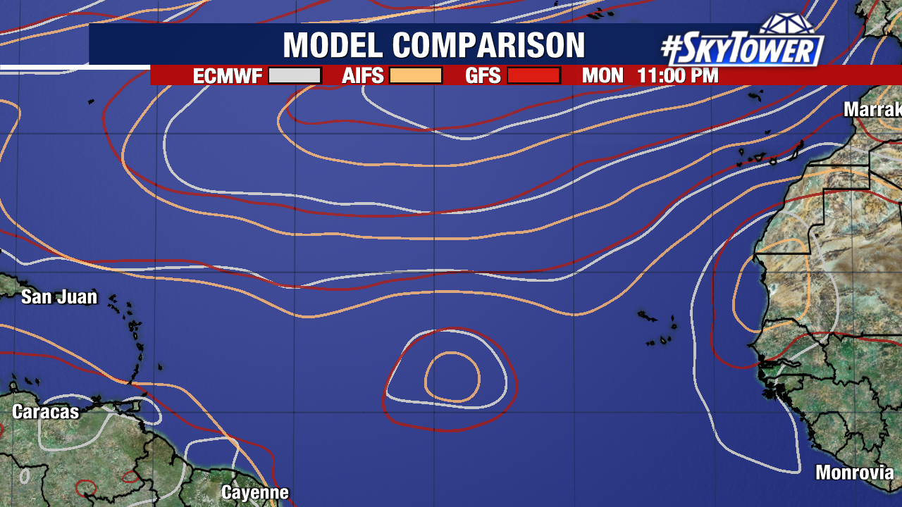
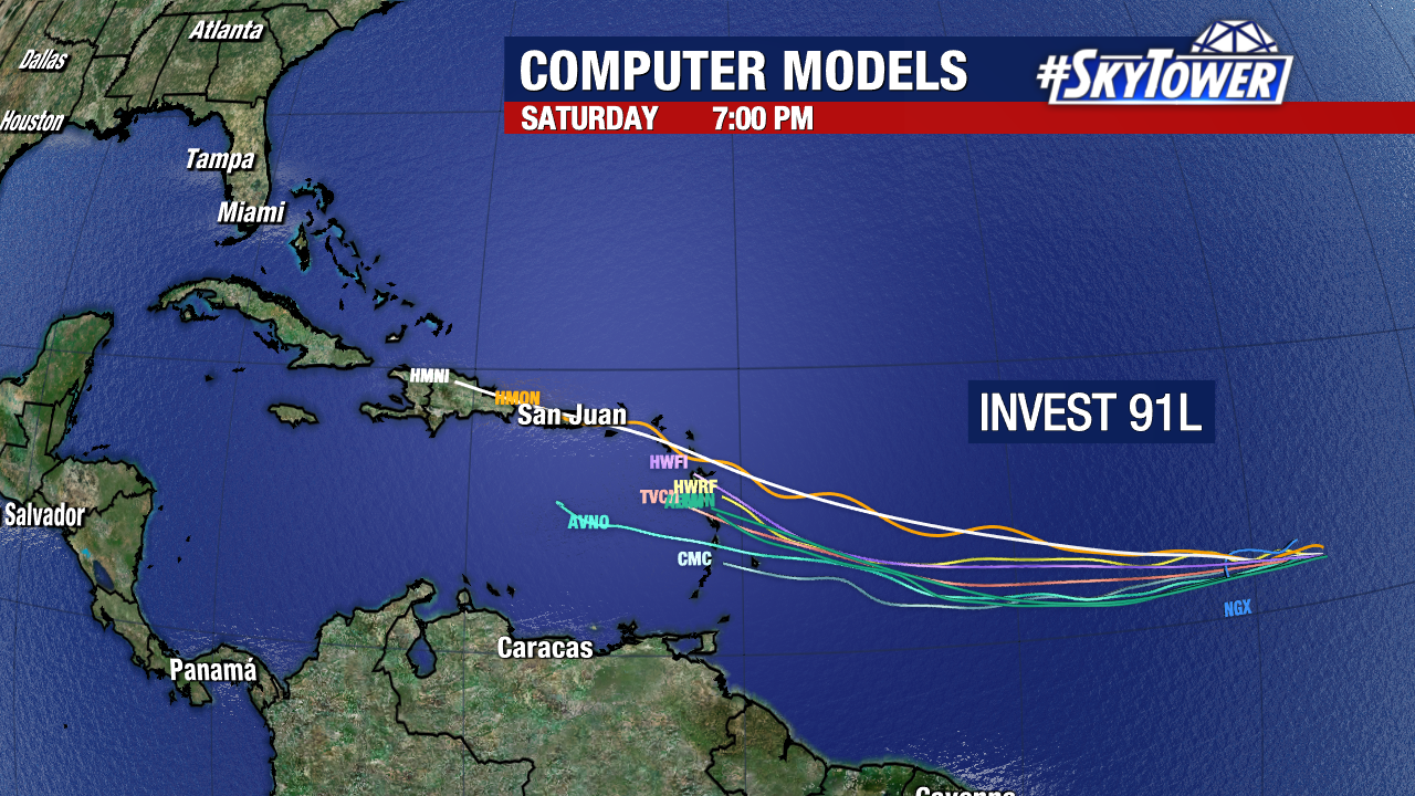
Multiple weather models now hint at development within the same time frame. This tropical wave is over 4,000 miles away from the Mainland United States coastline, giving us a long time to keep an eye on it. No tropical trouble is anticipated for Florida within the next week.