Saharan Dust Inhibiting Tropical Development; No Immediate Threats

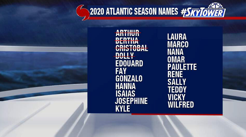
Still pretty quiet in the tropics as we get ready to head into the second month of the hurricane season. That being said, the season is running well above normal with four named storms already in the books.

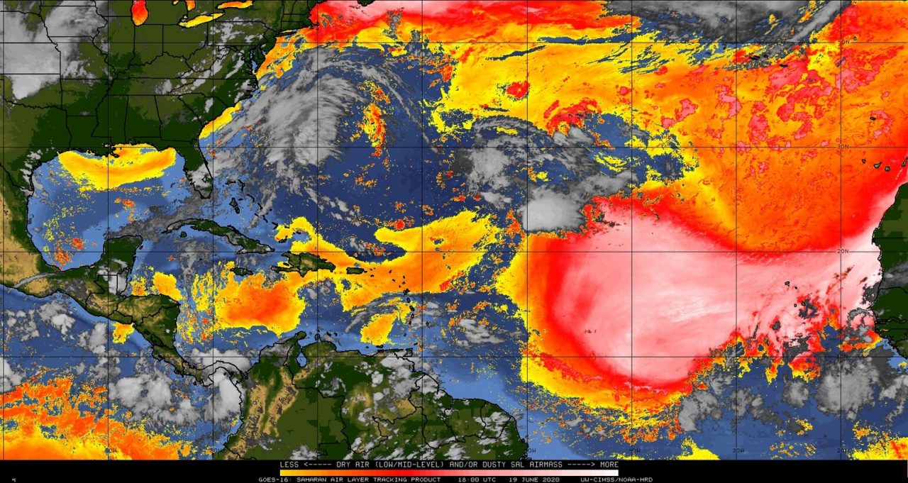
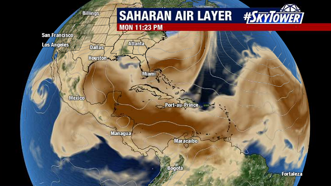
A big reason why things have been so quiet recently is the tremendous amount of Saharan dust blanketing the Atlantic basin – to an extent that hasn’t been seen in a few decades. Plus, this usually isn’t a very active time of the hurricane season anyway.

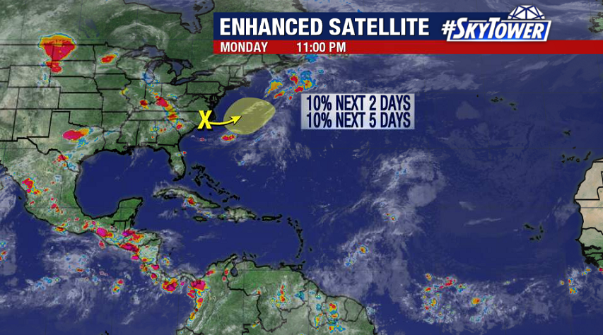
As of Monday evening, there’s only one area on the map that we’re watching, and that really isn’t anything to be worried about. An area of low pressure along the coast of North Carolina will be headed out to sea over the next couple days before getting absorbed into a frontal boundary. There may be a flare up of convection as this area moves over the Gulf Stream, but development odds are slim.

Quiet Stretch In The Atlantic Continues

It’s been pretty quiet across the Atlantic since Tropical Storm Cristobal moved through the Gulf of Mexico about two weeks ago.

Heading into the weekend, we have a few tropical waves on the map moving through the Caribbean Sea and Central Atlantic. None of these look to be a threat for tropical development at the moment.

Several areas of moderate to high wind shear will continue to keep things quiet over the next few days. In addition, large plumes of Saharan dust have been spreading east across the Atlantic further hindering any development. A secondary benefit of this dust in the atmosphere is often vivid sunsets – there should be some good ones over the next week through the Caribbean and parts of the Gulf Coast.

Courtesy: CIMSS/University of Wisconsin- Madison