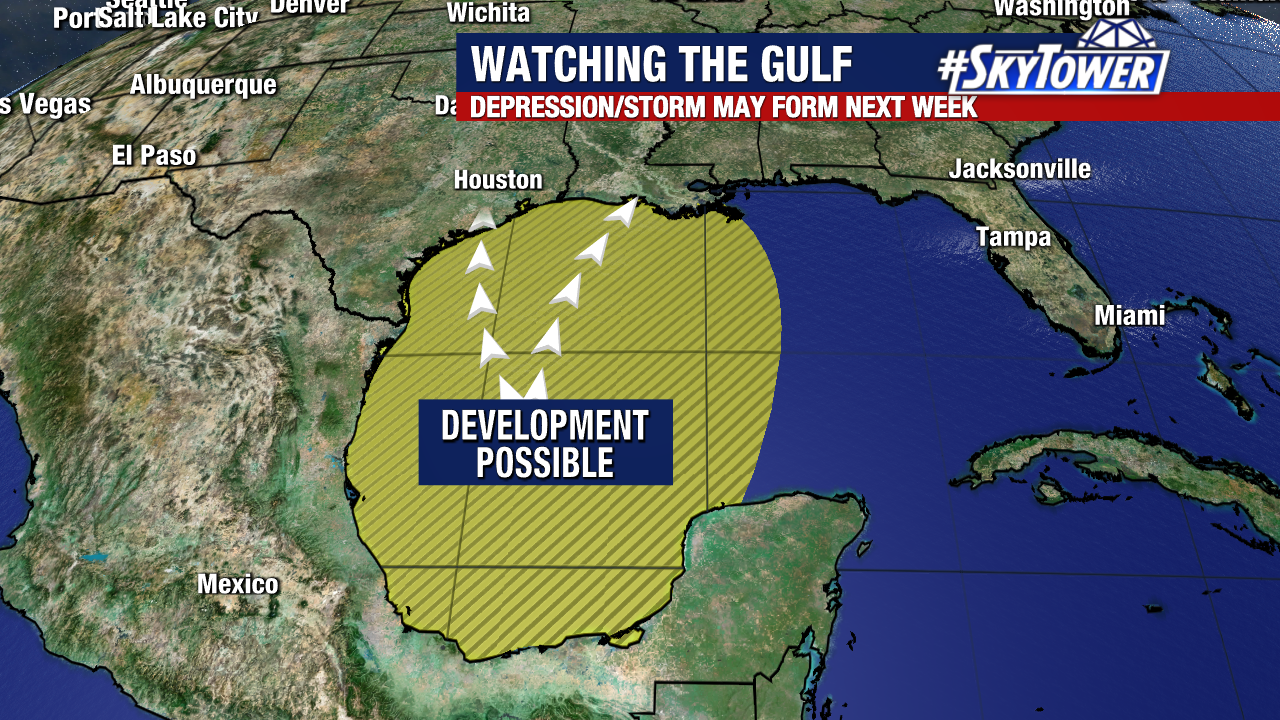
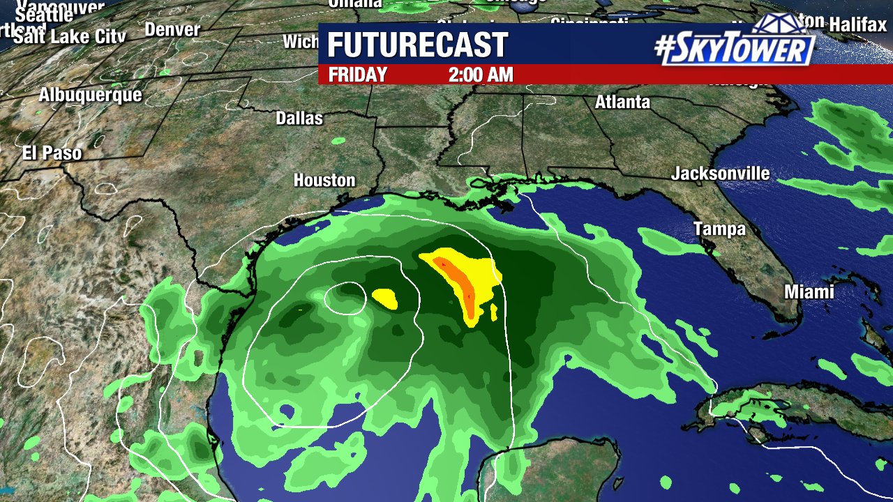
A large area of showers and storms over the Bay of Campeche will have to be watched closely in the coming days. Any development will be slow to happen as this slowly drifts north toward the northern Gulf Coast, but odds are increasing that a tropical depression could form late in the week.

Regardless of development, the primary threat with this will be heavy rainfall, which may result in localized flooding. It’s likely to be a lopsided system with most of the rainfall on its eastern side. Since we’re still 6-7 days away, it’s too early speculate where the heaviest rain will fall. Areas from eastern Texas to Alabama, should monitor the progress of this system closely, and check back with us throughout the week for updates.