Invest 96L Meanders Near The Azores

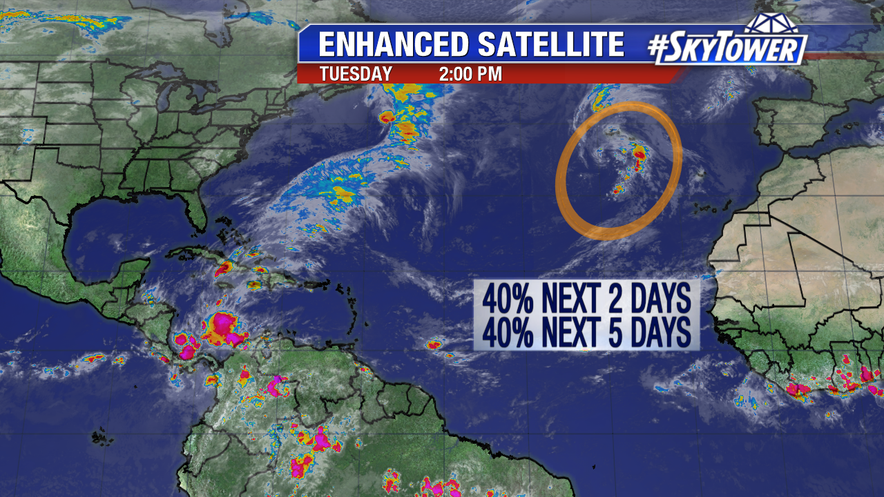
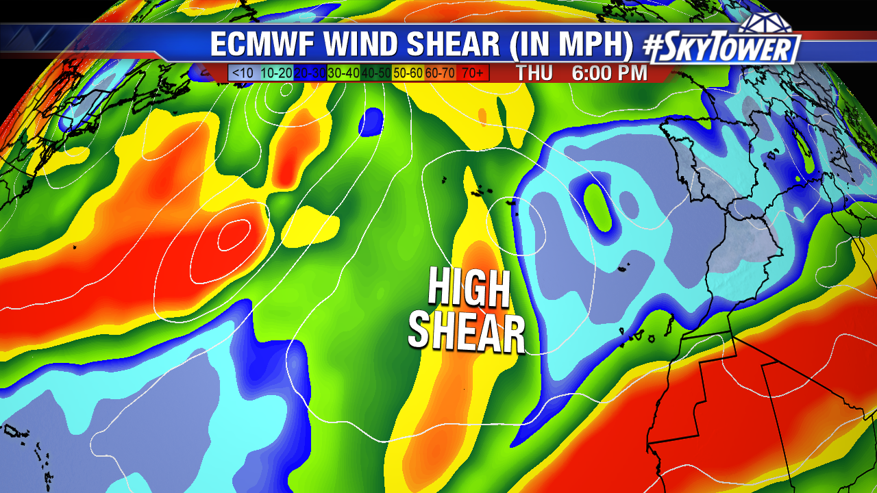
Invest 96L is still a non tropical low near The Azores Tuesday afternoon. Upper level winds are favorable for some subtropical development through mid-work week. By late Thursday and Friday wind shear increases and subtropical development is less likely. Regardless, some squalls are expected in the central and south Azores over the next few days.
atlantic-wide-2d-ir-enhanced

gfs-wind-shear-with-text

There are about 2 weeks left in the 2017 Atlantic season. Mid to late November named storms are less common as water temperatures are cooling and wind shear is elevated with active frontal boundaries. Only 38 named storms have forms in the Caribbean, and Atlantic from November 11th through November 30th since 1851. The graphic below is courtesy Google Earth.
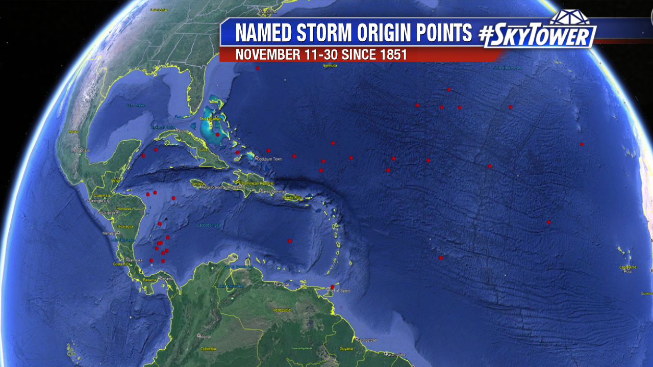
named-storm


Subtropical Development is Possible Near The Azores This Work Week

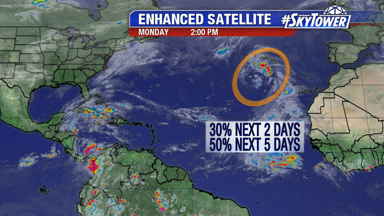
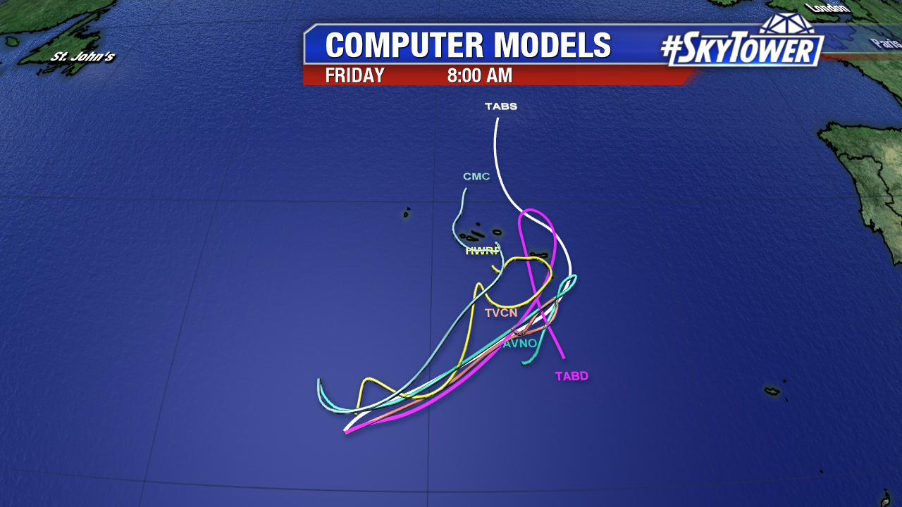
An area of low pressure in the northeast Atlantic could gain some tropical characteristics in the days ahead. As of Monday afternoon there is a medium chance a tropical depression or Subtropical Storm Sean forms over the next 5 days. Invest 96L could impact the central or southeast Azores mid work week as it meanders in the vicinity.

atlantic-wide-2d-ir-enhanced

invest-93l-models

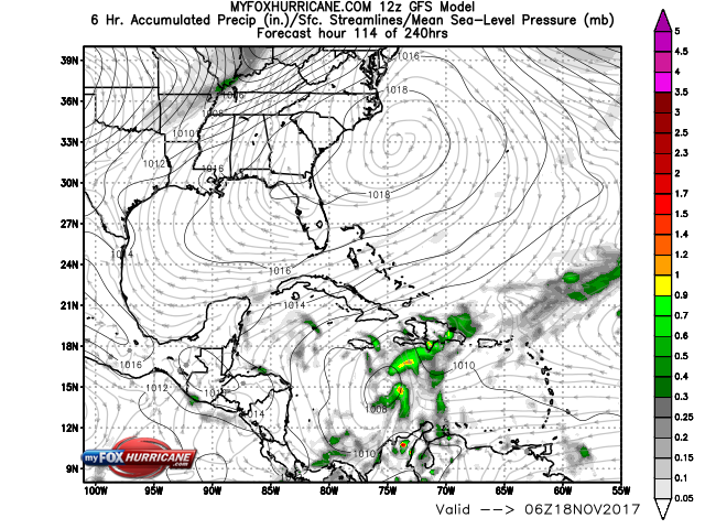
Elsewhere the tropical Atlantic season winds down. Water temperatures are still in the low to mid 80s in the southwest Caribbean. The GFS keeps pressure in this region generally low over the next 5-7 days+. This is worth keeping an eye on next week.

gfs_car_accprec_20