Karl now post-tropical, no other development expected for now

Karl which was a tropical storm meandering over the Bay of Campeche this past week is now post-tropical, losing its tropical characteristics. Karl has been battling substantial upper level wind shear and is now spinning down as it drifts southwest.
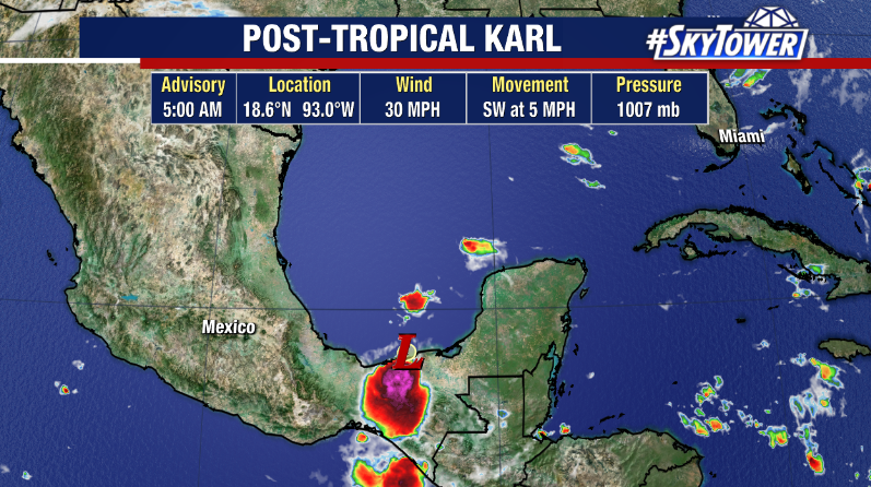
The National Hurricane Center issued its last advisory on the storm Saturday morning, but the remnant low could still produce heavy rain, flash flooding and mudslides over portions of southern Mexico this weekend.

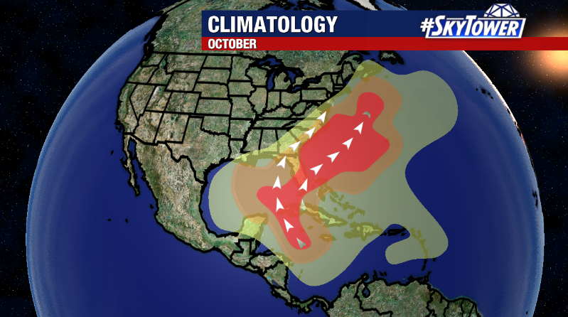
Elsewhere in the tropics, things remain fairly quiet with no formation expected over the next several days. We’ll continue to monitor the Caribbean, which is a common breeding ground in the month of October. The next name on the list is Lisa.
Tropical Storm Karl forms, no threat to U.S

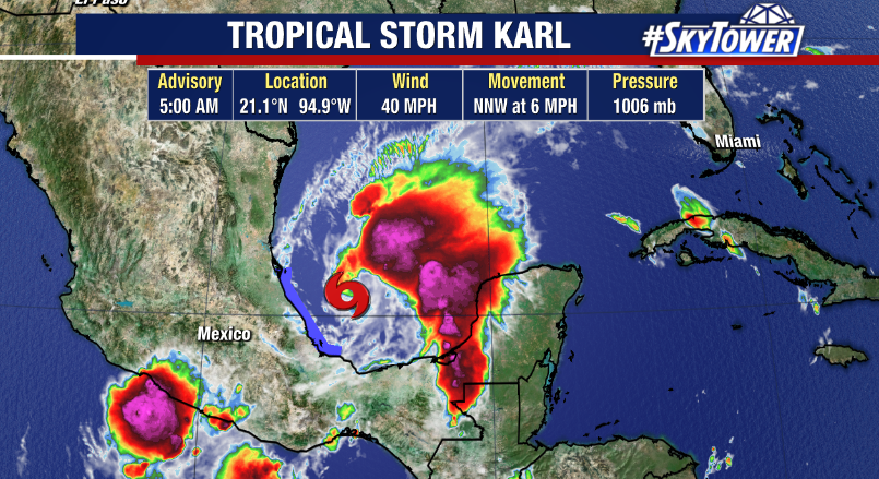
The 11th named storm of the season, Tropical Storm Karl formed Tuesday in the Bay of Campeche. As of Wednesday morning, Karl has top winds of 40 mph and is moving NNW at 6 mph. On average, the 11th storm of the season forms on October 2nd.

Some strengthening is possible as Karl meanders over the warm waters of the region. Currently, most of the convection associated with the storm is removed from the center of Karl where tropical storm force winds extend out 105 miles.

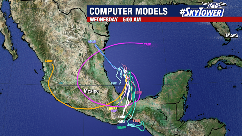
The slow northwest motion is expected to continue for another day or so before a building ridge of high pressure to the north of Karl nudges the storm back south and southwest towards the coast of Mexico where heavy rain could cause flash flooding and mudslides.

Karl poses no threat to Florida or the United States.