A front has been stalled over northern Florida for the past several days, increasing moisture and rain in Tampa Bay. During hurricane season, these stationary fronts can spin up a disturbance leading to a tropical system. Although we are watching an area of disorganized showers & storms, development chances are minimal. It would be a slow development over the next several days.
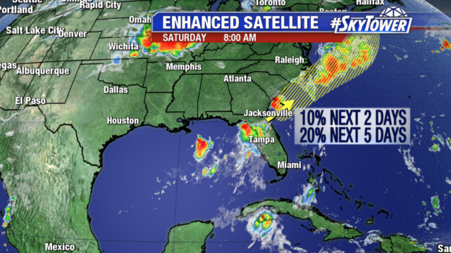
Even if it did organize it wouldn’t change the forecast for the Georgia and Carolina coastlines as they are already looking at heavy rainfall. So while we will continue to monitor it, the impact will be heavy rain to parts of the East Coast with little development beyond that.
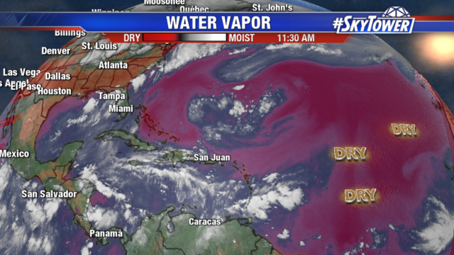
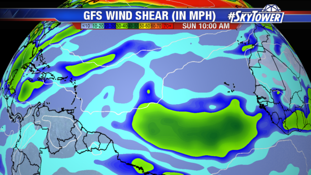
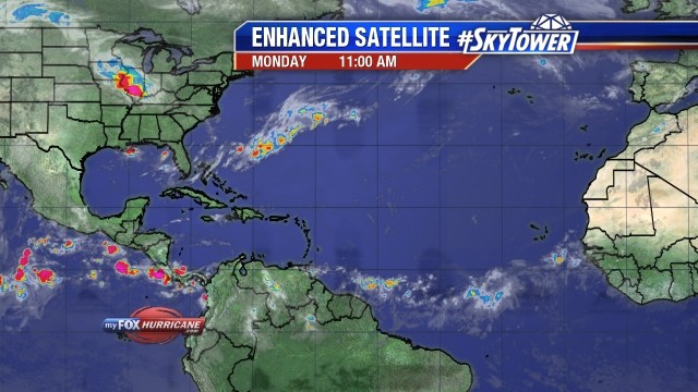
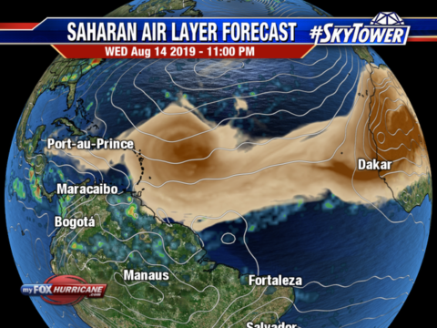
The rest of the tropics are also looking quiet. Dry air blankets the Atlantic Ocean into parts of the Caribbean. And strong wind shear extends off the coast of Africa. Both of these factors are keeping any tropical waves from organizing.