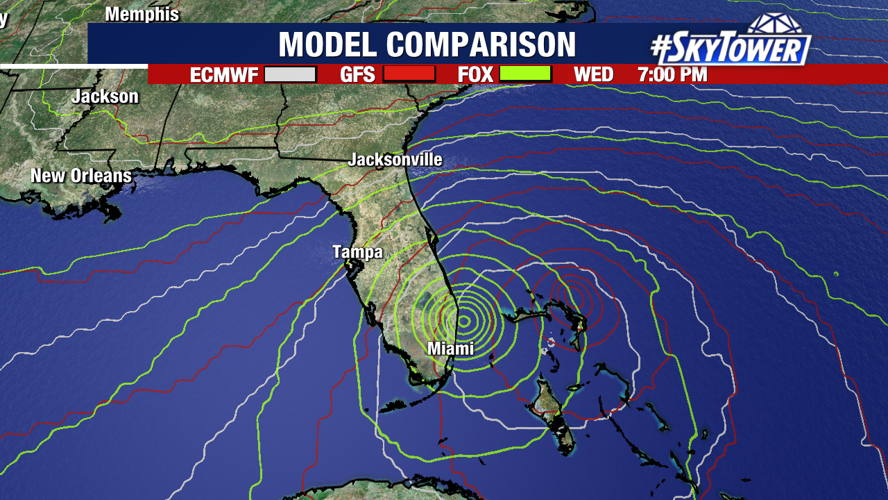
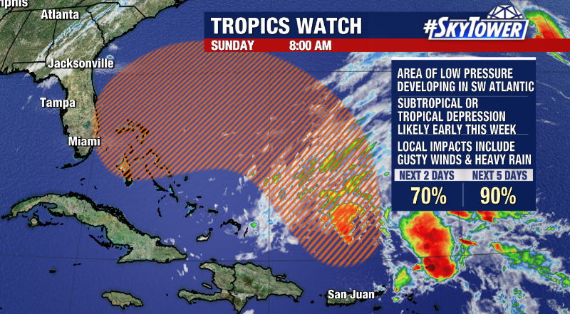
Well, it’s looking increasingly more likely that we’ll have a named storm approaching the east coast of Florida by the middle of this week. A developing area of low pressure east of the Bahamas should further organize over the next day or so before making a turn to the west toward Florida thanks to a large ridge parked over the eastern half the U.S.
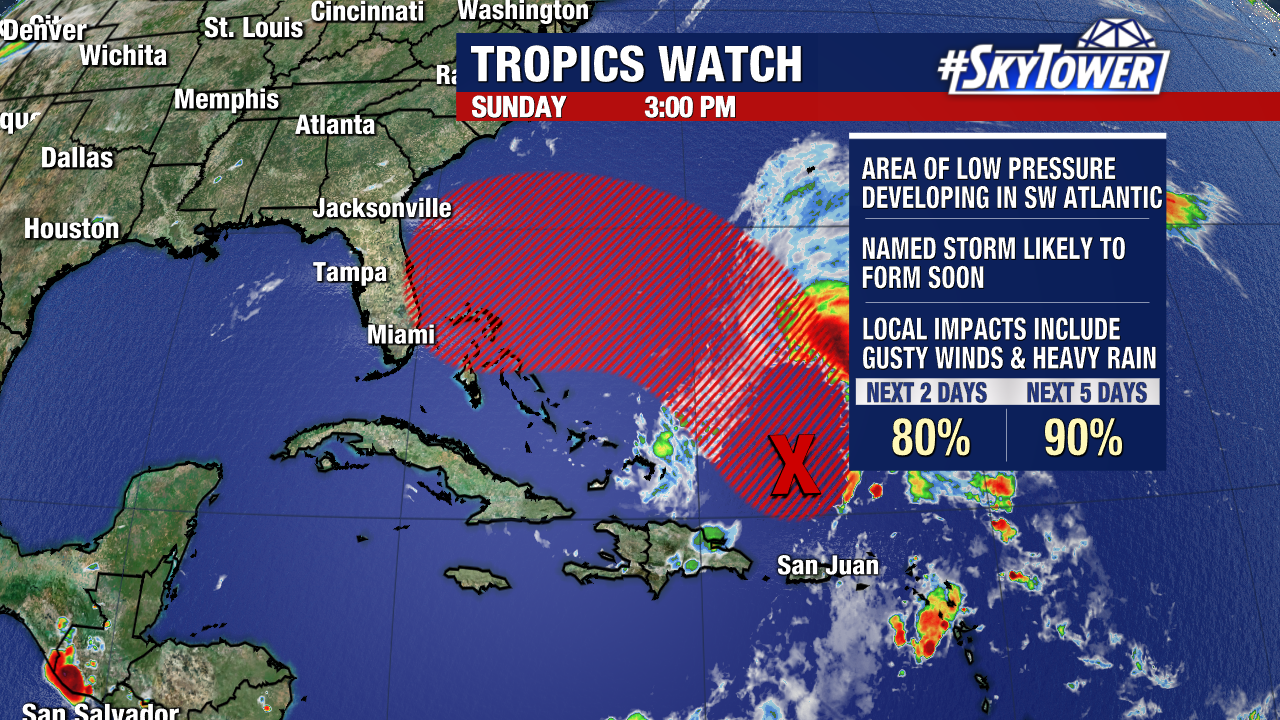
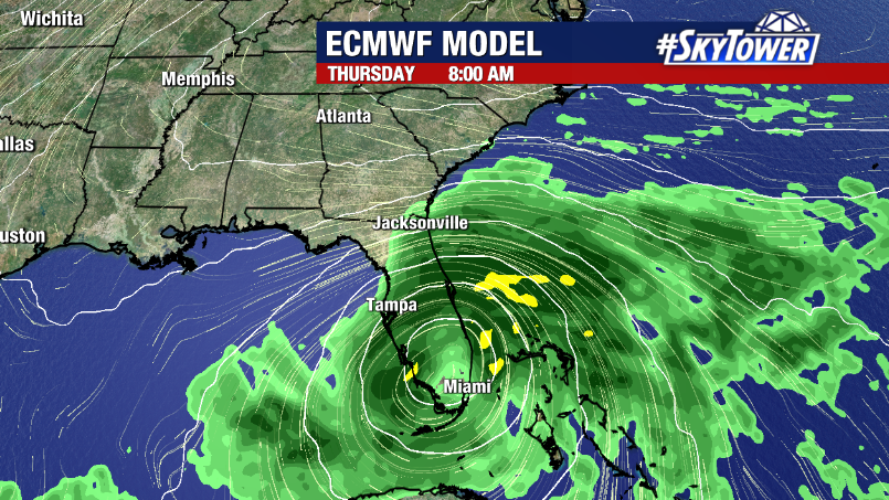
As the system approaches by the middle of the week, a turn to the north will begin to take place. Timing and location of impacts will be dictated by how far the system comes across the state before making that turn to the north – something that we’ll get a better handle on once the storm actually forms. If it does indeed make landfall, it would happen at some point on Wednesday.
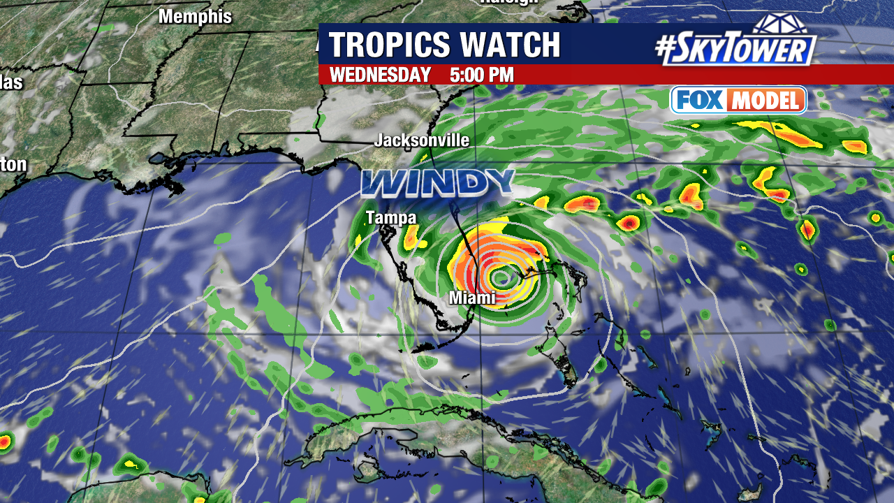
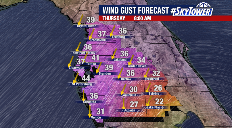
While gusty winds and periods of rain will likely spread across the state through the day on Thursday, by far the biggest impact from this will be coastal flooding on the East Coast as strong onshore flow combines with some of the highest astronomical tides of the year.
For those on the west coast of Florida – especially in areas hard hit by Hurricane Ian – rest assured that storms with this angle of approach usually are more of a nuisance than anything else in terms of impacts around. That being said, some tropical storm-force wind gusts and periods of rain wouldn’t exactly be ideal for folks still trying to recover. We’ll keep you posted.
