
An area we’ve been monitoring in the Gulf now has a 20% development chance from the National Hurricane Center. The odds still remain low: 0% over the next 2 days and 20% over the next 7 days.
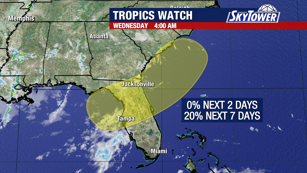
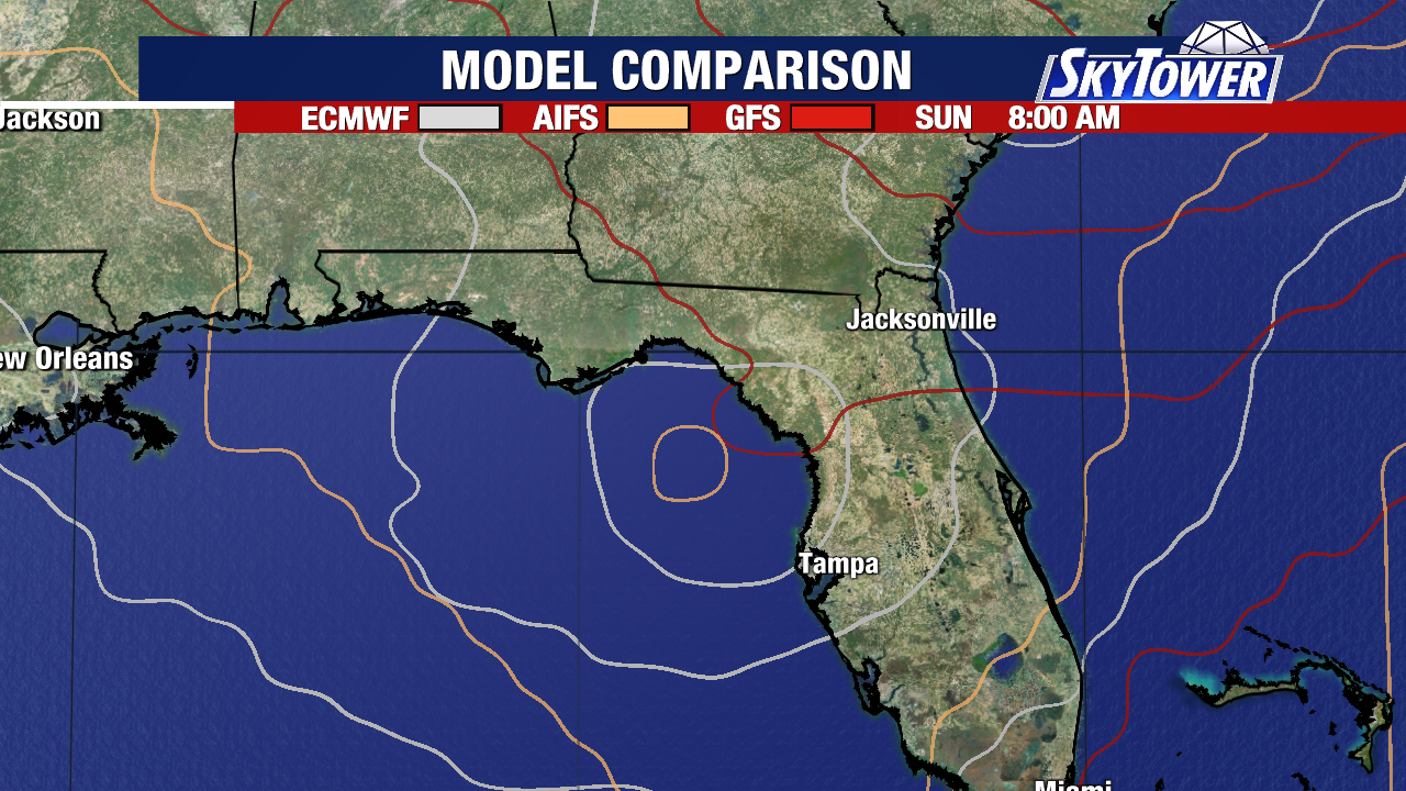
The timeframe we’re watching is this Saturday through next Wednesday as something tries to form and move northeast.
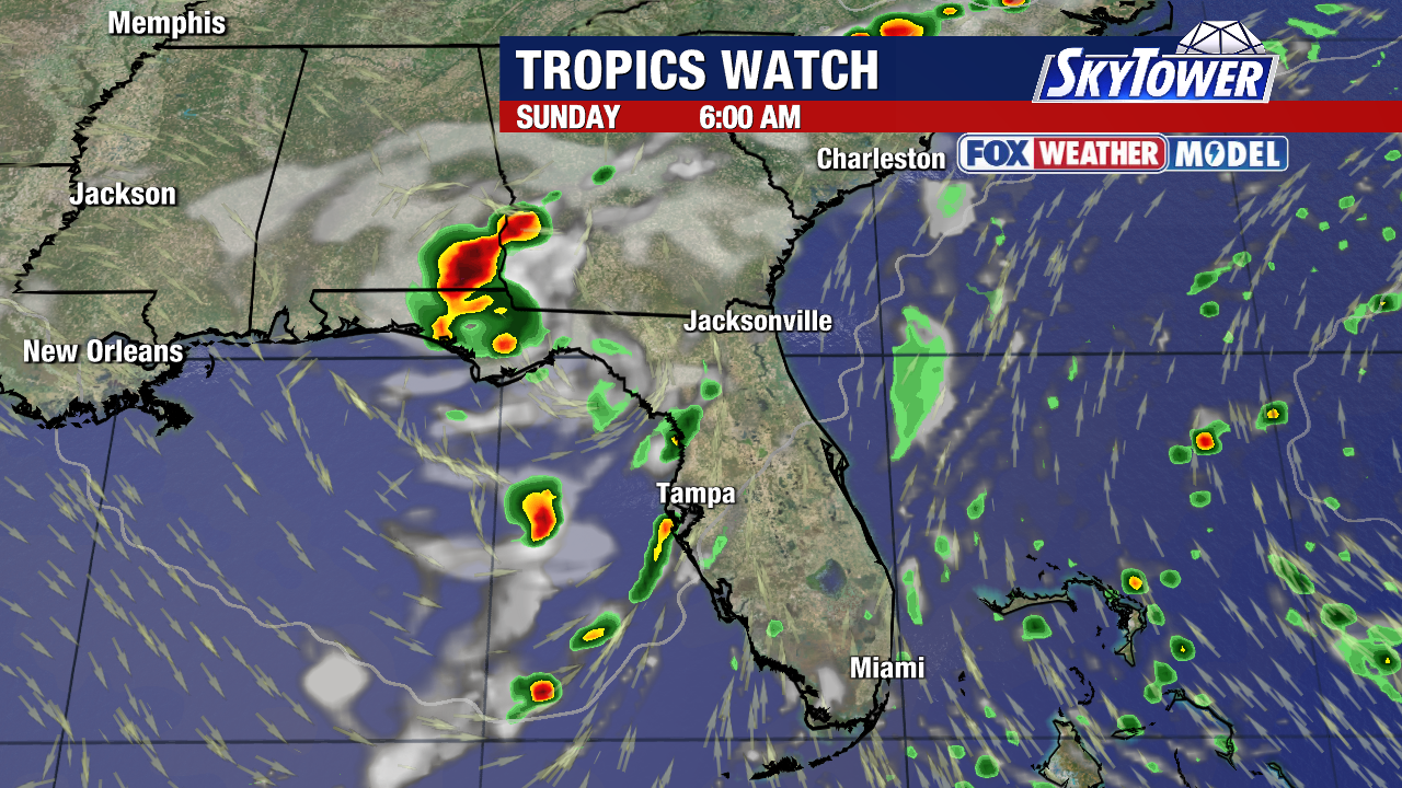
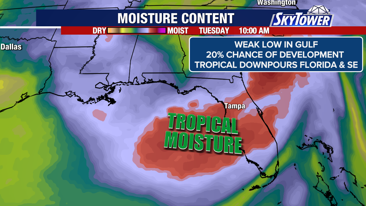
There will be increased moisture and tropical downpours across Florida and parts of the SE regardless of development.
There are several things working against a tropical system: land interaction, wind shear and dry air.
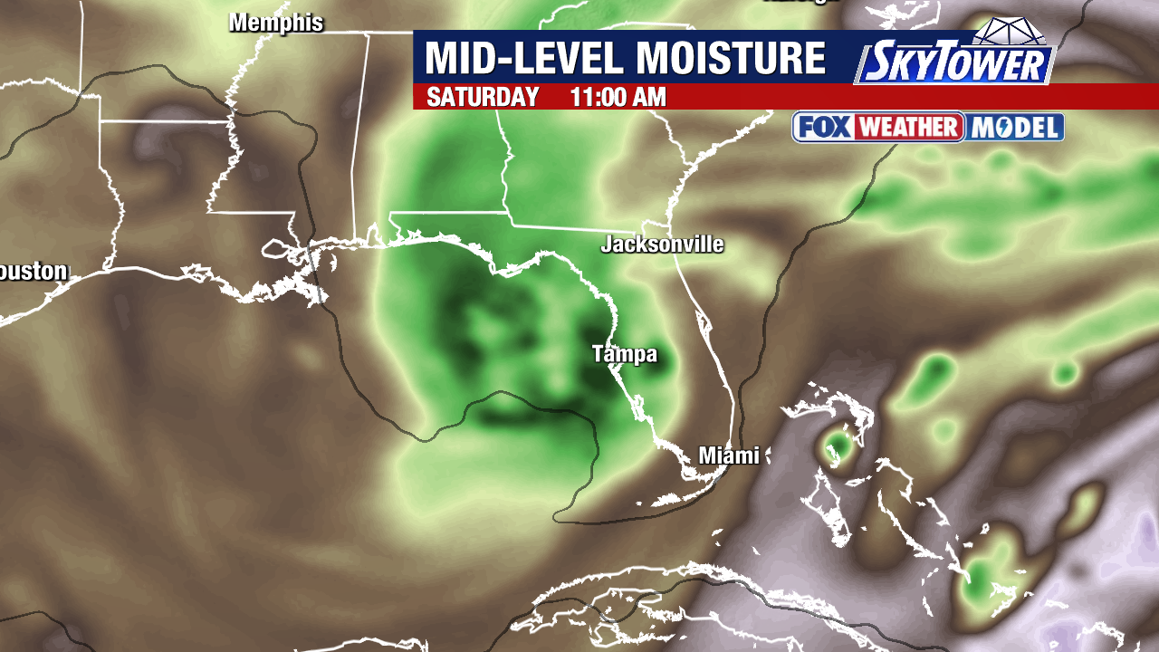
The area of low pressure would spin up in the northeastern Gulf where water temps are plenty warm for a tropical storm, in the upper 80s to near 90.
How close that happens to Florida will be a big factor in something forming. If circulation remains over the warm Gulf waters, it is not out of the question to see quick organization.
To be classified has a tropical system, there needs to be a defined circulation with thunderstorms organized around it. Once max sustained winds reach 39 mph, it’s a tropical storm and is given a name.
If this area tagged in the Gulf and SE reaches that feat, it will be named Tropical Storm Bertha.
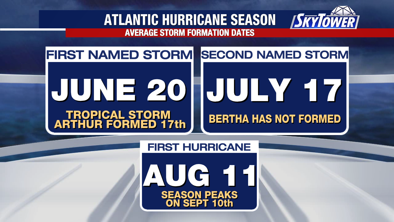
The second named storm of the season, in this case Bertha, usually forms on or by July 17.