
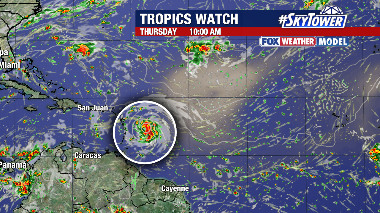
Tropical Storm Jerry formed and is forecast to become a hurricane Wednesday as it approaches the northern Leeward Islands.

Sustained winds are up to 45 mph and the storm is quickly moving west at 24 mph.

Jerry is forecast to have 90 mph sustained winds as the core passes near or just north of the islands late Thursday and Friday.
It will slow down a bit and it starts to turn more west-northwest in the next few days. Late this week and through the weekend, Jerry starts to curve north as a trough breaks down the ridge of high pressure.
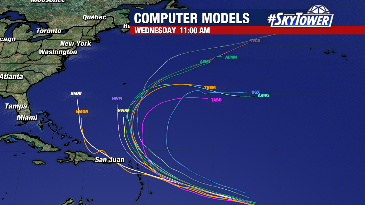
Many models steer the storm near/east of Bermuda but some take a southern track with more implications for the islands.
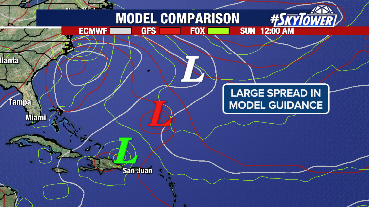
There is a large spread in models after it passes the islands. Some track Jerry through stronger wind shear while others lean towards a path offering more favorable winds for the storm.
Stick with us as we watch model trends with more updates to come on Tropical Storm Jerry.