
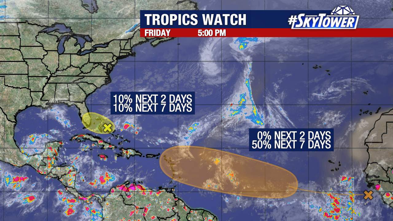
There are two areas currently being monitored in the Atlantic for development.
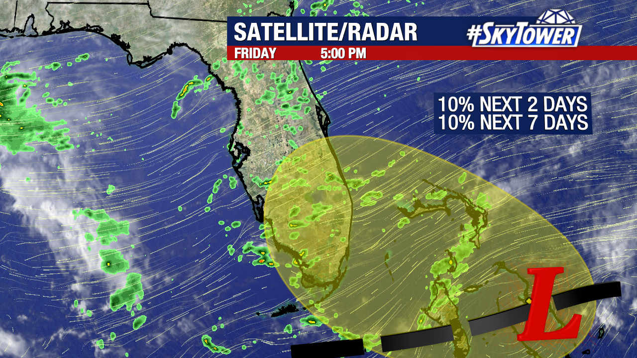
An area of low pressure over the Bahamas has a low (10%) chance of formation within the next seven days.
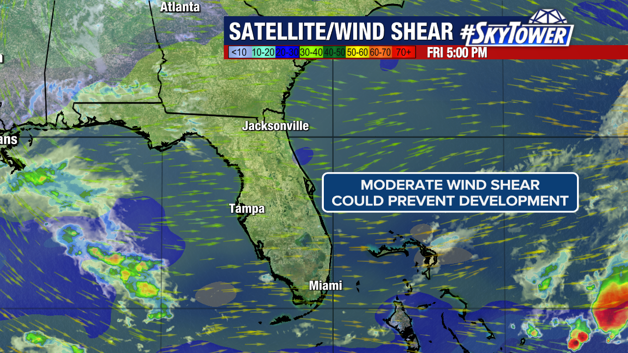
Moderate wind shear over the western Atlantic will make it difficult for this spot to get organized.
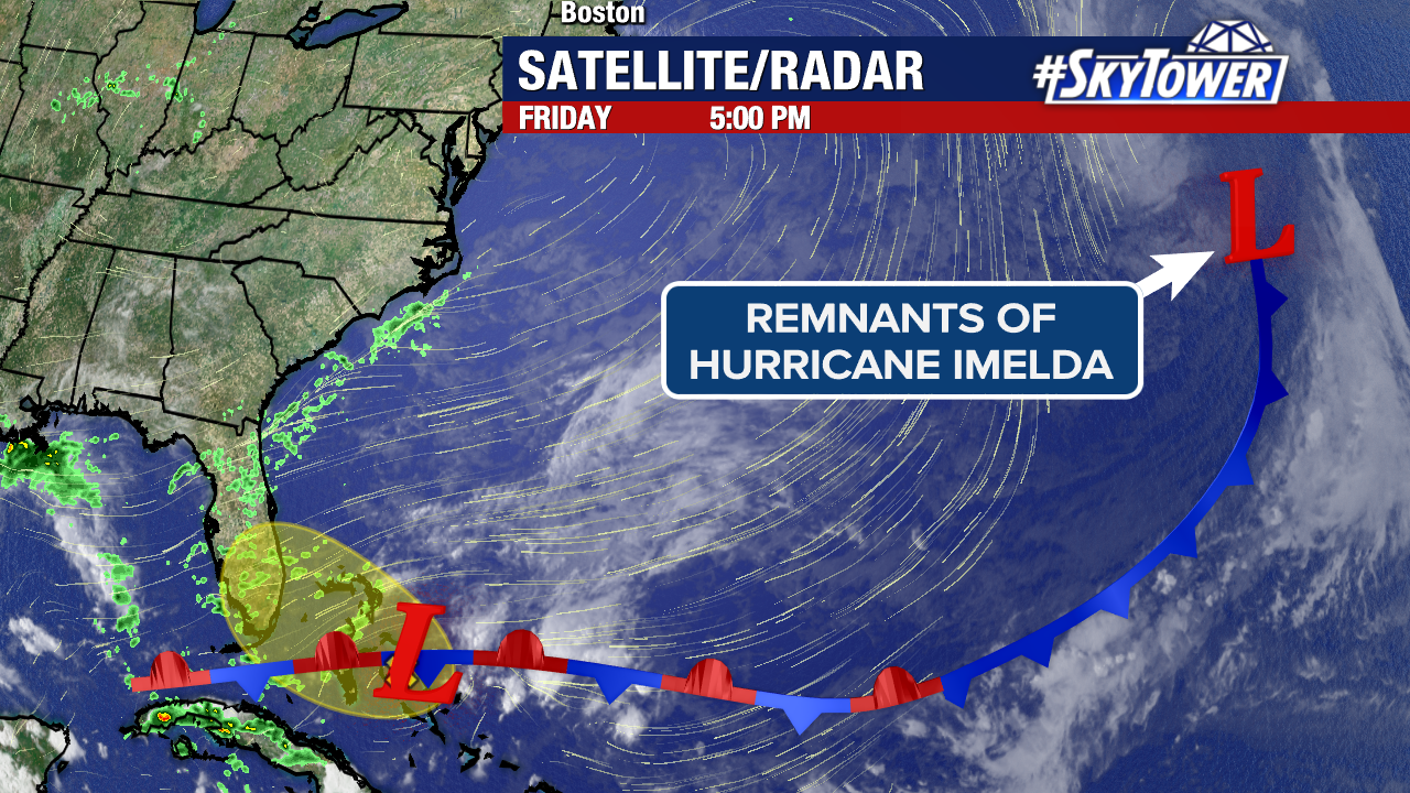
Interestingly enough, this formed along the frontal boundary that stems from the remnants of Hurricane Imelda.
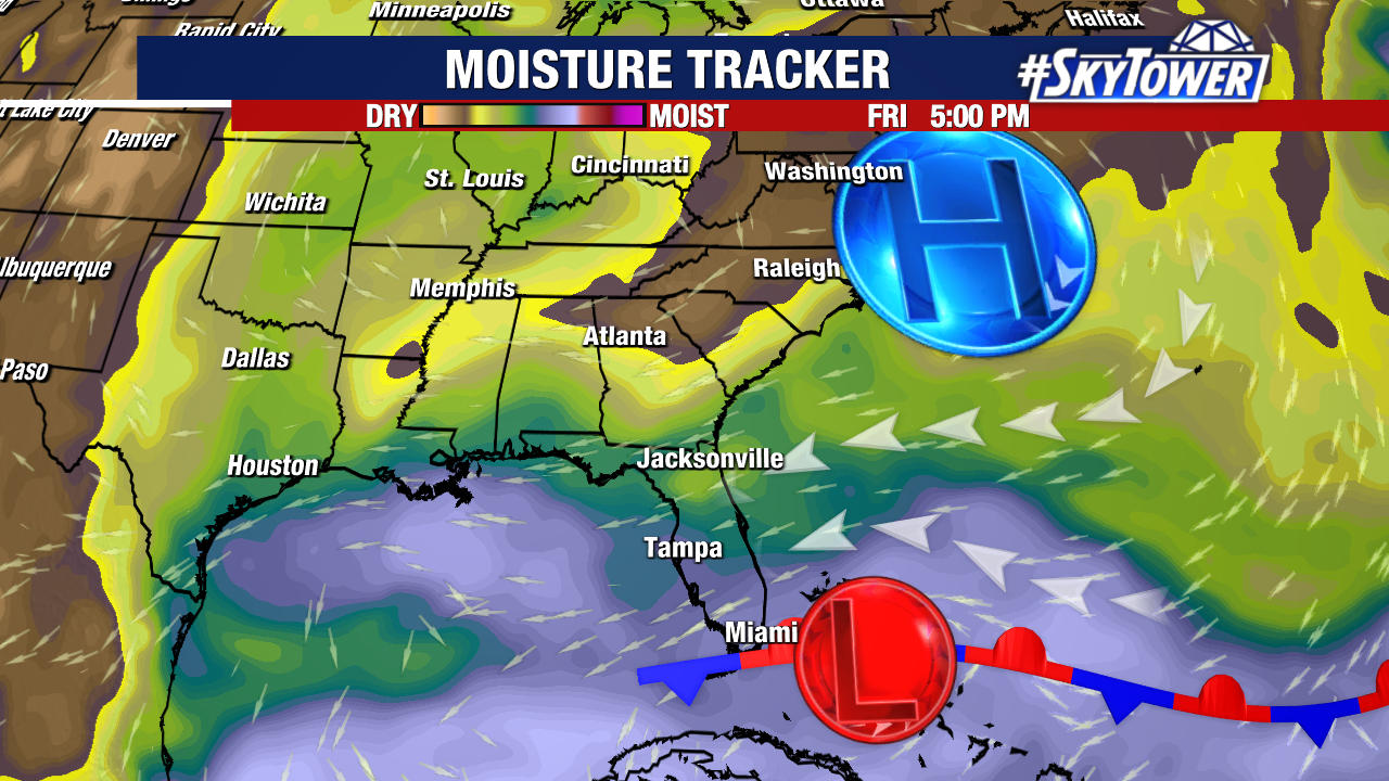
The combination of this low and a robust high-pressure system to its north will funnel deep tropical moisture into the east coast of Florida.
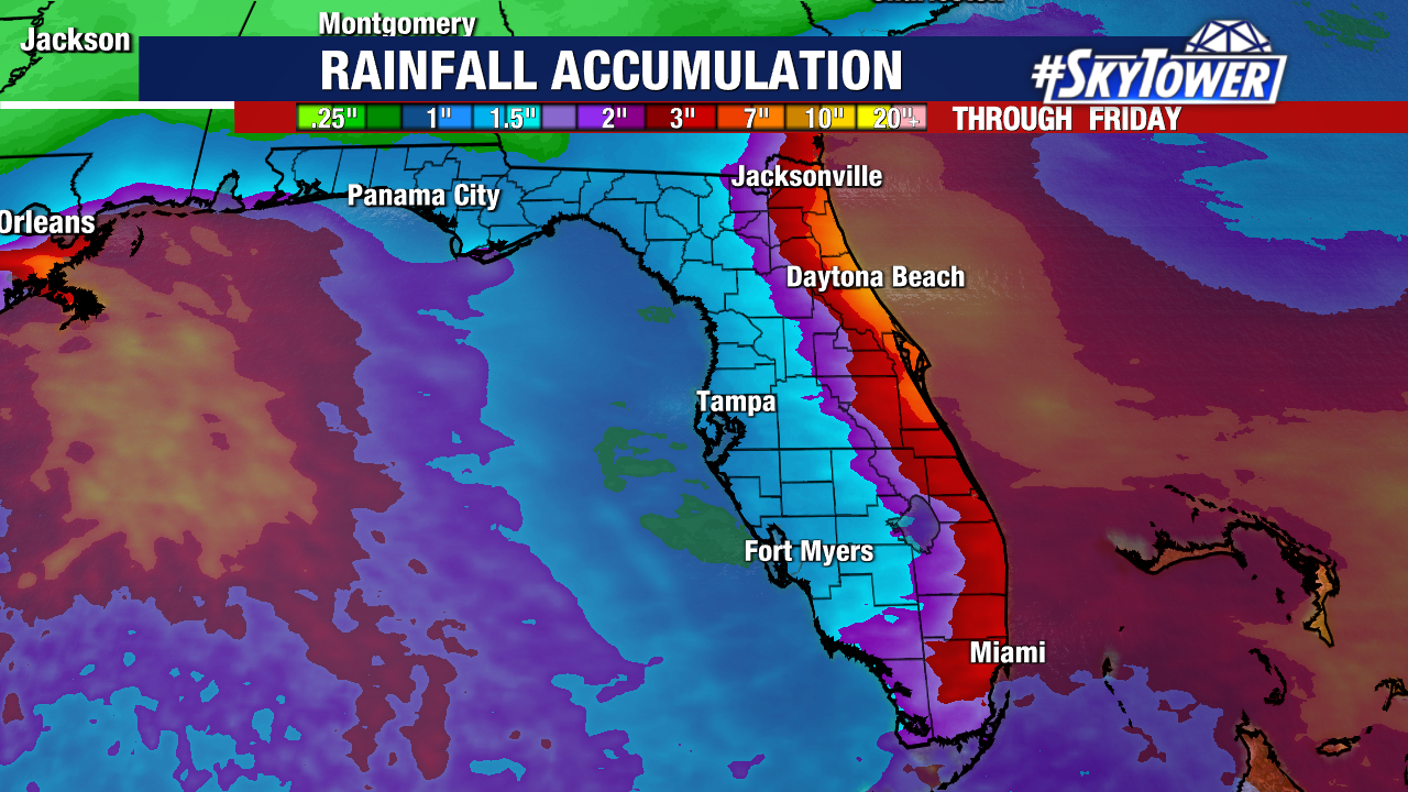
This will make for a breezy few days across the state with amplified rain chances along our east coast, regardless of whether tropical development actually occurs.
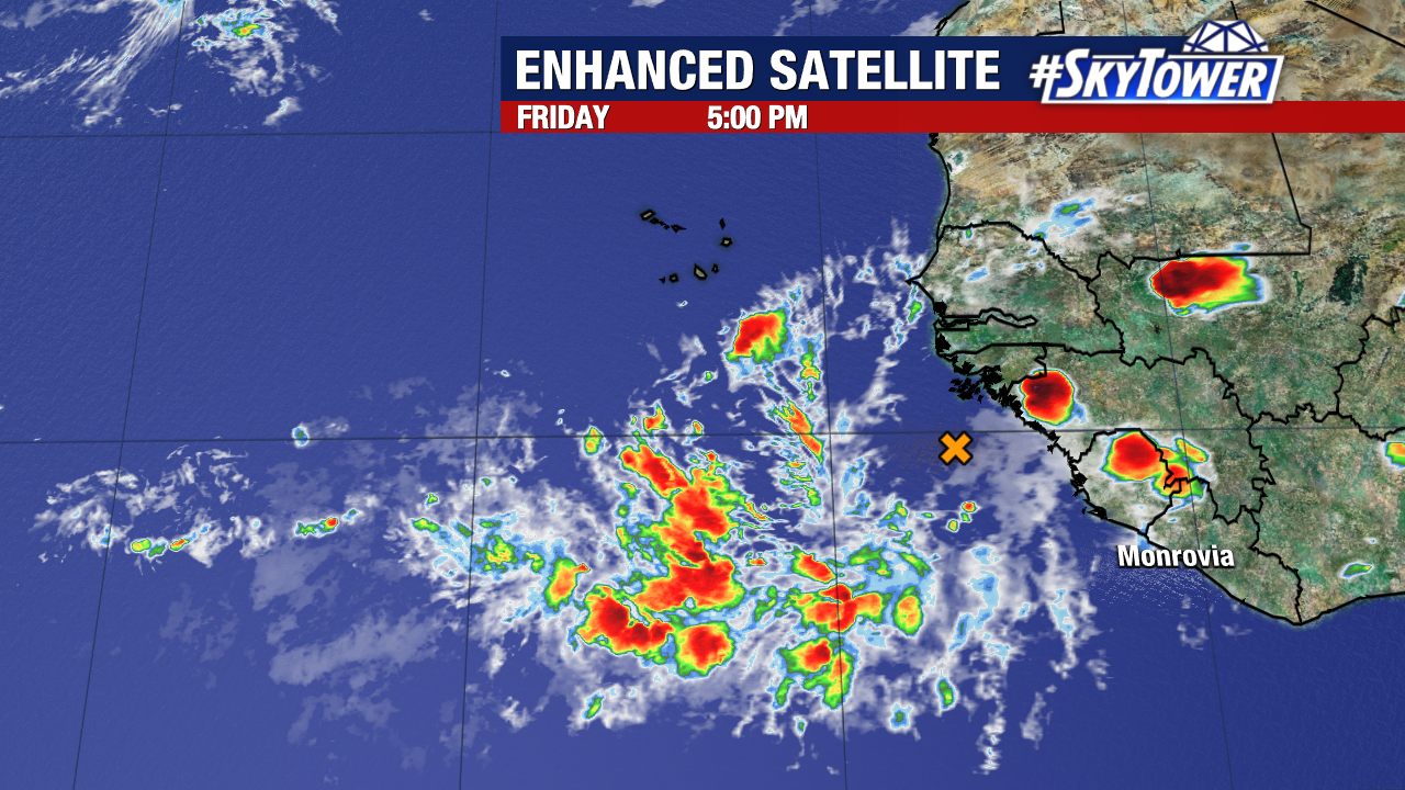
A tropical wave emerging off Africa’s coastline today has a medium (50%) chance of development within the next seven days.
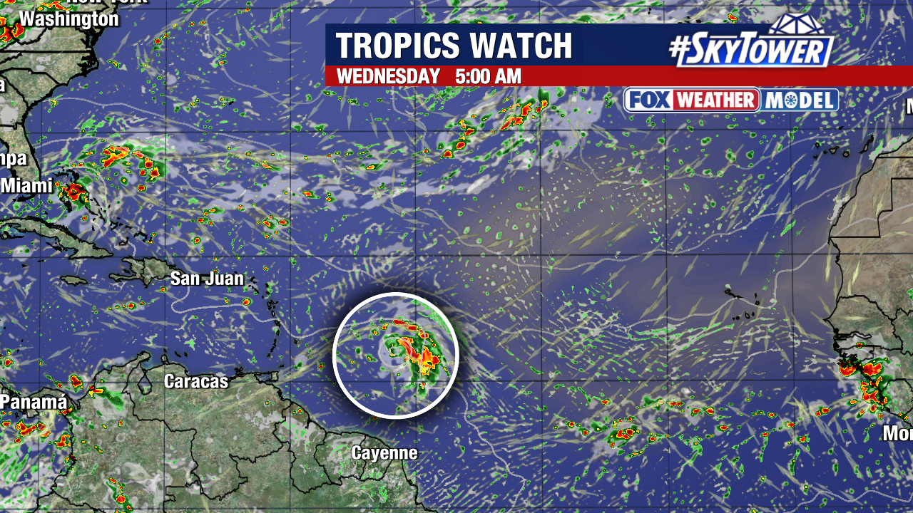
Many long-range weather models now show this system developing in the western tropical Atlantic next week. The Lesser Antilles should keep an eye on its progress. This is over 4,000 miles away from our coastline and poses no immediate threat to the United States. Weather models would become significantly more dependable after a tropical storm or depression actually forms.
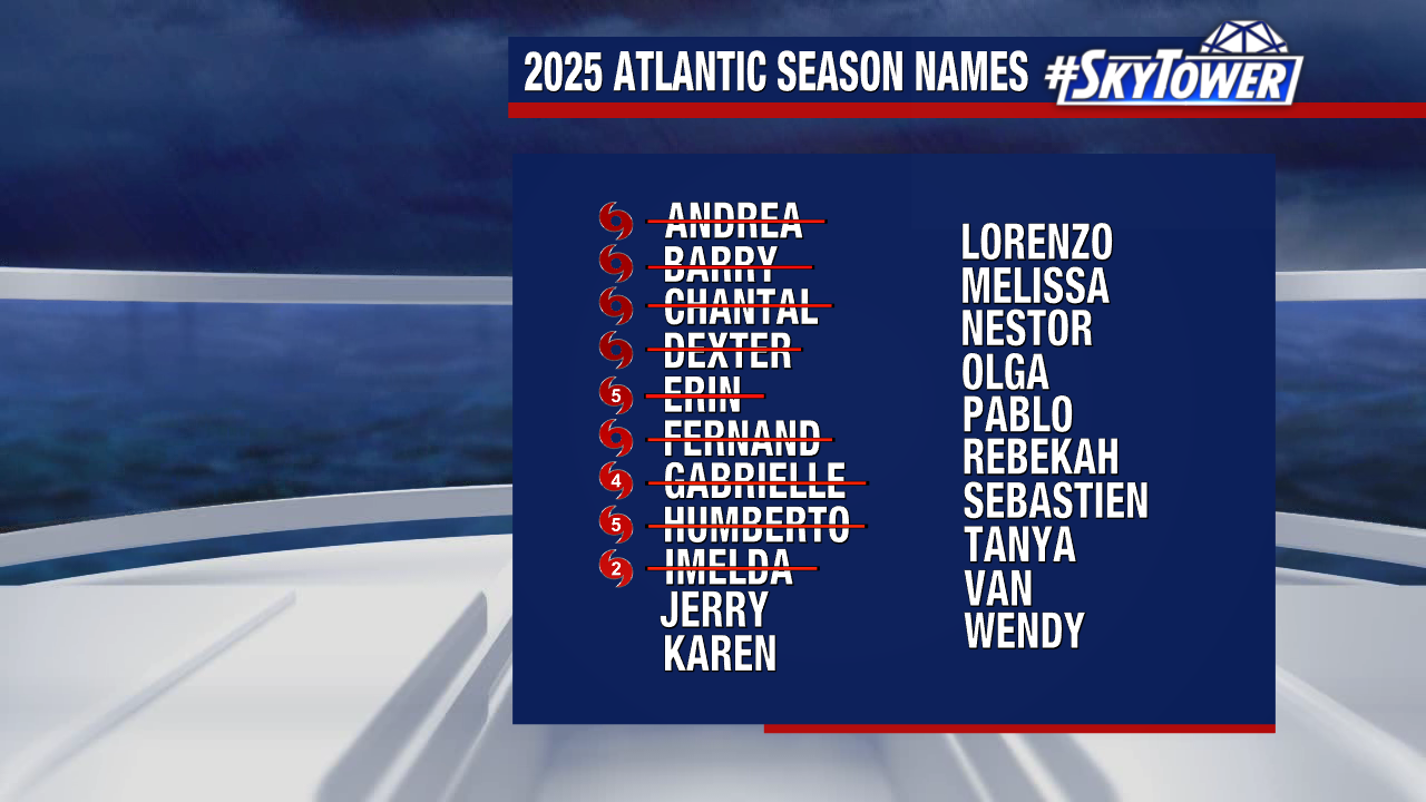
If a new tropical storm forms, the next name on our 2025 storm naming list would be “Jerry.”