
We’ve been watching a few waves kick off the coast of Africa and Invest 97L has a good chance to form in the week ahead. The development odds have steadily been climbing for this area – now 80% in the next 7 days.
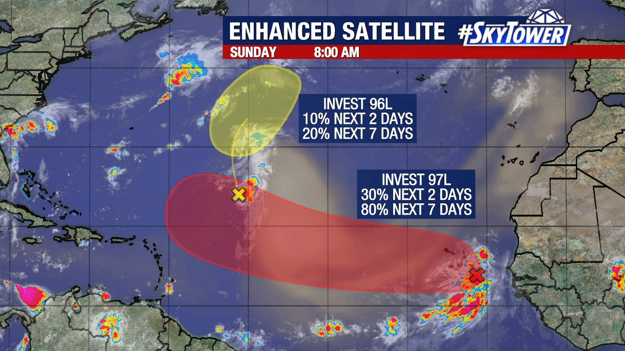
The yellow highlighted area, Invest 96L, is looking less impressive as it battles Saharan dust. This area will continue to weaken the next few days.
Behind it, the tropical wave emerging off the coast of Africa is producing a large area of storms just southeast of the Cabo Verde Islands.
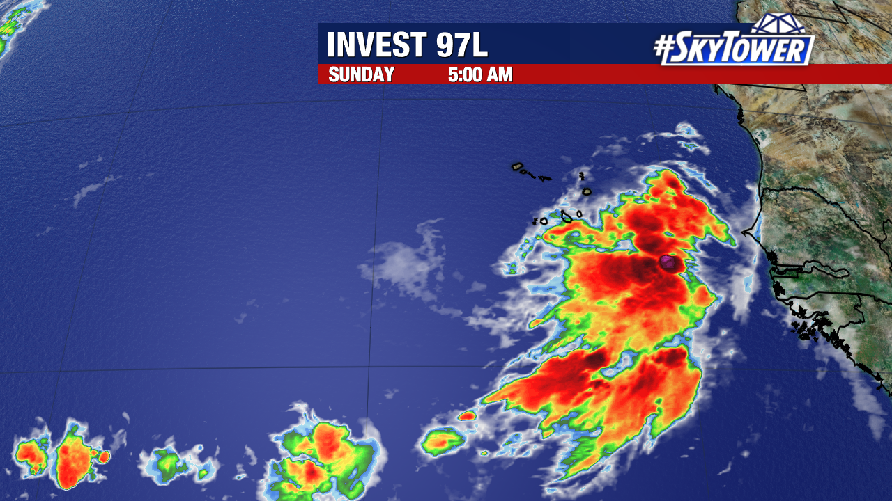
This could become the first hurricane of the season as it moves west-northwest. There is a lot of runway for strengthening and conditions are favorable for this to become a tropical depression around the middle of this week.
It will face some challenges from dry air and dust over the Atlantic. But as it gets closer to the Caribbean, the atmosphere is more favorable for it to strengthen.
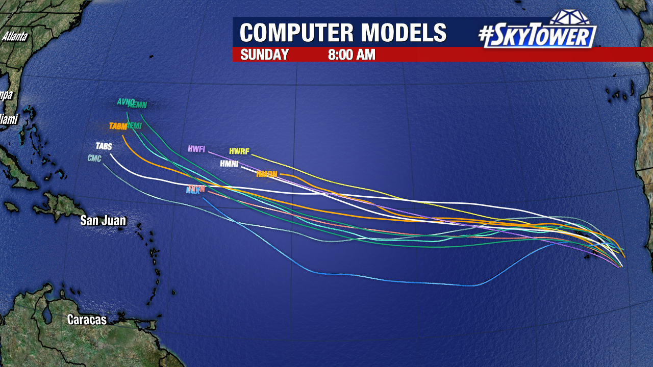
Currently trends favor a turn north that would keep this east of Florida and the East Coast given the upper steering pattern. It is too early for high confidence in any track and we will look for model consistency over the next few days.
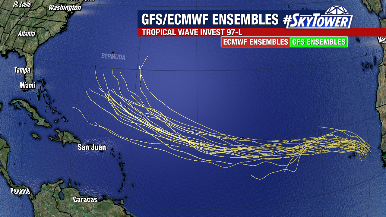
This is about a week out so we will watch it evolve and keep you updated.
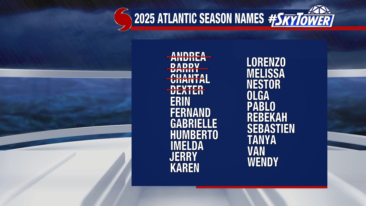
Erin is the next name in line. August 11 is the average date the first hurricane of the season forms in the Atlantic.