
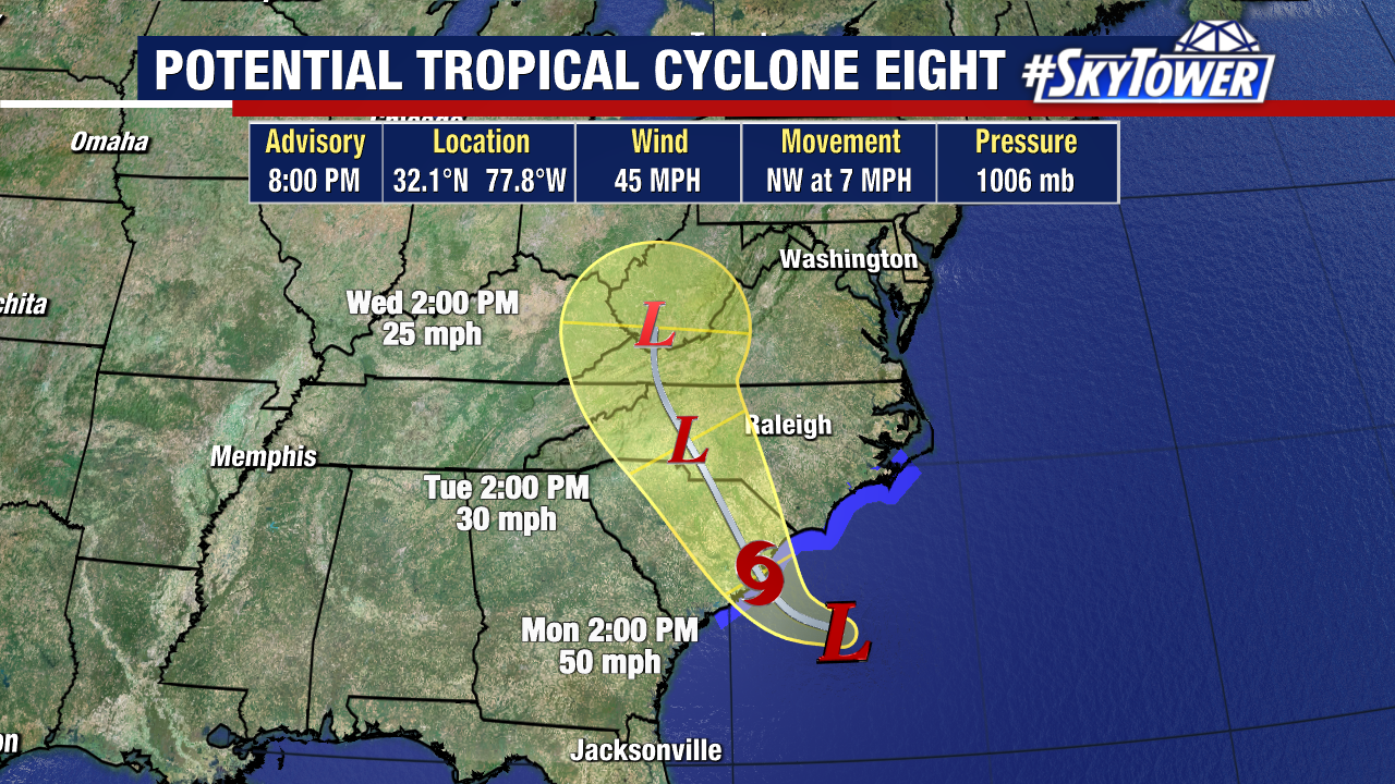
Tropical storm warnings have been issued for portions of the Carolinas ahead of Potential Tropical Cyclone 8. Tropical storm-force winds, flash flooding, coastal flooding, and high surf will be its main hazards beginning tonight and continuing for the next few days.
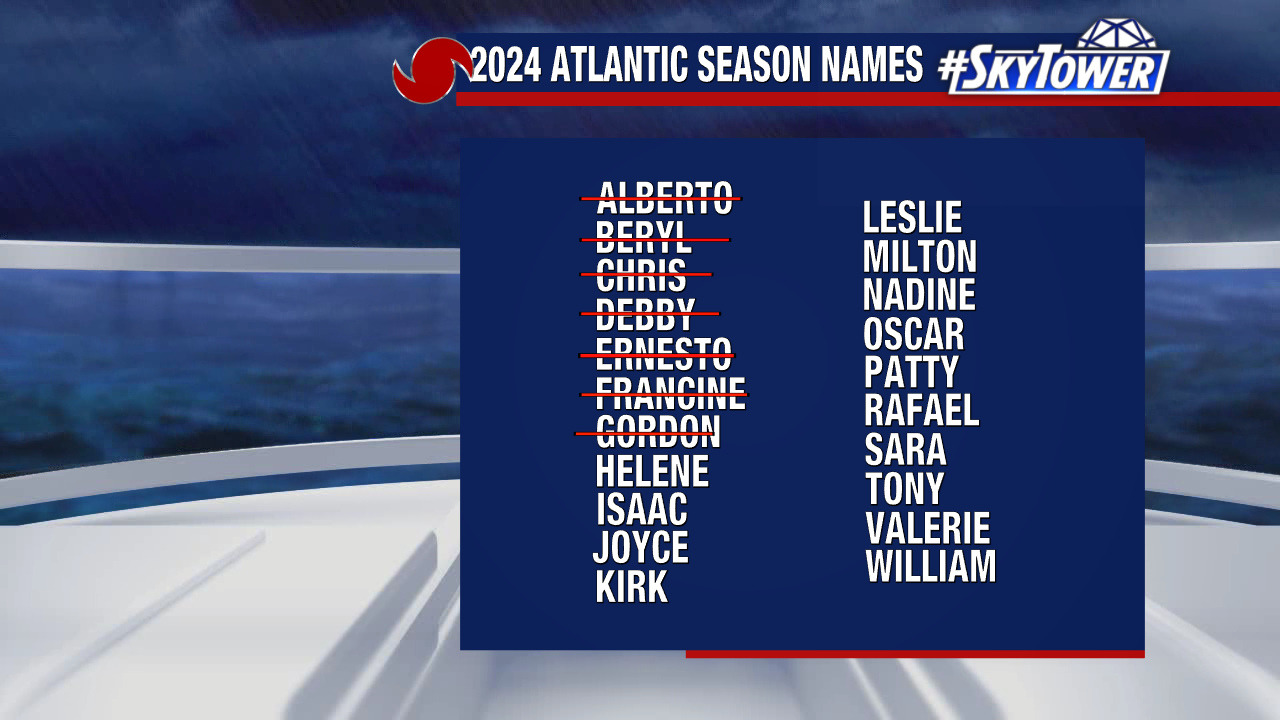
This system will take the name “Helene” if it organizes before landfall.
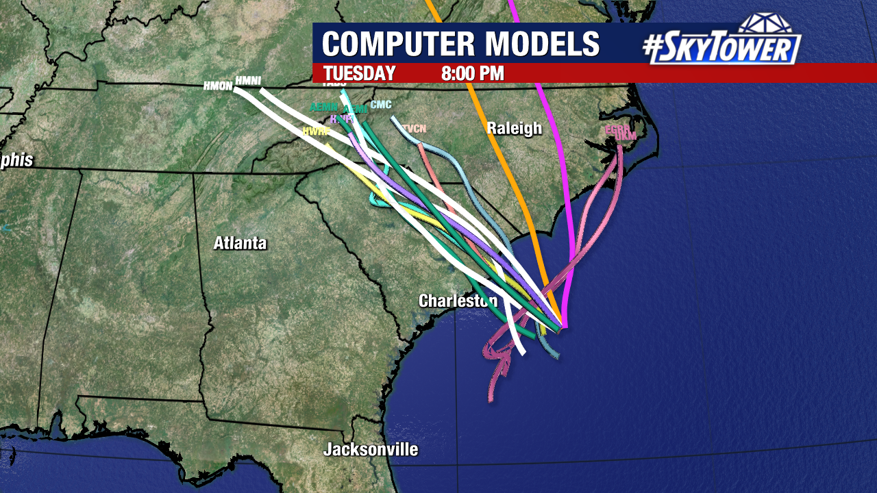
Models have been in good agreement on the potential locations it would move on shore. Potential Tropical Cyclone 8 is not a threat to Florida.
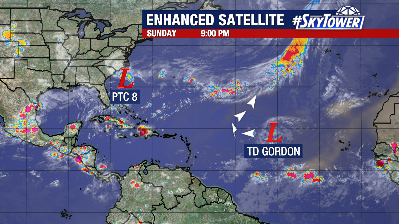
Meanwhile, we still have Gordon in the central tropical Atlantic. Gordon is a tropical depression and will likely remain out at sea after curving away from the United States later this week.